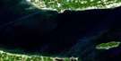
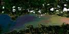
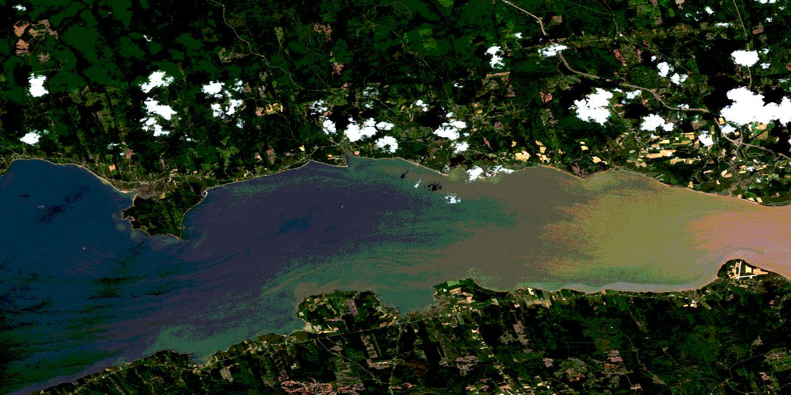
Bass River Satellite Image Map
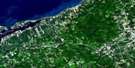
Download Free Aerial Photo 011E05 at 1:50,000 scale
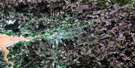
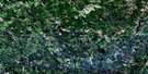
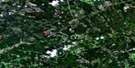
Bass River Satellite Imagery
To view this satellite map, mouse over the air photo on the right.
You can also download this satellite image map for free:
011E05 Bass River high-resolution satellite image map.
Maps for the Bass River aerial map sheet 011E05 at 1:50,000 scale are also available in these versions:
Bass River Surrounding Area Aerial Photo Maps
 |
 |
 |
 |
 |
 |
 |
 |
 |
 |
 |
 |
 |
 |
 |
 |
© Department of Natural Resources Canada. All rights reserved.
Bass River Gazetteer
The following places can be found on satellite image map 011E05 Bass River:
Bass River Satellite Image: Bays
Clement CoveCobequid Bay
Halfmoon Cove
King Creek
King Creek
Minas Basin
Moose Cove
Noel Bay
Shad Creek
Bass River Satellite Image: Beaches
Little Dyke BeachLower Debert Beach
Portapique Beach
Bass River Satellite Image: Capes
Burntcoat HeadCape Tenny
Corbett Point
Economy Point
Lighthouse Point
Noel Head
Salter Head
Spencer Point
Spencers Point
Bass River Satellite Image: Geographical areas
ColchesterCumberland
Hants
Bass River Satellite Image: Lakes
Austin LakeBeaver Ponds
Economy Lake
Gamble Lake
Gamble Lake Pond
John Hennigar Lake
Little Dyke Lake
Louis Crowe Lake
Maitland Millpond
McLauchlin Lake
McLaughlin Pond
Newton Lake
Newton Pond
Noel Lake
Round Lake
Toad Lake
Bass River Satellite Image: Mountains
Birch HillCobequid Mountains
Creelman Hill
Folly Mountain
MacLellan Mountain
Portapique Mountain
Bass River Satellite Image: Major municipal/district area - major agglomerations
ColchesterCumberland
East Hants
Bass River Satellite Image: Conservation areas
Anthony Provincial ParkBass River Satellite Image: Rivers
Bass RiverBear Brook
Beaver Brook
Beaver Meadow Brook
Beech Brook
Bills Brook
Black Brook
Bulmer Brook
Callaghan Brook
Campbell Brook
Carr Brook
Carrs Brook
Cayley Brook
Chain Lake Brook
Chain Lake Stream
Cook Brook
Corbett Brook
Crowe Brook
Cumberland Brook
Dead Horse Brook
Debert River
Densmore Brook
Doyle Brook
East Branch Economy River
East Branch Folly River
East Branch Stirling Brook
East Economy River
East Folly River
East Noel River
East River
East River of Five Islands
Economy River
Etter Brook
Five Houses Brook
Five Mile River
Fivemile River
Folly River
Gamble Brook
Great Village River
Hill Brook
Jackson Brook
King Creek
King Creek Brook
Lattie Brook
Latties Brook
Little Bass River
Martin Brook
Matheson Brook
McCurdy Creek
McElman Brook
McElmon Brook
Mile Brook
Mill Brook
Miller Brook
Mines Brook
Moore Brook
Moose Brook
Moose Brook
Mungo Brook
Murphy Brook
Noel River
Peleg Brook
Peppard Brook
Pollys Brook
Portapique River
Rennie Brook
Robinson Brook
Rockland Brook
Rockland River
Saltspring Brook
Selma Brook
Selmah Brook
Shad Brook
Shad Brook
Shad Creek Brook
Spencer Brook
Sterling Brook
Stirling Brook
Tennycape River
Tunnel Brook
Weatherbe Brook
Weatherby Brook
West Bass River
West Branch Economy River
West Economy River
West McElman Brook
West McElmon Brook
West Tennycape River
Wetherbe Brook
Wilcox Brook
Bass River Satellite Image: Shoals
Brick KilnBrick Kiln Ledges
Sloop Rocks
Walton Bar
White Rock
Bass River Satellite Image: Unincorporated areas
Bass RiverBirch Hill
Burntcoat
Carrs Brook
Cove Road
Densmores Mills
East Mines Station
East Noel
East Village
East Walton
Economy
Economy Point
Edgewood
Five Houses
Folly Mountain
Gerrish Valley
Glenholme
Gormanville
Great Village
Hennigar
Highland Village
Hoegs Corner
Kings Rest
Kings' Rest
Kings' Rest
Lake Road
Little Bass River
Little Dyke
Londonderry
Londonderry Station
Lornevale
Lower Debert
Lower Economy
Lower Selma
Lower Selmah
Maitland
Maple Grove
Minasville
Montrose
Moose Brook
Noel
Noel Shore
Northfield
Pleasant Hills
Portapique
Portapique Mountain
Probert
Saints Rest
Saints' Rest
Scrabble Hill
Selma
Selmah
Stirling Brook
Tennycape
Upper Bass River
Upper Economy
West Montrose
Bass River Satellite Image: Low vegetation
Beaver MeadowJoe Crowe Meadow
Lyons Marsh
Northfield Bog
© Department of Natural Resources Canada. All rights reserved.
011E Related Maps:
011E Truro011E01 Liscomb
011E02 Upper Musquodoboit
011E03 Shubenacadie
011E04 Kennetcook
011E05 Bass River
011E06 Truro
011E07 Hopewell
011E08 Lochaber
011E09 Merigomish
011E10 New Glasgow
011E11 Tatamagouche
011E12 Oxford
011E13 Pugwash
011E14 Malagash
011E15 Pictou Island
011E16 Malignant Cove
