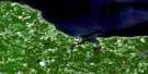
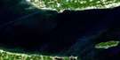
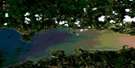
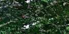
Malagash Satellite Image Map
Download Free Aerial Photo 011E14 at 1:50,000 scale
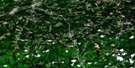
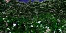
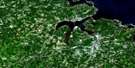
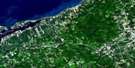
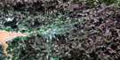
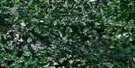
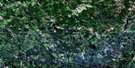
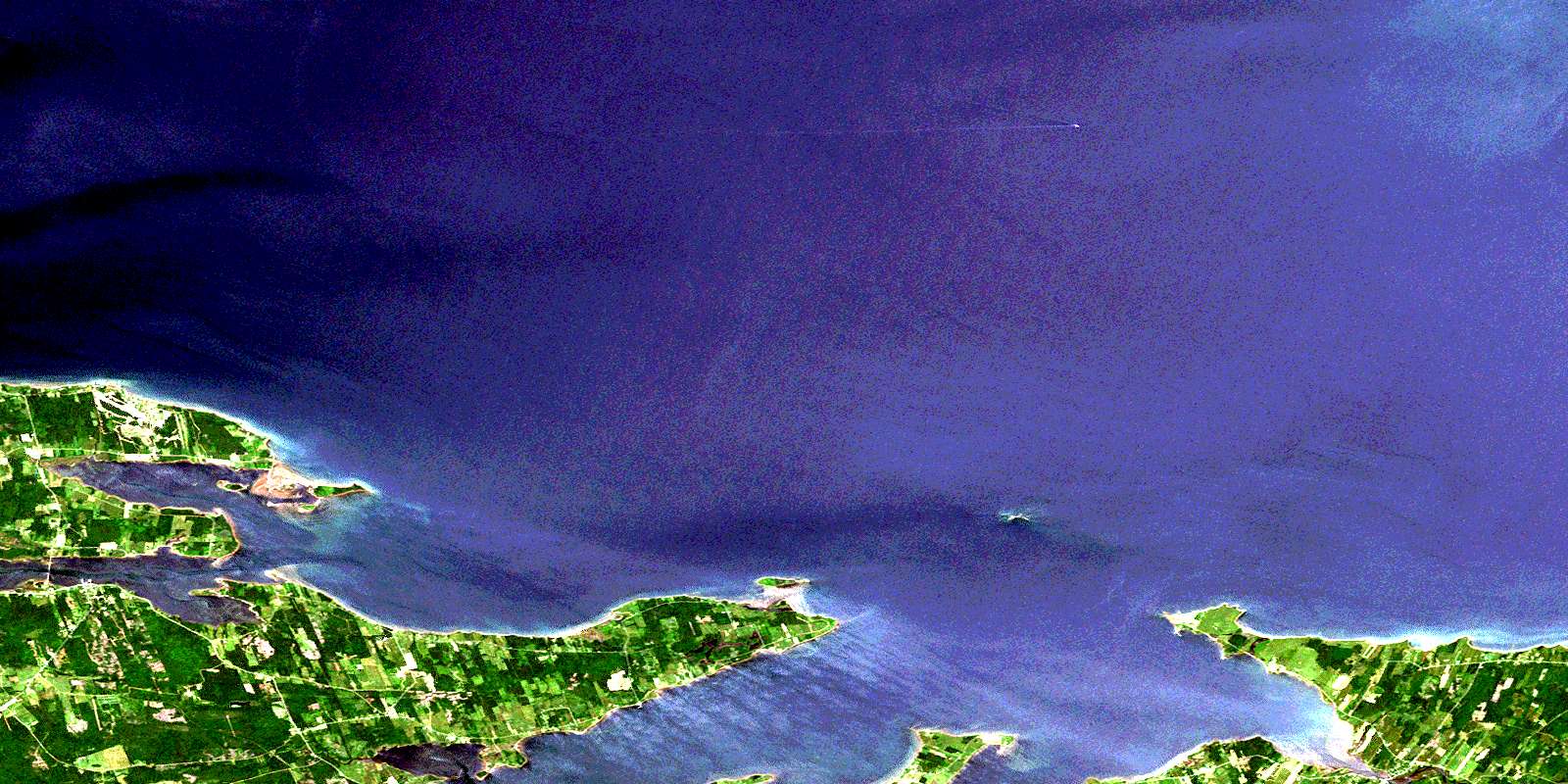
Malagash Satellite Imagery
To view this satellite map, mouse over the air photo on the right.
You can also download this satellite image map for free:
011E14 Malagash high-resolution satellite image map.
Maps for the Malagash aerial map sheet 011E14 at 1:50,000 scale are also available in these versions:
Malagash Surrounding Area Aerial Photo Maps
 |
 |
 |
 |
 |
 |
 |
 |
 |
 |
 |
 |
 |
 |
 |
 |
© Department of Natural Resources Canada. All rights reserved.
Malagash Gazetteer
The following places can be found on satellite image map 011E14 Malagash:
Malagash Satellite Image: Bays
Amet SoundBarachois Harbour
Barrachois Harbour
Brown Bay
Brule Harbour
Brûlé Harbour
David Creek
Fox Creek
Fox Harbour
Golfe du Saint-Laurent
Gulf of St. Lawrence
Hithon Bight
John Bay
Lazy Bay
Little Cove
MacLeod Cove
McNabs Bay
Megs Cove
Salisbury Bight
Seamon Creek
Skinner Cove
Skinners Cove
Tatamagouche Bay
The Basin
Wallace Harbour
Malagash Satellite Image: Beaches
Hortons BeachLong Beach
MacLeans Beach
Murray Beach
The Flat
Malagash Satellite Image: Capes
Amet SpitAngel Point
Archibalds Point
Betts Point
Brule Point
Brule Point
Brûlé Point
Cantwell Point
Cape Cliff
Cape John
Caulfield Point
Chambers Point
Clarks Point
Dougherty Point
Forbes Point
Gravois Point
Horton Point
Johnsons Point
Lazy Point
Long Point
Macfarlane Point
Mackenzie Point
Malagash Point
Marsh Point
McIver Point
McIvers Head
McNab Point
McNabs Point
Mullins Point
Murphy Point
Palmer Point
Peninsula Point
Quarry Point
Reef Point
Robinsons Point
Rocky Point
Salisbury Point
Sandies Point
Schooner Point
Smith Point
Treen Point
Weatherbie Spit
Weatherbies Point
Weatherbies Spit
Malagash Satellite Image: Channels
Détroit de NorthumberlandEastern Passage
Middle Passage
Northumberland Strait
Oak Island Gully
Ship Channel
Western Passage
Malagash Satellite Image: Cliffs
Treen BluffMalagash Satellite Image: Geographical areas
ColchesterCumberland
Pictou
Malagash Satellite Image: Islands
Amet IslandEmerys Island
Jerry Island
Oak Island
Oyster Island
Purdy Island
Saddle Island
Snag Island
Sunken Island
Thrumcap
Waugh Island
Malagash Satellite Image: Lakes
Duck PondMacInnis Pond
Malagash Satellite Image: Major municipal/district area - major agglomerations
ColchesterCumberland
Pictou
Malagash Satellite Image: Conservation areas
Fox Harbour Provincial ParkRushtons Beach Provincial Park
Malagash Satellite Image: Rivers
Charman BrookConley Creek
Dewar River
Golden Brook
Hurd Brook
Meads Brook
Mill Brook
Purdy Creek
River John
Robinson Brook
Ross Brook
Seal Creek
Wade Brook
Malagash Satellite Image: Shoals
Amet Island ShoalsAmet Shoals
Betts Ground
Brule Shoals
Brûlé Shoals
East Patch
Eastern Peak
Georgies Bank
Horton Bank
Hortons Bank
Jollimore Reef
Middleground Shoal
Oak Island Bar
Shag Rock
Shag Rocks
Ship Bar
The Flats
The Rock Pile
Treen Reef
Treen Reef
Trenholm Shoal
Washball Reef
Washball Rock
Waugh Shoal
Malagash Satellite Image: Unincorporated areas
Back ShoreBlue Sea Corner
Brule Point
Brule Shore
Brûlé Shore
Cape John
East Wallace
Fox Harbour
Hedgeville
Malagash
Malagash Center
Malagash Mine
Malagash Point
Malagash Station
Marshville
Melville
North Shore
North Wallace
Richmond
River John
Six Mile Road
South Shore
Upper Malagash
Wallace
Wallace Ridge
Wallace Station
Westerly
Westerly
© Department of Natural Resources Canada. All rights reserved.
011E Related Maps:
011E Truro011E01 Liscomb
011E02 Upper Musquodoboit
011E03 Shubenacadie
011E04 Kennetcook
011E05 Bass River
011E06 Truro
011E07 Hopewell
011E08 Lochaber
011E09 Merigomish
011E10 New Glasgow
011E11 Tatamagouche
011E12 Oxford
011E13 Pugwash
011E14 Malagash
011E15 Pictou Island
011E16 Malignant Cove
