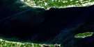
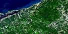
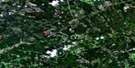
Truro Satellite Image Map
Download Free Aerial Photo 011E06 at 1:50,000 scale
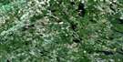
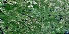
Truro Satellite Imagery
To view this satellite map, mouse over the air photo on the right.
You can also download this satellite image map for free:
011E06 Truro high-resolution satellite image map.
Maps for the Truro aerial map sheet 011E06 at 1:50,000 scale are also available in these versions:
Truro Surrounding Area Aerial Photo Maps
 |
 |
 |
 |
 |
 |
 |
 |
 |
 |
 |
 |
 |
 |
 |
 |
© Department of Natural Resources Canada. All rights reserved.
Truro Gazetteer
The following places can be found on satellite image map 011E06 Truro:
Truro Satellite Image: Bays
Cobequid BayTruro Satellite Image: Capes
Eagles Nest PointLockherds Point
Lyons Head
Truro Satellite Image: Falls
Sam Higgins FallsTruro Satellite Image: Geographical areas
ColchesterHants
Pictou
Truro Satellite Image: Indian Reserves
Millbrook 27Truro 27A
Truro 27B
Truro 27C
Truro Satellite Image: Islands
Smith IslandYuill Island
Truro Satellite Image: Lakes
Barren LakeBentley Lake
Big Lake
Bob Lake
Deyarmont Lake
Dick Pike Lake
Fentons Lake
Flat Iron Lake
Gibbs Lake
Harts Lake
Hay Lake
Higgins Pond
Hingley Lake
Hydes Lake
Irwin Lake
Irwins Lake
June Lake
Little Lake
Little Lake
Long Lake
MacElmons Pond
Maitland Millpond
Moose Lake
Pratts Lake
Sibleys Pond
Three Lakes
Totten Lakes
Trenholms Lake
Trout Lake
Twin Lakes
Withrows Lake
Truro Satellite Image: Military areas
Champ de tir DebertDebert Range
Truro Satellite Image: Mountains
Beech HillCobequid Mountains
Foundry Hill
Half Moon Hill
Penny Mountain
Wilson Mountain
Truro Satellite Image: Major municipal/district area - major agglomerations
ColchesterEast Hants
Pictou
Truro Satellite Image: Conservation areas
Debert Game SanctuaryDebert Wildlife Management Area
MacElmons Pond Provincial Park
Manganese Mines Wildlife Management Area
Truro Satellite Image: Rivers
Alder BrookAndrew Brook
Baird Brook
Barren Brook
Bear Brook
Beaver Brook
Beaver Brook
Black River
Blair Brook
Brandy Brook
Braynion Brook
Braynton Brook
Browns Brook
Calvary River
Calvary Stream
Campbell Brook
Canoe Brook
Carter Creek
Chapman Brook
Chiganois River
Christie Brook
Clifford Brook
Coal Mine Brook
Cranberry Brook
Crooked Ash Brook
Crowe Brook
Crowes Brook
Debert River
Dunlop Brook
Farnham Brook
Field Brook
Fields Brook
Fisher Creek
Five Mile River
Fivemile River
Fraser Brook
Galloping Brook
Gowan Brook
Grassy Brook
Greenfield Brook
Greens Creek
Half Moon Brook
Higgins Brook
Hingley Siding Brook
Jack Brook
Johnny Brook
Lake Brook
Lamby Brook
Legge Brook
Lepper Brook
Lightbody Brook
Little River
Mass Creek
Maynard Brook
McClures Brook
McCurdy Brook
McKenzie Brook
McLure Brook
McNutt Brook
Meadow Brook
Middle Branch North River
Middle Branch of North River
Mill Brook
Mill Brook
Murray Brook
Murray Brook
Narrow Mouth Brook
North River
Old Sams Brook
Otter Brook
Pembroke River
Pine Brook
Pitch Brook
Plaster Brook
Pleasant Brook
Putnam Brook
Rutherford Brook
Salmon River
Shubenacadie River
Soley Brook
South Branch North River
South Brook
South North River
Staples Brook
Steele Run
Totten Brook
Tunnel Brook
Walls Brook
Weatherbe Brook
Weatherby Brook
West Branch North River
West Branch of North River
West North River
Wetherbe Brook
Whidden Brook
Wilson Brook
Truro Satellite Image: Towns
TruroTruro Satellite Image: Unincorporated areas
ArchibaldBeaver Brook
Belmont
Black Rock
Brookfield
Brookside
Camden
Central North River
Central Onslow
Clifton
Cottam Settlement
Crowe Mills
Crowes Mills
Debert
Delaney Settlement
East Folly Mountain
East Mines
East Mountain
Fort Belcher
Green Oaks
Greenfield
Harmony
Harmony Road
Hilden
Kemptown
Lower Harmony
Lower Onslow
Lower Pleasant Valley
Lower Truro
Maitland
Manganese Mines
Masstown
McCallum Settlement
McClures Mills
McCurdy
McCurdys Corner
Millbrook
Murray
Murrays Siding
North River
Old Barns
Onslow
Onslow Mountain
Pleasant Valley
Princeport
Princeport Road
Riversdale
Salmon River
Smithfield
South Maitland
Staples Brook
Truro Heights
Union
Upper Brookfield
Upper Brookside
Upper Kemptown
Upper North River
Upper Onslow
Upper Pleasant Valley
Valley
Valley Cross Roads
Valley Station
Truro Satellite Image: Low vegetation
Totten MeadowTruro Satellite Image: Villages
Bible Hill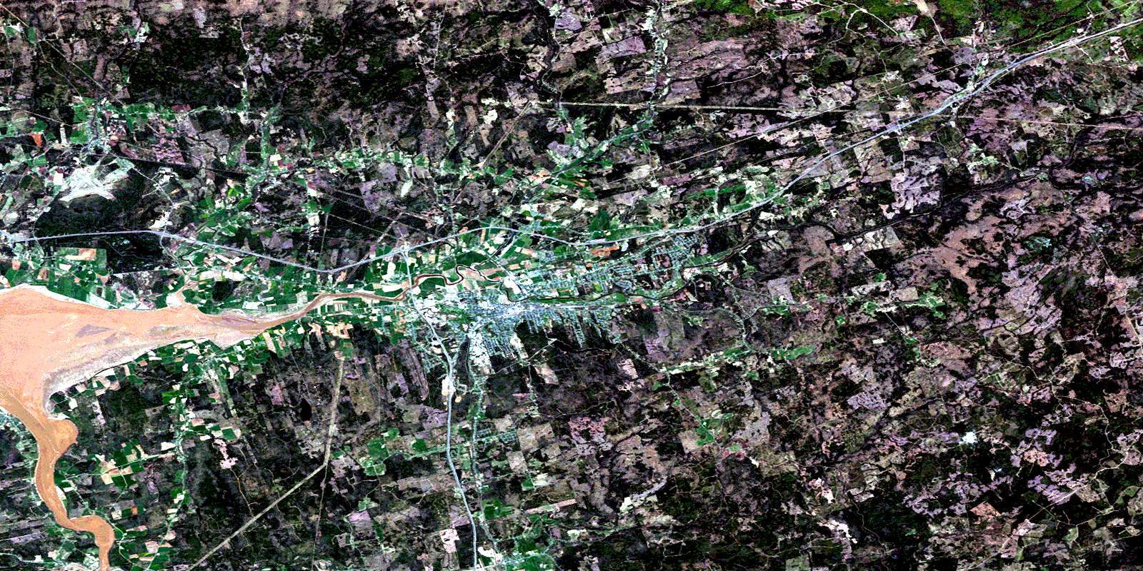
© Department of Natural Resources Canada. All rights reserved.
011E Related Maps:
011E Truro011E01 Liscomb
011E02 Upper Musquodoboit
011E03 Shubenacadie
011E04 Kennetcook
011E05 Bass River
011E06 Truro
011E07 Hopewell
011E08 Lochaber
011E09 Merigomish
011E10 New Glasgow
011E11 Tatamagouche
011E12 Oxford
011E13 Pugwash
011E14 Malagash
011E15 Pictou Island
011E16 Malignant Cove
