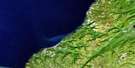
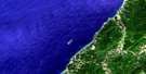
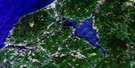
Bras D'Or Satellite Image Map
Download Free Aerial Photo 011K08 at 1:50,000 scale
Bras D'Or Satellite Imagery
To view this satellite map, mouse over the air photo on the right.
You can also download this satellite image map for free:
011K08 Bras D'Or high-resolution satellite image map.
Maps for the Bras D'Or aerial map sheet 011K08 at 1:50,000 scale are also available in these versions:
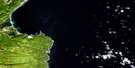
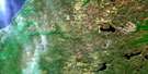
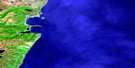
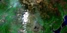
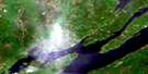
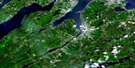
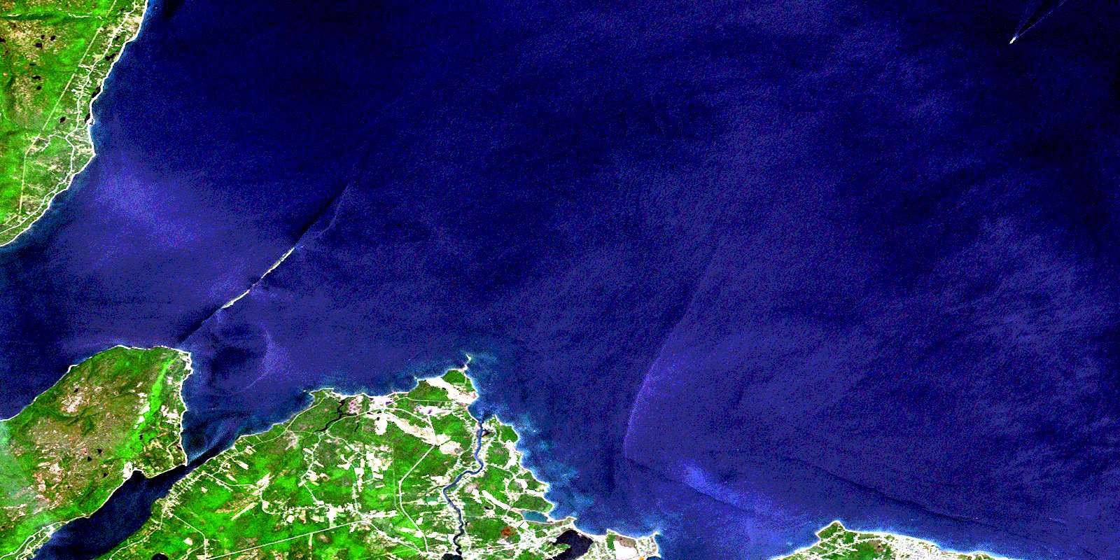
Bras D'Or Surrounding Area Aerial Photo Maps
 |
 |
||
 |
 |
 |
|
 |
 |
 |
|
 |
 |
 |
 |
© Department of Natural Resources Canada. All rights reserved.
Bras D'Or Gazetteer
The following places can be found on satellite image map 011K08 Bras D'Or:
Bras D'Or Satellite Image: Bays
Arsenault CreekAulds Cove
Breton Cove
Briton Cove
Crawley Creek
Fairy Hole
First Cove
French River Cove
Golfe du Saint-Laurent
Graces Cove
Gulf of St. Lawrence
Kelly Cove
Kellys Cove
Lloyd Cove
MacLean Cove
MacPhees Cove
McCready Creek
McLean Cove
Micks Hole
Mill Creek
Plants Creek
Port Shoal
Ribbys Cove
Second Cove
Spanish Bay
St. Ann Bay
St. Anns Bay
St. Ann's Bay
Stewarts Cove
Sydney Harbour
Bras D'Or Satellite Image: Beaches
Big Grappling BeachBroken Grounds
Florence Beach
Gooseberry Beach
Little Grappling Beach
Munroe Beach
Plaster Shore
Sandy Beach
Bras D'Or Satellite Image: Capes
Alder PointAulds Point
Bentinck Point
Berry Head
Birch Point
Black Point
Black Rock Point
Blackrock Point
Blue Nose Point
Bonar Head
Breton CovePoint
Cape Dauphin
Carey Point
Careys Point
Chain Point
Cowdy Point
Cranberry Point
Devoe Point
Duffus Point
Flat Point
French River Point
Gooseberry Point
Hectors Point
High Cape
Jessom Point
Jessome Point
Kelly Point
Kellys Point
Little River Point
Low Point
MacKenzie Point
Merritt Point
Noir Point
Oxford Point
Point Aconi
Point Jane
Sullivan Point
Swivel Point
Table Head
Bras D'Or Satellite Image: Channels
Great Bras d'OrLittle Bras d'Or
St. Andrew Channel
St. Andrews Channel
St. Andrew's Channel
Bras D'Or Satellite Image: Cliffs
Squatter BluffBras D'Or Satellite Image: Geographical areas
Cape BretonVictoria
Bras D'Or Satellite Image: Islands
Aconi IslandBird Islands
Boularderie Island
Cape Breton Island
Ciboux Island
Hertford Island
Île du Cap-Breton
Bras D'Or Satellite Image: Lakes
Big PondBreton Cove Pond
Briton Cove Pond
Careys Pond
Colin Ponds
Dalem Lake
Edwards Pond
Hectors Pond
Hortons Pond
Kellys Cove Pond
Kennys Pond
Little MacDermids Pond
Little Mill Pond
Little Pond
MacDermids Pond
MacDonalds Pond
MacInnis Pond
MacLeans Pond
MacLeod Lake
McLeod Lake
Mill Pond
Mill Pond
Morrison Pond
Pit Pond
Rocheal Pond
Smiths Ponds
Spinnigan Lakes
Spinnigan Lakes
The Barachois
Urquharts Lake
Bras D'Or Satellite Image: Mountains
Cape Dauphin MountainBras D'Or Satellite Image: Major municipal/district area - major agglomerations
Cape BretonVictoria
Bras D'Or Satellite Image: Conservation areas
Dalem Lake Provincial ParkPlaster Provincial Park
Bras D'Or Satellite Image: Rivers
Aconi (Fifes) BrookAconi Brook
Arsenault Brook
Arsenault Brook
Bains Brook
Big Brook
Buchanan Brook
Conn Creek
Crawley Brook
Dunphy Brook
Fifes Brook
French River
Graces Brook
Gracie Brook
Grappling Brook
Irish Brook
Little River
MacAskill Brook
MacAuley Brook
MacDonald Brook
MacDonalds Brook
MacInnis Brook
MacLennans Brook
MacQueen Brook
McAskill Brook
McDonald Brook
McQueen Brook
Meadow Brook
Mill Brook
Mill Creek
Morrisons Brook
Ratchford Brook
Red Brook
Rocky Brook
Sallys Brook
Smelt Brook
Smiths Brook
Sullivan Creek
Urquharts Brook
Waterford Brook
Bras D'Or Satellite Image: Shoals
Black RockBlack Rock Shoal
Blackrock Shoal
Bonar Rock
Ciboux Shoal
Ciboux Shoals
Cran Rock
David Head Shoal
Davies Head Shoal
Eddy Rock
Flower Pot
Haddock Bank
Hertford Ledge
Kings Rock
Little Shoal
Livingstone Shoal
Mary Rocks
Marys Rocks
Middle Shoal
Outer Table Rock
Petrie Reef
Petries Ledge
Shag Rock
Table Rock
The Bar
Three Fathom Shoal
White Rock
Bras D'Or Satellite Image: Unincorporated areas
Alder PointBig Bras d'Or
Black Rock
Bras d'Or
Breton Cove
Briton Cove
Cape Dauphin
Florence
French River
Gannon
Kaneville
Little Bras d'Or South Side
Little Pond
Little River
McCreadyville
Mill Creek
Mill Pond
Millville Boularderie
New Campbellton
New Dominion
New Harris Forks
New Victoria
New Waterford
North Shore
Point Aconi
Rear Little River
Skir Dhu
Sydney Mines
© Department of Natural Resources Canada. All rights reserved.
