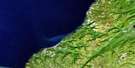
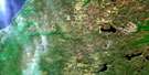
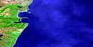
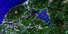
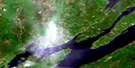
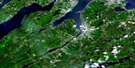
Cheticamp Satellite Image Map
Download Free Aerial Photo 011K11 at 1:50,000 scale
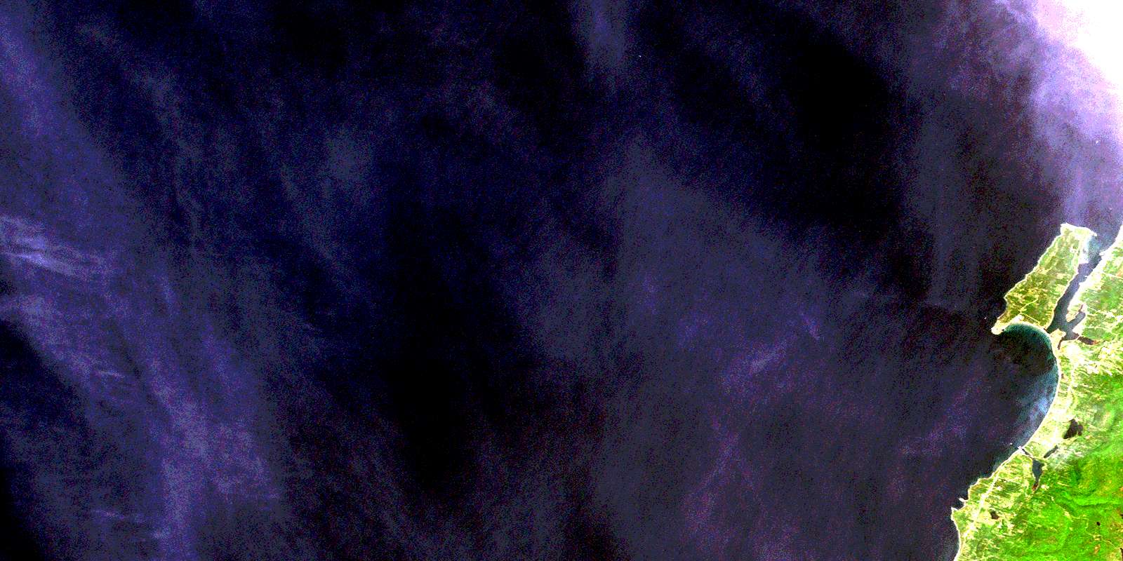
Cheticamp Satellite Imagery
To view this satellite map, mouse over the air photo on the right.
You can also download this satellite image map for free:
011K11 Cheticamp high-resolution satellite image map.
Maps for the Cheticamp aerial map sheet 011K11 at 1:50,000 scale are also available in these versions:
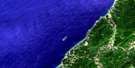
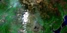
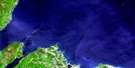
Cheticamp Surrounding Area Aerial Photo Maps
 |
 |
||
 |
 |
 |
|
 |
 |
 |
|
 |
 |
 |
 |
© Department of Natural Resources Canada. All rights reserved.
Cheticamp Gazetteer
The following places can be found on satellite image map 011K11 Cheticamp:
Cheticamp Satellite Image: Bays
Anse à Bois MeréAnse à Digue
Anse à Frédéric
Anse à Petit Homme
Anse des Abraham
Anse des Basile
Anse des Dosithée
Anse des Fribert
Anse des Philibert
Chéticamp Harbour
Golfe du Saint-Laurent
Grand Étang Harbour
Gulf of St. Lawrence
Redman Basin
Cheticamp Satellite Image: Beaches
Chéticamp BeachCheticamp Satellite Image: Capes
Cap Le MoineCap Le Moine
Caveau Point
Chéticamp Point
Enrage Cape
Enragée Point
Friar Point
Friars Head
Gros Cap
Grosse Tête
La Pointe
Le Platin
Les Caps
Pointe du Havre
Pointe Enragée
The Capes
Cheticamp Satellite Image: Geographical areas
InvernessJuste au Corps
Cheticamp Satellite Image: Islands
Cape Breton IslandChéticamp Island
Île du Cap-Breton
Cheticamp Satellite Image: Lakes
Angus LakeDosite Lake
Grand Etang
Grand Étang
Grand Lac
Lac des Dosithée
Pembroke Lake
Petit Lac
Point Cross Pond
Squirrel Pond (Grand Etang)
Cheticamp Satellite Image: Mountains
Squirrel MountainCheticamp Satellite Image: Major municipal/district area - major agglomerations
InvernessCheticamp Satellite Image: Rivers
Factory BrookFarm Brook
Fiset Brook
Fisset Brook
Grand Etang Brook
Grand Étang Brook
Pembroke Brook
Ruisseau de l'Île
Ruisseau des Basile
Ruisseau du Lac
Cheticamp Satellite Image: Shoals
Caveau ShoalsCheticamp Satellite Image: Unincorporated areas
Cap Le MoineCap Lemoyne
Chéticamp
Chéticamp Island
Friars Head
Grand Etang
Grand Étang
Grand-Etang
Grand-Étang
La Pointe
La-Pointe
Plateau
Point Cross
St. Joseph du Moine
St-Joseph-du-Moine
© Department of Natural Resources Canada. All rights reserved.
