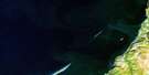
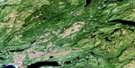
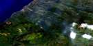
Little Friars Cove Satellite Image Map
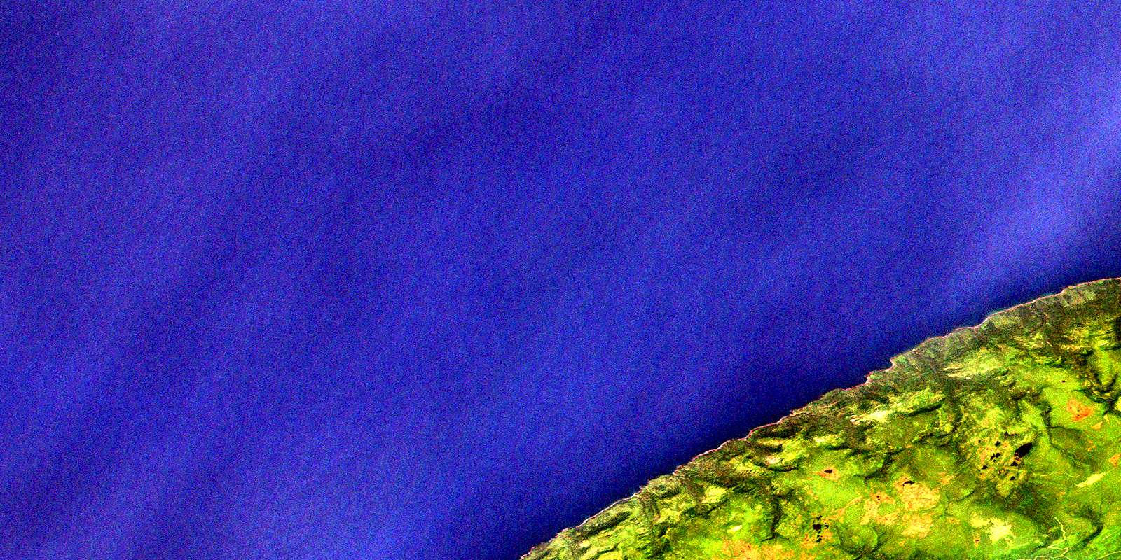
Download Free Aerial Photo 012B03 at 1:50,000 scale
Little Friars Cove Satellite Imagery
To view this satellite map, mouse over the air photo on the right.
You can also download this satellite image map for free:
012B03 Little Friars Cove high-resolution satellite image map.
Maps for the Little Friars Cove aerial map sheet 012B03 at 1:50,000 scale are also available in these versions:
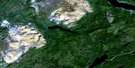
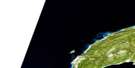
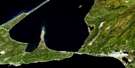
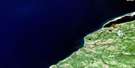
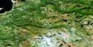
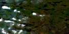
Little Friars Cove Surrounding Area Aerial Photo Maps
 |
 |
||
 |
 |
 |
|
 |
 |
 |
|
 |
 |
 |
© Department of Natural Resources Canada. All rights reserved.
Little Friars Cove Gazetteer
The following places can be found on satellite image map 012B03 Little Friars Cove:
Little Friars Cove Satellite Image: Bays
Golfe du Saint-LaurentGulf of St. Lawrence
Hynes Cove
Johnson's Cove
Little Friars Cove
Mary Ann's Cove
St. George's Bay
Wreck Cove
Little Friars Cove Satellite Image: Capes
Lewis PointLittle Friars Cove Satellite Image: Falls
The Spout FallsLittle Friars Cove Satellite Image: Mountains
Anguille MountainsCape Anguille Mountains
Little Friars Cove Satellite Image: Rivers
Big BrookLittle Friars Cove Satellite Image: Shoals
Gull's Nest RockOld Bone-em
Little Friars Cove Satellite Image: Valleys
Hynes GulchJohnson's Gulch
Lewis Gulch
Pauls Gulch
The Spout Gulch
© Department of Natural Resources Canada. All rights reserved.
