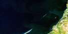
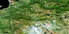
Dashwoods Pond Satellite Image Map
Download Free Aerial Photo 012B01 at 1:50,000 scale
Dashwoods Pond Satellite Imagery
To view this satellite map, mouse over the air photo on the right.
You can also download this satellite image map for free:
012B01 Dashwoods Pond high-resolution satellite image map.
Maps for the Dashwoods Pond aerial map sheet 012B01 at 1:50,000 scale are also available in these versions:
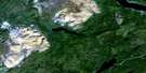
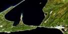
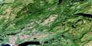
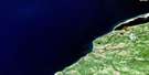
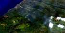
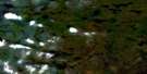
Dashwoods Pond Surrounding Area Aerial Photo Maps
 |
 |
||
 |
 |
 |
|
 |
 |
 |
|
 |
 |
 |
© Department of Natural Resources Canada. All rights reserved.
Dashwoods Pond Gazetteer
The following places can be found on satellite image map 012B01 Dashwoods Pond:
Dashwoods Pond Satellite Image: Lakes
Andre PondAndrews Pond
Big Otter Pond
Blue Hill Pond
Bunnys Pond
Butts Pond
Caribou Pond
Dashwoods Pond
Doanes Pond
Finger Pond
Fischells Pond
Jim Butts Pond
Jim Legges Pond
Kings Pond
Little Mica Pond
Mica Pond
Portage Lake
Prospectors Pond
Rocky Pond
Sandy Pond
Shop Gulch Pond
Three Island Pond
Whale Back Pond
Dashwoods Pond Satellite Image: Mountains
Blanchards HillBlue Hill
Bumbly Mountain
Little Rocky Ridge
Long Range Mountains
Sam Butts Hill
Teeters Hill
Dashwoods Pond Satellite Image: Conservation areas
The Grass Ecological ReserveDashwoods Pond Satellite Image: Rivers
Barachois BrookDeep Brook
Fischells Brook
Flat Bay Brook
La Poile River
Lloyds River
Mica Brook
Middle Barachois River
Morg Keepings Brook
Robinsons River
Dashwoods Pond Satellite Image: Low vegetation
The Grass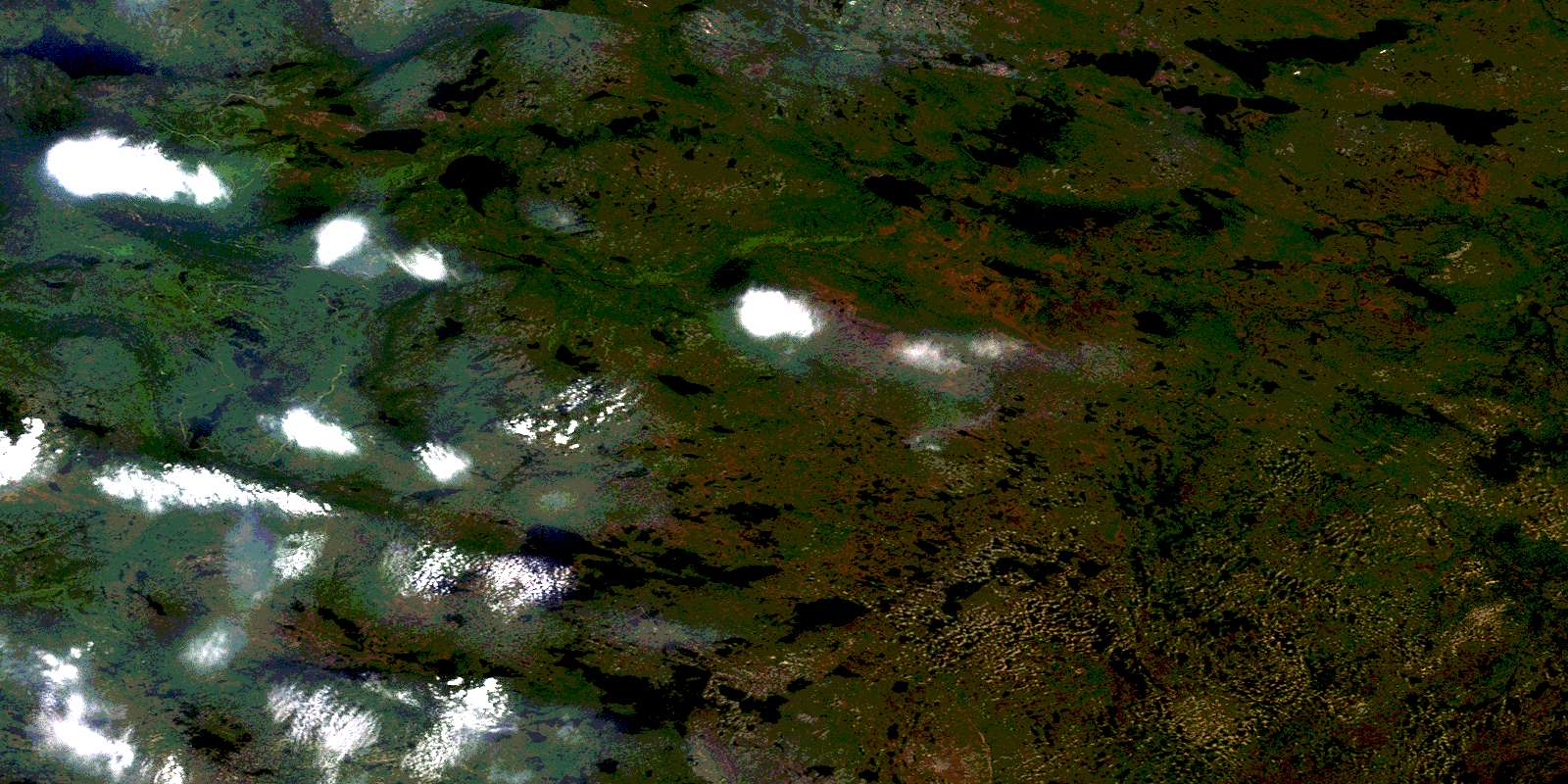
© Department of Natural Resources Canada. All rights reserved.
