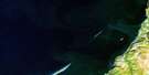
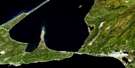
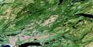
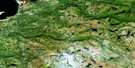
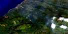
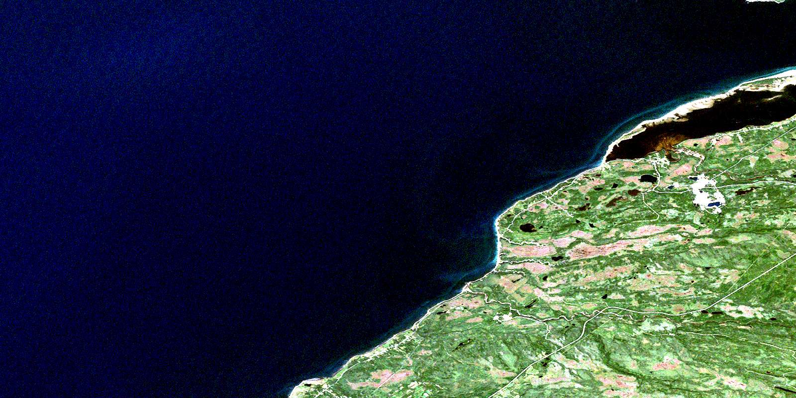
Flat Bay Satellite Image Map
Download Free Aerial Photo 012B07 at 1:50,000 scale
Flat Bay Satellite Imagery
To view this satellite map, mouse over the air photo on the right.
You can also download this satellite image map for free:
012B07 Flat Bay high-resolution satellite image map.
Maps for the Flat Bay aerial map sheet 012B07 at 1:50,000 scale are also available in these versions:
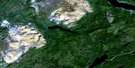
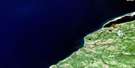
Flat Bay Surrounding Area Aerial Photo Maps
 |
 |
||
 |
 |
 |
|
 |
 |
 |
|
 |
 |
 |
© Department of Natural Resources Canada. All rights reserved.
Flat Bay Gazetteer
The following places can be found on satellite image map 012B07 Flat Bay:
Flat Bay Satellite Image: Bays
Bank Head CoveFlat Bay
Golfe du Saint-Laurent
Gulf of St. Lawrence
Muddy Hole
Rothesay Bay
Shallop Cove
St. George's Bay
Stinking Cove
Youngs Cove
Flat Bay Satellite Image: Capes
Bank HeadBerry Head
Indian Head
Jacotar Point
Long Point
Mistyglee Brook Point
Robinsons Head
Rocky Point
Shallop Point
Flat Bay Satellite Image: Islands
Flat IslandMoyac Island
Flat Bay Satellite Image: Lakes
Big Rushy PondFairy Pond
Flat Bay Pond
Journois Pond
Longbyes Pond
Noels Pond
Rocky Ponds
Round Pond
Rushy Pond
Sink Hole Pond
Uncle Joes Pond
Flat Bay Satellite Image: Conservation areas
Newfoundland T'Railway Provincial ParkFlat Bay Satellite Image: Rivers
Barry BrookChina Brook
Clam Brook
Dribble Brook
Fischells Brook
Fischells Dribble
Flat Bay Brook
Irishmans Brook
Journois Brook
Middle Brook
Mistyglee Brook
Plaster Brook
Rattling Brook
Red Brook
Seal Brook
Flat Bay Satellite Image: River features
Cobbs PoolRound Pool
Flat Bay Satellite Image: Towns
St. George'sFlat Bay Satellite Image: Unincorporated areas
Bay St. George SouthFischells
Flat Bay
Flat Bay West
Heatherton
Journois
Joyce
Robinsons
Robinson's Station
Sandy Point
Shallop Cove
St. Teresa
St. Teresa
© Department of Natural Resources Canada. All rights reserved.
