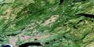
Stephenville Satellite Image Map
Download Free Aerial Photo 012B10 at 1:50,000 scale
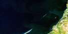
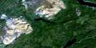
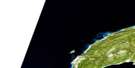
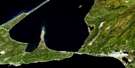
Stephenville Satellite Imagery
To view this satellite map, mouse over the air photo on the right.
You can also download this satellite image map for free:
012B10 Stephenville high-resolution satellite image map.
Maps for the Stephenville aerial map sheet 012B10 at 1:50,000 scale are also available in these versions:
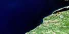
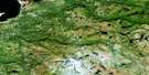
Stephenville Surrounding Area Aerial Photo Maps
 |
 |
||
 |
 |
 |
|
 |
 |
 |
|
 |
 |
 |
© Department of Natural Resources Canada. All rights reserved.
Stephenville Gazetteer
The following places can be found on satellite image map 012B10 Stephenville:
Stephenville Satellite Image: Bays
Abrahams CoveBellmans Cove
Bellman's Cove
Belmans Cove
Campbells Cove
Costa Bay
East Bay
East Road
Felix Cove
Fiods Cove
Golfe du Saint-Laurent
Gulf of St. Lawrence
Head Harbour
Isthmus Bay
Lead Cove
Piccadilly Bay
Port au Port Bay
Port Harmon
Rothesay Bay
Ship Cove
St. George's Bay
West Bay
West Road
Stephenville Satellite Image: Beaches
The BarStephenville Satellite Image: Capes
Black PointIndian Head
Port au Port Peninsula
Road Point
Rocky Point
Shoal Point
South Head
Stephenville Satellite Image: Islands
Fox IslandShip Island
Stephenville Satellite Image: Lakes
Cache PondGravels Pond
Gull Pond
Labrador Pond
Noels Pond
Stephenville Pond
Two Guts Pond
Stephenville Satellite Image: Mountains
Indian Head RangePierways Hill
Rabbit Hill
Table Mountain
Whale Back Ridge
Stephenville Satellite Image: Conservation areas
Piccadilly Head Provincial ParkPoint au Mal Provincial Park
Stephenville Satellite Image: Rivers
Black Duck BrookBlanche Brook
Cold Brook
Fox Island River
Gadons Brook
Harry Brook
Jack of Clubs Brook
Little River
Lourdes Brook
Phillips Brook
Rioux Brook
Romaines Brook
Smelt Brook
South Brook
Victor Brook
Victors Brook
Warm Brook
Warm Creek
Stephenville Satellite Image: Shoals
American BankGravels Bank
North Rock
Turning Basin
Stephenville Satellite Image: Towns
KippensLourdes
Port au Port East
Port au Port West-Aguathuna-Felix Cove
Stephenville
Stephenville Satellite Image: Unincorporated areas
Abrahams CoveAguathuna
Bellmans Cove
Black Duck Brook
Black Duck Brook-Winterhouse
Boswarlos
Campbells Creek
Cold Brook
Felix Cove
Fox Island River
Fox Island River-Point au Mal
Jerrys Nose
Kippensville
Man of War Cove
Noels Pond
Picadilly-Abrahams Cove
Piccadilly
Piccadilly Head
Piccadilly Slant
Piccadilly Slant-Abrahams Cove
Point au Mal
Port au Port
Romaines
Ship Cove
Ship Cove-Lower Cove
Ship Cove-Lower Cove-Jerry's Nose
Tea Cove
The Gravels
West Bay
West Bay
West Bay Centre
Winterhouse
Stephenville Satellite Image: Valleys
Cache ValleyStephenville Satellite Image: Villages
Berry Head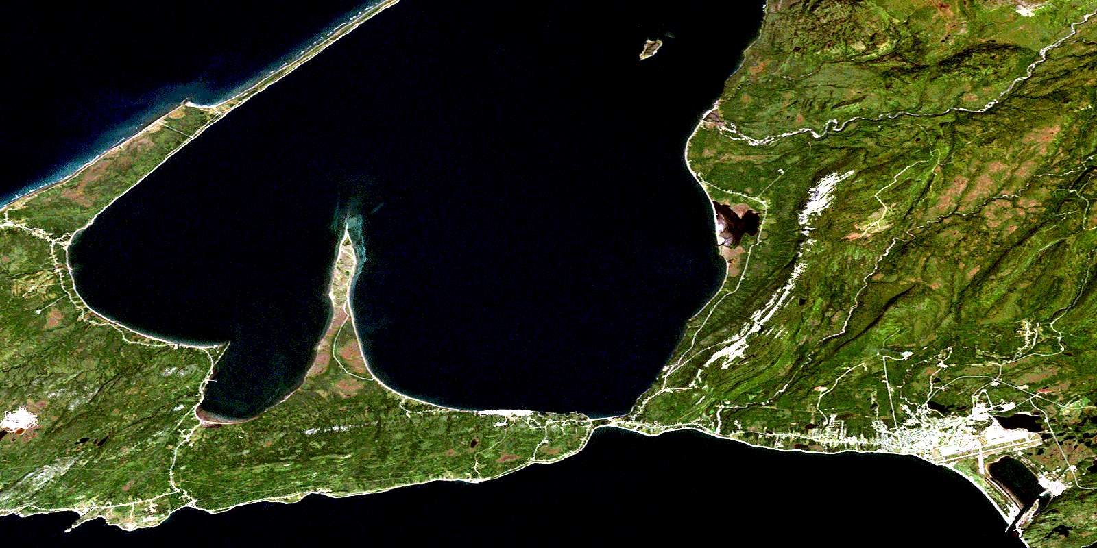
© Department of Natural Resources Canada. All rights reserved.
