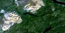
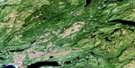
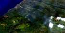
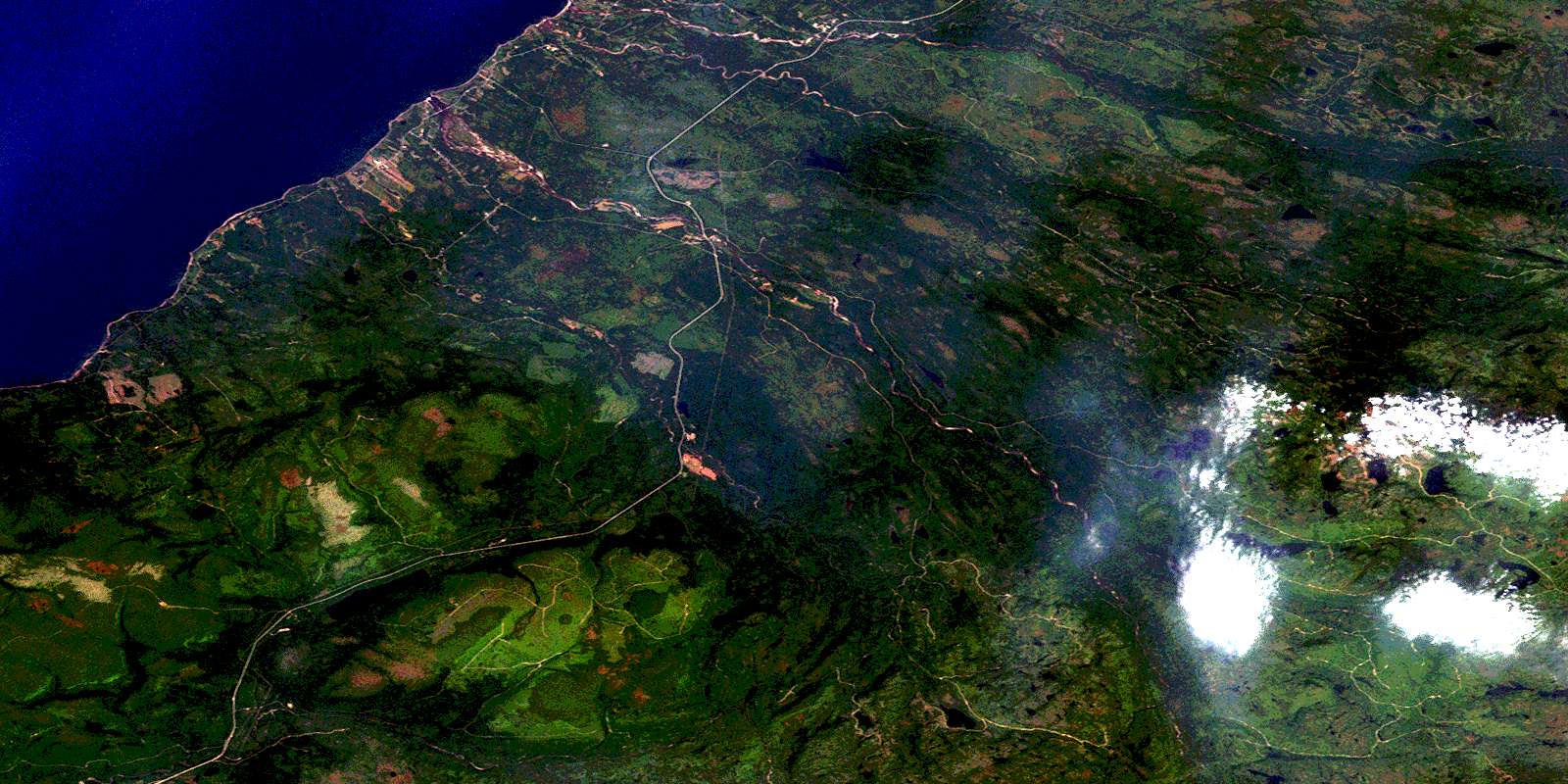
St Fintan's Satellite Image Map
Download Free Aerial Photo 012B02 at 1:50,000 scale
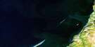
St Fintan's Satellite Imagery
To view this satellite map, mouse over the air photo on the right.
You can also download this satellite image map for free:
012B02 St Fintan's high-resolution satellite image map.
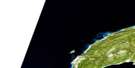
Maps for the St Fintan's aerial map sheet 012B02 at 1:50,000 scale are also available in these versions:
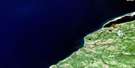
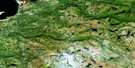
St Fintan's Surrounding Area Aerial Photo Maps
 |
 |
||
 |
 |
 |
|
 |
 |
 |
|
 |
 |
 |
© Department of Natural Resources Canada. All rights reserved.
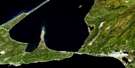
St Fintan's Gazetteer
The following places can be found on satellite image map 012B02 St Fintan's:
St Fintan's Satellite Image: Bays
Eel HoleGolfe du Saint-Laurent
Gulf of St. Lawrence
Plaster Cove
Ship Cove
St. George's Bay
St Fintan's Satellite Image: Capes
Bluff HeadCrabbes Head
Harbour Head
Pond Point
Shoal Point
St Fintan's Satellite Image: Cliffs
The HighlandsSt Fintan's Satellite Image: Lakes
Big Otter PondBill Shears Pond
Bluchers Pond
Bluff Head Pond
Codroy Pond
Hungry Grove Pond
Little Otter Pond
Loch Leven
Mitchells Pond
Morris Brook Pond
Ocean Pond
Ocean Pond
Shoal Point Pond
Taylors Pond
Tom Diamond Pond
Tom Evans Pond
Tuckers Pond
Two Diamonds Pond
St Fintan's Satellite Image: Mountains
Anguille MountainsBald Mountain
Crabbes Hill
Long Range Mountains
St Fintan's Satellite Image: Conservation areas
Crabbes River Provincial ParkNewfoundland T'Railway Provincial Park
St Fintan's Satellite Image: Rivers
Bald Mountain BrookBarachois Brook
Butter Brook
Crabbes Brook
Crabbes River
Crooked Brook
Fischells Dribble
French Brook
Highlands River
Little Brook
Little Crabbes Brook
Little Spout Brook
McLellans Brook
Middle Barachois River
Morris Brook
North Branch
North Branch
Northern Feeder
Rainy Brook
Rainy Brook East
Robinsons River
Ship Brook
Shoal Point Brook
St Fintan's Satellite Image: Shoals
Ship RockSt Fintan's Satellite Image: Unincorporated areas
Bay St. George SouthCartyville
Codroy Pond
Highlands
Jeffrey's
Loch Leven
Lockleven
Maidstone
McKay's
River Brook
Robinsons
Robinson's Station
St. David's
St. Fintan's
St Fintan's Satellite Image: Valleys
Pauls GulchThe Spout Gulch
© Department of Natural Resources Canada. All rights reserved.
