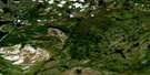
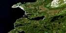
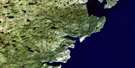
Cat Arm River Satellite Image Map
Download Free Aerial Photo 012I02 at 1:50,000 scale
Cat Arm River Satellite Imagery
To view this satellite map, mouse over the air photo on the right.
You can also download this satellite image map for free:
012I02 Cat Arm River high-resolution satellite image map.
Maps for the Cat Arm River aerial map sheet 012I02 at 1:50,000 scale are also available in these versions:
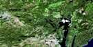
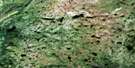
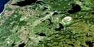
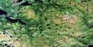
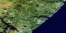
Cat Arm River Surrounding Area Aerial Photo Maps
 |
 |
 |
|
 |
 |
 |
|
 |
 |
 |
|
 |
 |
 |
 |
© Department of Natural Resources Canada. All rights reserved.
Cat Arm River Gazetteer
The following places can be found on satellite image map 012I02 Cat Arm River:
Cat Arm River Satellite Image: Bays
Camp CoveDeep Cove
Devil Cove
Great Cat Arm
Little Cat Arm
Little Harbour Deep
Outer Cove
Pumbly Cove
The Bottom
White Bay
Cat Arm River Satellite Image: Beaches
Wild BeachCat Arm River Satellite Image: Capes
Big HeadBirchy Head
Eastern Head
Grandfather Head
Little Harbour Deep Head
Net Point
Northern Peninsula
Sandy Point
Shoal Point
Stump Point
Wedge Point
Western Head
White Point
Cat Arm River Satellite Image: Mountains
Long Range MountainsCat Arm River Satellite Image: Rivers
Cat Arm RiverLittle Harbour Deep River
Cat Arm River Satellite Image: Shoals
Grandfather RockThe Middle Ground
Cat Arm River Satellite Image: Unincorporated areas
Little Harbour Deep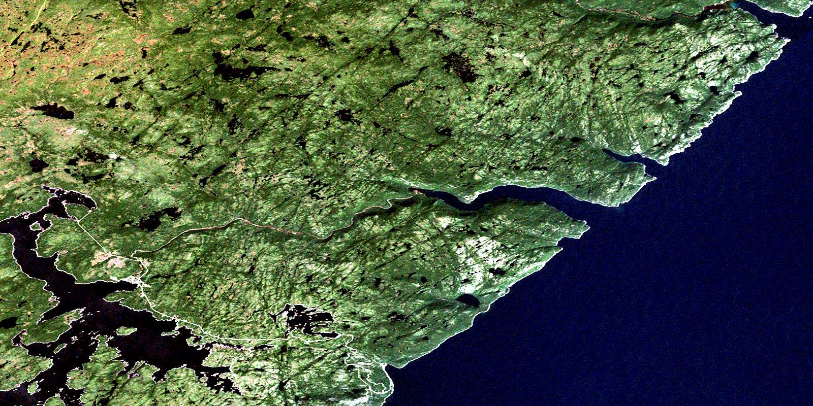
© Department of Natural Resources Canada. All rights reserved.
