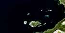
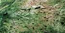
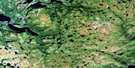
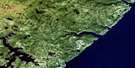
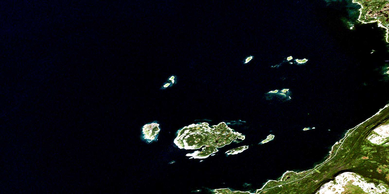
St John Island Satellite Image Map
Download Free Aerial Photo 012I14 at 1:50,000 scale
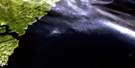
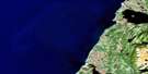
St John Island Satellite Imagery
To view this satellite map, mouse over the air photo on the right.
You can also download this satellite image map for free:
012I14 St John Island high-resolution satellite image map.
Maps for the St John Island aerial map sheet 012I14 at 1:50,000 scale are also available in these versions:
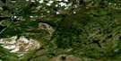
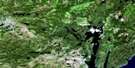
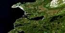
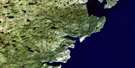
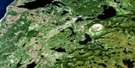
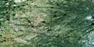
St John Island Surrounding Area Aerial Photo Maps
 |
 |
 |
|
 |
 |
 |
|
 |
 |
 |
|
 |
 |
 |
 |
© Department of Natural Resources Canada. All rights reserved.
St John Island Gazetteer
The following places can be found on satellite image map 012I14 St John Island:
St John Island Satellite Image: Bays
Bad HarbourBarred Bay
Bustard Cove
Golfe du Saint-Laurent
Good Bay
Gulf of St. Lawrence
Maldigues Bay
Miot Cove
Oakbark Cove
Old Man Cove
Round Head Cove
Sesostris Bay
Shorts Harbour
South Cove
St. John Bay
St. John Harbour
The Haven
The Haven
Turret Bay
Well Bay
St John Island Satellite Image: Capes
Bare PointChasseur Point
English Point
Fish Point
Flat Point
Fossil Point
Horn Spit
Hunters Point
Long Point
Menhir Point
Northern Peninsula
Oakbark Point
Photograph Point
Pigasses Point
Round Head
Round Head Point
Stormy Point
Turret Point
Well Point
St John Island Satellite Image: Islands
Black IslandCastor Point Island
Dolman Island
Flat Island
Fox Islands
Green Island
Hare Island
Horn Island
James Island
Round Head Island
Sheep Island
St. John Island
Turr Islands
Twin Islands
Whale Islands
White Island
Young Whale Island
St John Island Satellite Image: Mountains
Highlands of St. JohnLong Range Mountains
North Summit
South Summit
St John Island Satellite Image: Rivers
Doctors BrookFrenchman's Brook
Greta Brook
St John Island Satellite Image: Shoals
Bayot ShoalBreton Reef
Cloué Shoal
Coombe Rock
Coral Bank
Cornish Patch
Ellinor Shoals
Evangeline Rock
Falaise Shoal
Fossil Shoal
Freycinet Shoal
Fullerton Bank
Garbett Shoal
Gibson Shoal
Hinman Shoal
Home Shoal
McDonald Shoal
Old Boy Shoals
Old Man Shoal
O'Rourke Shoal
Oursin Shoal
Passage Shoals
Reculoux Shoal
Round Head Rock
Round Head Shoal
Rupert Jones Shoal
Seal Rocks
Square Rock
Tail of the Wolf
Testu Bank
The Calculus Rock
The Fox
The Menhir
The Watchman
Turret Rocks
Wolf Rock
St John Island Satellite Image: Unincorporated areas
Barr'd HarbourEddies Cove West
Eddird Cove West
St. John Island
© Department of Natural Resources Canada. All rights reserved.
