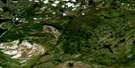
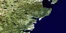
Torrent River Satellite Image Map
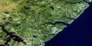
Download Free Aerial Photo 012I10 at 1:50,000 scale
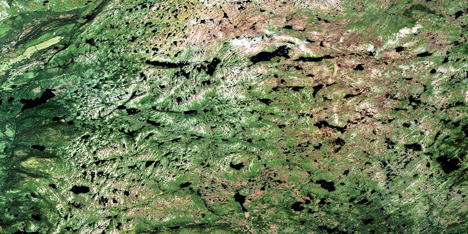
Torrent River Satellite Imagery
To view this satellite map, mouse over the air photo on the right.
You can also download this satellite image map for free:
012I10 Torrent River high-resolution satellite image map.
Maps for the Torrent River aerial map sheet 012I10 at 1:50,000 scale are also available in these versions:
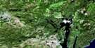
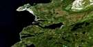
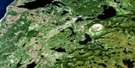
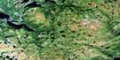
Torrent River Surrounding Area Aerial Photo Maps
 |
 |
 |
|
 |
 |
 |
|
 |
 |
 |
|
 |
 |
 |
 |
© Department of Natural Resources Canada. All rights reserved.
Torrent River Gazetteer
The following places can be found on satellite image map 012I10 Torrent River:
Torrent River Satellite Image: Bays
The West BayTorrent River Satellite Image: Capes
Baines HeadGravel Head
Northern Peninsula
Torrent River Satellite Image: Forests
Green Diamond SkirtNorth East Woods
Pelleys Skirt
The Sail
Torrent River Satellite Image: Lakes
Air Force PondBasin Pond
Black Stag Pond
Brents Pond
Candy Pond
Caterpillar Pond
Chambers Pond
Everetts Pond
Five Hills Pond
Five Mile Pond
Flat Hill Pond
Harrys Pond
Indian Steady
Island Pond
Lady Worcester Pond
Long Pond
Lucky Strike Pond
Mountain Pond
Muddy Springs
Otter Pond
Pelleys Skirt Pond
Pikes Feeder Pond
Pikeys Feeder
Rays Pond
Red Rod Feeder
Red Sea Pond
Rocky Stint
Roddickton Lakes
Rumbolts Pond
Slug Pond
Trokes Pond
Whit Pilgrims Pond
Wilsons Pond
Woody Hill Pond
Torrent River Satellite Image: Mountains
American ManDevils Lookout
Five Mile Hill
Highlands of St. John
Long Range Mountains
Lucky Strike
Mount Hogan
Suttons Roost
The Five Hills
The Sisters
Woody Hill
Torrent River Satellite Image: Rivers
Cloud RiverEast River
Lady Worcester Brook
Lucky Strike Brook
Middle Gulch
Soufflets River
Torrent River
Torrent River Satellite Image: Valleys
Killdevil GulchThe Gap
Torrent River Satellite Image: Low vegetation
Lady Worcester BarrensWolf Barren
© Department of Natural Resources Canada. All rights reserved.
