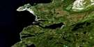
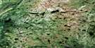
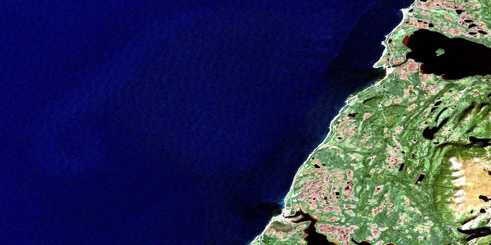
Portland Creek Satellite Image Map
Download Free Aerial Photo 012I04 at 1:50,000 scale
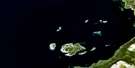
Portland Creek Satellite Imagery
To view this satellite map, mouse over the air photo on the right.
You can also download this satellite image map for free:
012I04 Portland Creek high-resolution satellite image map.
Maps for the Portland Creek aerial map sheet 012I04 at 1:50,000 scale are also available in these versions:
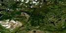
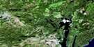
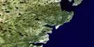
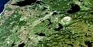
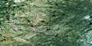
Portland Creek Surrounding Area Aerial Photo Maps
 |
 |
 |
|
 |
 |
 |
|
 |
 |
 |
|
 |
 |
 |
 |
© Department of Natural Resources Canada. All rights reserved.
Portland Creek Gazetteer
The following places can be found on satellite image map 012I04 Portland Creek:
Portland Creek Satellite Image: Bays
Daniel's CoveGolfe du Saint-Laurent
Gulf of St. Lawrence
Portland Cove
Sandy Bay
Portland Creek Satellite Image: Capes
Cliffy PointEastern Head
Northern Peninsula
The Arches
Portland Creek Satellite Image: Lakes
Moulting PondParsons Pond
Portland Creek Pond
Portland Creek Satellite Image: Mountains
Long Range MountainsPortland Hill
West Hill
Portland Creek Satellite Image: Conservation areas
Arches Provincial ParkPortland Creek Satellite Image: Rivers
Bowing BrookEast Brook
Greavett Brook
Parsons Pond River
Portland Creek
Portland Creek Satellite Image: Shoals
Brown ShoalPortland Creek Satellite Image: Towns
Daniel's HarbourParson's Pond
Portland Creek Satellite Image: Unincorporated areas
Portland CreekThree Mile Rock
© Department of Natural Resources Canada. All rights reserved.
