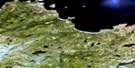
Tinker Harbour Satellite Image Map
Download Free Aerial Photo 013I04 at 1:50,000 scale
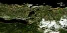
Tinker Harbour Satellite Imagery
To view this satellite map, mouse over the air photo on the right.
You can also download this satellite image map for free:
013I04 Tinker Harbour high-resolution satellite image map.
Maps for the Tinker Harbour aerial map sheet 013I04 at 1:50,000 scale are also available in these versions:
Tinker Harbour Surrounding Area Aerial Photo Maps
 |
|||
 |
 |
||
 |
 |
 |
|
 |
 |
© Department of Natural Resources Canada. All rights reserved.
Tinker Harbour Gazetteer
The following places can be found on satellite image map 013I04 Tinker Harbour:
Tinker Harbour Satellite Image: Bays
Broomfields BightConnock Cove
Deep Cove
Flatwater Cove
Groswater Bay
Hamilton Inlet
Sandy Cove
Snook Cove
The Backway
Tinker Harbour
Uncle Neds Old Place
Tinker Harbour Satellite Image: Beaches
Clay BanksTinker Harbour Satellite Image: Capes
Cranford HeadFlatwater Point
Jack Point
Kellick Point
Little Head
Long Point
Snook Point
Stag Island Point
Susies Head
Tinker Harbour Satellite Image: Islands
Frenchmans IslandGoose Island
Green Island
Indian Islands
Marys Island
Stag Island
Woody Island
Tinker Harbour Satellite Image: Lakes
Stag PondSuzy Lake
Tinker Harbour Satellite Image: Mountains
Big HillTinker Harbour Satellite Image: Rivers
Backway RiverFlatwater Brook
Main Brook
Main River
Mild Brook
Partridge Brook
River Sticks
Tinker Harbour Satellite Image: Low vegetation
Main River Barrens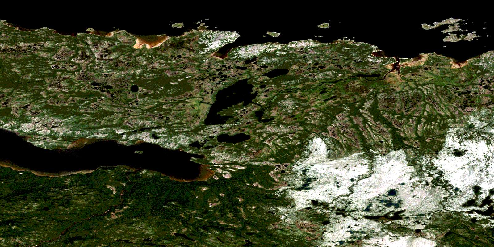
© Department of Natural Resources Canada. All rights reserved.
013I Related Maps:
013I Groswater Bay013I03E West Bay
013I03W West Bay
013I04E Tinker Harbour
013I04W Tinker Harbour
013I05E Pottles Bay
013I05W Pottles Bay
013I06E Indian Harbour
013I06W Indian Harbour
013I07W White Bear Island
013I11E Holton Harbour
013I11W Holton Harbour
013I12E Byron Bay
013I12W Byron Bay
013I13W Cape Harrison
