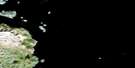
Kelpy Island Satellite Image Map
Download Free Aerial Photo 014F06 at 1:50,000 scale
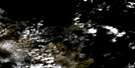
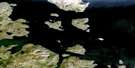
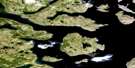
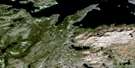
Kelpy Island Satellite Imagery
To view this satellite map, mouse over the air photo on the right.
You can also download this satellite image map for free:
014F06 Kelpy Island high-resolution satellite image map.
Maps for the Kelpy Island aerial map sheet 014F06 at 1:50,000 scale are also available in these versions:
Kelpy Island Surrounding Area Aerial Photo Maps
 |
|||
 |
 |
||
 |
 |
||
 |
 |
© Department of Natural Resources Canada. All rights reserved.
Kelpy Island Gazetteer
The following places can be found on satellite image map 014F06 Kelpy Island:
Kelpy Island Satellite Image: Bays
Lady Bight HarbourKelpy Island Satellite Image: Islands
Big Rookery IslandBlow Hard Island
Fish Island
Hector Island
Hubbard Island
Kelpy Island
Khikkertarsoak South Island
Kikiktaksoak Island
Kikkertarjote Island
Little Rookery Island
Morse Islands
Okak Islands
Opingiviksuak Island
Pigeon Island
Tunnit Islet
Verys Island
Vorys Island
Kelpy Island Satellite Image: Seas
Labrador Sea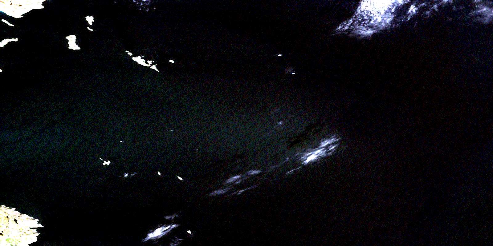
© Department of Natural Resources Canada. All rights reserved.
