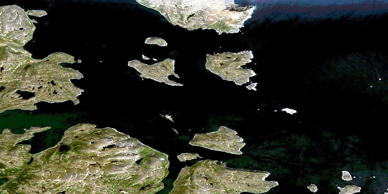
Okak Harbour Satellite Image Map
Download Free Aerial Photo 014F12 at 1:50,000 scale
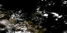
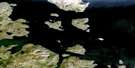
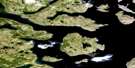
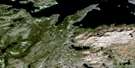
Okak Harbour Satellite Imagery
To view this satellite map, mouse over the air photo on the right.
You can also download this satellite image map for free:
014F12 Okak Harbour high-resolution satellite image map.
Maps for the Okak Harbour aerial map sheet 014F12 at 1:50,000 scale are also available in these versions:
Okak Harbour Surrounding Area Aerial Photo Maps
 |
|||
 |
 |
||
 |
 |
||
 |
 |
© Department of Natural Resources Canada. All rights reserved.
Okak Harbour Gazetteer
The following places can be found on satellite image map 014F12 Okak Harbour:
Okak Harbour Satellite Image: Bays
Clarke InletGalley Harbour
Green Cove
Green Island Harbour
Kivalek Cove
Moss Harbour
Nauyasiorvik Bay
Nungorut Cove
Okak Harbour
Slam Bang Bay
Tessiujarsuk Cove
Uyagaksuyulik Bay
Okak Harbour Satellite Image: Capes
Crosby PointIngikanikuluk Point
Newaktanna Point
Oghanek Cape
Sungilik Point
Tikkagolak Point
Tikkagolik Point
Uibarsuk Point
Uibvak Point
Uivarsuk Point
Okak Harbour Satellite Image: Channels
Moores Island TickleShark Tickle
Okak Harbour Satellite Image: Islands
Brazen IslandBrierly Island
Cod Island
Coffin Island
Coopers Island
Erdmann Island
Green Island
Igloksoaktalik North Island
Kaiktuinak Island
Khikkertarsoak North Island
Khikkertarsoak South Island
Khikkertaujak Island
Kikkertarjote Island
Kingnektut Islands
Lehman Island
Moores Island
Okak Islands
Opingivik Island
Parkavik Island
Shark Island
Udiarsuk Island
Okak Harbour Satellite Image: Mountains
Inuksulukak HillKaumajet Mountains
Table Hill
Tigerschmitt Hill
Okak Harbour Satellite Image: Unincorporated areas
Moores HarbourOkak
© Department of Natural Resources Canada. All rights reserved.
