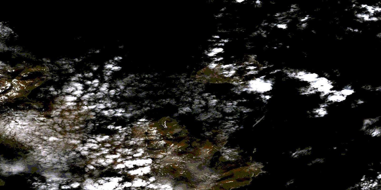
Mugford Harbour Satellite Image Map
Download Free Aerial Photo 014F13 at 1:50,000 scale
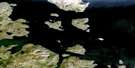
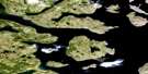
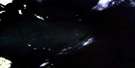
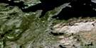
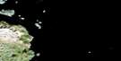
Mugford Harbour Satellite Imagery
To view this satellite map, mouse over the air photo on the right.
You can also download this satellite image map for free:
014F13 Mugford Harbour high-resolution satellite image map.
Maps for the Mugford Harbour aerial map sheet 014F13 at 1:50,000 scale are also available in these versions:
Mugford Harbour Surrounding Area Aerial Photo Maps
 |
|||
 |
 |
||
 |
 |
||
 |
 |
© Department of Natural Resources Canada. All rights reserved.
Mugford Harbour Gazetteer
The following places can be found on satellite image map 014F13 Mugford Harbour:
Mugford Harbour Satellite Image: Bays
Anchorstock BightAnordlujuitok Cove
Can Cove
Clarke Inlet
Creek Bight
Moss Harbour
Mugford Bay
Mugford Harbour
Seal Bight
Taylor Inlet
Turners Bight
Mugford Harbour Satellite Image: Capes
Cape MugfordEskimo Point
Grimmington Island
Handle of the Sug
White Point
White Point
Mugford Harbour Satellite Image: Channels
Ikkerasak StraitMugford Tickle
Mugford Harbour Satellite Image: Islands
Brughardt IslandsBurghardt Islands
Cod Island
Little Nanuktut Island
Nanuktut Islands
White Bear Island
Mugford Harbour Satellite Image: Mountains
Bishops MitreKaumajet Mountains
© Department of Natural Resources Canada. All rights reserved.
