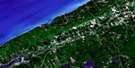
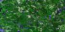
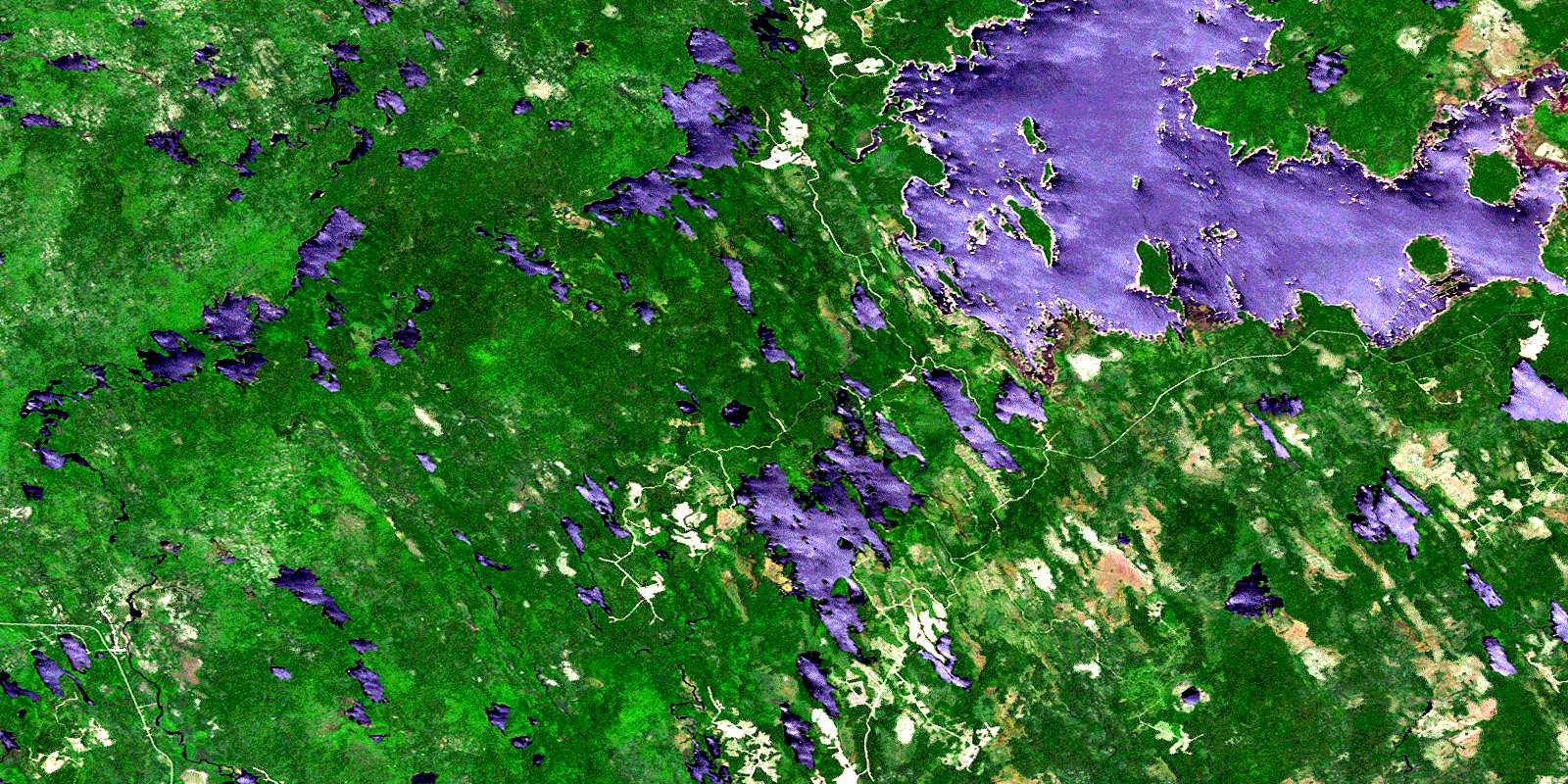
Lake Rossignol Satellite Image Map
Download Free Aerial Photo 021A03 at 1:50,000 scale
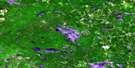
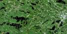
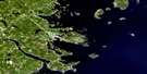
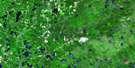
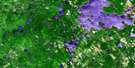
Lake Rossignol Satellite Imagery
To view this satellite map, mouse over the air photo on the right.
You can also download this satellite image map for free:
021A03 Lake Rossignol high-resolution satellite image map.
Maps for the Lake Rossignol aerial map sheet 021A03 at 1:50,000 scale are also available in these versions:
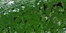
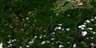
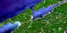
Lake Rossignol Surrounding Area Aerial Photo Maps
 |
 |
 |
 |
 |
 |
 |
 |
 |
 |
 |
 |
 |
 |
 |
 |
© Department of Natural Resources Canada. All rights reserved.
Lake Rossignol Gazetteer
The following places can be found on satellite image map 021A03 Lake Rossignol:
Lake Rossignol Satellite Image: Bays
Alick BayCoade Bay
Cowie Bay
East Bay
East Brook Bay
Fifth Lake Bay
Gaspar Bay
Kempton Bay
Long Bay
Matt Cove
Northeast Bay
Pug Cove
Southeast Arm
Southwest Arm
Yeadon Bay
Lake Rossignol Satellite Image: Capes
Burnt PointMoose Point
Pitman Point
Lake Rossignol Satellite Image: Channels
Narrows of RosewayPitman Narrows
The Sluice
Lake Rossignol Satellite Image: Falls
Horse FallsMountain Falls
Scotland Falls
Upset Falls
Lake Rossignol Satellite Image: Geographical areas
DigbyQueens
Shelburne
Yarmouth
Lake Rossignol Satellite Image: Islands
Devils IslandGrayhorse Island
Hardwood Island
Long Island
Moosehead Island
Lake Rossignol Satellite Image: Lakes
Aspect LakeBabs Lake
Back Lake
Bald Mountain Lake
Beartrack Lake
Berry Lake
Big Round Lake
Bingay Lakes
Black Duck Lake
Black Lake
Black-duck Lake
Blue Hill Mud Lake
Bluffhill Lake
Boot Lake
Bower Lake
Bowers Lake
Bowers Pond
Branch Lake
Broad River Lake
Broadriver Lake
Brophy Lake
Bullrush Lake
Caduesky Lake
Clamshell Lake
Coade Lake
Conway Lake
Crain Lake
Cranberry Lake
DeMoliter Lake
Dog Lake
Dr. Churchills Hole
Duck Ponds
East Bingay Lake
East Horseshoe Lake
Eighth Lake
First Beaver Lake
First Lake
First Lake
First Lake
First Round Lake
George Lake
Grandy Lake
Grass Lake
Great Pine Lake
Halfmoon Lake
Handsled Lake
Harlow Lake
Hodgson Lake
House Lake
Hugh Lake
Joe Flogger Pond
John Lake
John Lake
Jordan Lake
Junction Lake
Kempton Lake
Lake John
Lake Rossignol
Little Dispatch Lake
Little Pine Lake
Little Pug Lake
Little Rocky Lake
Little Silver Lake
Little Stony Lake
Little Tobeatic Lake
Little Tobeatik Lake
Little Tupper Lake
Little Whetstone Lake
Long Lake
Long Lake
Longview Lake
Lost Lake
Lower Branch Lake
Lower Porcupine Lake
Lower Stave Lake
Maclean Lake
Martin Lake
McAfee Lake
McGill Lake
Mink Lake
Moose Lake
Mullins Lake
Newmoon Lake
North Bingay Lake
Northeast Lake
Oscar Lake
Pug Lake
Pug Lake
Quinlan Lake
Quinlan Pond
Randy Lake
Ring Lakes
Rocky Pond
Roseway Lake
Rotund Lake
Round Lake
Rush Lake
Russia Lake
Sand Lake
Sand Ponds
Second Beaver Lake
Second Lake
Second Lake
Second Lake
Silver Lake
Silvery Lake
Siskech Lake
Sixth Lake
Skudiak Lake
Smith Lake
South Bingay Lake
Southwest Lake
Spectacle Lake
Swallow Lake
Three River Lake
Tobeatic Flowage
Tobeatic Lake
Tobeatik Lake
Trap Lake
Twin Lakes
Upper Branch Lake
Upper Porcupine Lake
Upper Stave Lake
Wainwright Lake
Wallace Lake
West Bingay Lake
West Horseshoe Lake
Whetstone Lake
Whitecap Lake
Lake Rossignol Satellite Image: Mountains
Bald MountainCrain Lake Mountain
Hackmatack Mountain
Harlow Hill
Indian Lookoff
McCoys Ridge
North Blue Hill
Owls Hill
Porcupine Hill
Rough Mountain
Lake Rossignol Satellite Image: Major municipal/district area - major agglomerations
ArgyleDigby
Queens
Shelburne
Lake Rossignol Satellite Image: Conservation areas
Tobeatic Wildlife Management AreaLake Rossignol Satellite Image: Rapids
Pollock RapidsStarvation Eddy
Lake Rossignol Satellite Image: Rivers
Anderson BrookBeaver Creek
Bennys Run
Blue Hill Brook
Bluehill Brook
Boot Lake Brook
Broad River
Caduesky Brook
Cat Creek
Coade Brook
Conway Brook
Cranberry Lake Brook
Dog Brook
Dog Lake Brook
Drawknife Run
Eight Mile Brook
Eightmile Brook
Granite Run
Handsled Lake Brook
Harlow Brook
House Lake Brook
Jacks Savannah Brook
Jordan River
Kempton Brook
Krautknife Brook
Logging Creek
Louis Brook
Martin Brook
Mersey River
Molasses Run
North Bald Mountain Brook
Oscar Lake Brook
Owlhill Brook
Owls Hill Brook
Porcupine Brook
Prince John Brook
Quinlan Creek
Roseway River
Run of Jordan
Runoff of Jordan
Russia Lake Brook
Sable River
Sand Brook
Savannah Brook
Scotland Creek
Shelburne River
Sixth Lake Brook
Sixth-lake Brook
South Bald Mountain Brook
Stoney Brook
Stony Brook
Sunken Brook
Thousand Acre Bog Brook
Tidney River
Tigney River
Wainwright Brook
Wallace Lake Brook
West Branch Jordan River
West Brook
West Jordan River
West Roseway Brook
Whetstone Mountain Brook
Lake Rossignol Satellite Image: River features
Hemlock PotholeJones Hole
Ottoman Stillwater
Sheepfarm Stillwater
Lake Rossignol Satellite Image: Unincorporated areas
Indian GardensLake Rossignol Satellite Image: Low vegetation
Clear BogDunraven Bog
Halfmoon Plains
Indian Fields
Minard Bog
Payzant Meadows
Thousand Acre Bog
© Department of Natural Resources Canada. All rights reserved.
021A Related Maps:
021A Annapolis Royal021A01 Lahave Islands
021A02 Liverpool
021A03 Lake Rossignol
021A04 Wentworth Lake
021A05 Weymouth
021A06 Kejimkujik Lake
021A07 Bridgewater
021A08 Lunenburg
021A09 Chester
021A10 New Germany
021A11 Milford
021A12 Digby
021A13 Granville Ferry
021A14 Bridgetown
021A15 Gaspereau Lake
021A16 Windsor
