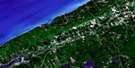
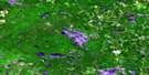
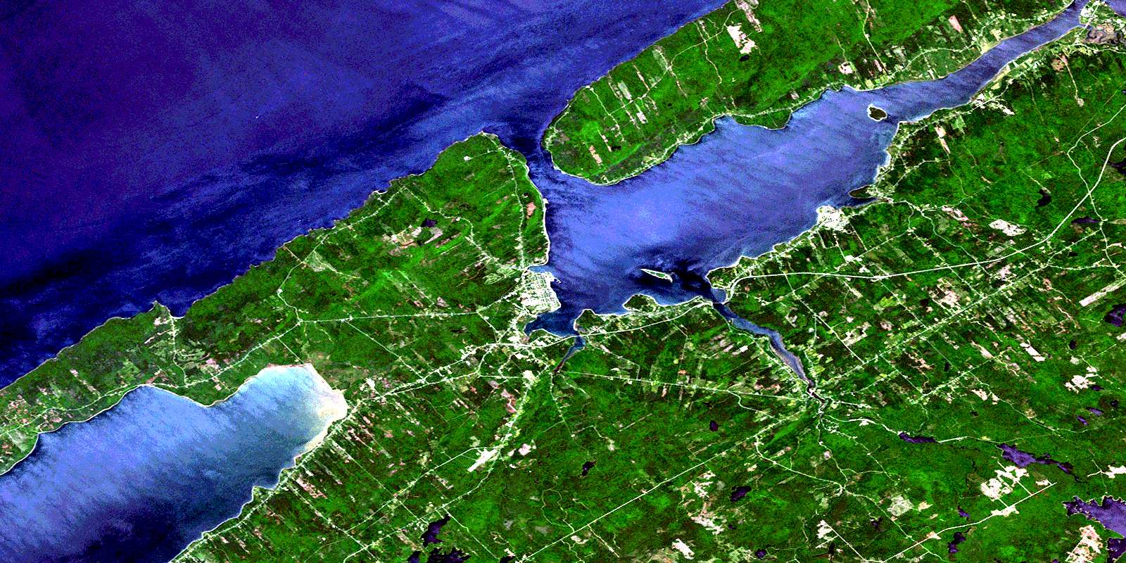
Digby Satellite Image Map
Download Free Aerial Photo 021A12 at 1:50,000 scale
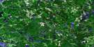
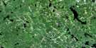
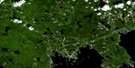
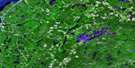
Digby Satellite Imagery
To view this satellite map, mouse over the air photo on the right.
You can also download this satellite image map for free:
021A12 Digby high-resolution satellite image map.
Maps for the Digby aerial map sheet 021A12 at 1:50,000 scale are also available in these versions:
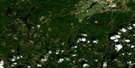
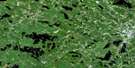
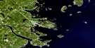
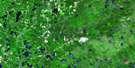
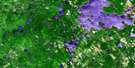
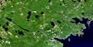
Digby Surrounding Area Aerial Photo Maps
 |
 |
 |
 |
 |
 |
 |
 |
 |
 |
 |
 |
 |
 |
 |
 |
© Department of Natural Resources Canada. All rights reserved.
Digby Gazetteer
The following places can be found on satellite image map 021A12 Digby:
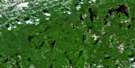
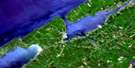
Digby Satellite Image: Bays
Adams CoveAnnapolis Basin
Awkward Cove
Baie de Fundy
Balcoms Cove
Bay of Fundy
Big Joggins
Blockhouse Cove
Broad Cove
Caldwells Cove
Culloden Cove
Dark Cove
Deep Cove
Gooseberry Cove
Grays Cove
Griffin Cove
Gulliver Cove
Gullivers Cove
Haights Cove
House Cliff Cove
Johnson Cove
Little Joggins
Lower Shelburne Cove
Mill Cove
Mill Cove
Murphy Cove
Rogers Cove
Smiths Cove
Specht Cove
Spechts Cove
St. Mary Bay
St. Marys Bay
St. Mary's Bay
The Joggins
The Raquette
Thorne Cove
Thornes Cove
Tidds Cove
Upper Shelburne Cove
Digby Satellite Image: Beaches
Indian BeachRattling Beach
Stoney Beach
Digby Satellite Image: Capes
Battery PointBlack Point
Burns Point
Condons Point
Digby Neck
Fleet Brook Head
Green Point
Green Point
Gulliver Point
Gullivers Head
Marsh Point
McWhinnies Point
Mill Cove Point
Oak Point
Pinkneys Point
Point Prim
Pollys Point
Prim Point
Red Head
Robinsons Point
Roop Point
Schafner Point
Schafners Point
Shaws Point
Theriaults Point
Tommys Point
Winchester Point
Digby Satellite Image: Channels
Deepwater ChannelDigby Gut
Digby Satellite Image: Cliffs
Red BluffShag Cliffs
The Seawall
Digby Satellite Image: Geographical areas
AnnapolisDigby
Digby Satellite Image: Indian Reserves
Bear River 6Digby Satellite Image: Islands
Bear IslandGoat Island
Digby Satellite Image: Lakes
Barnes LakeBeeler Lake
Beelers Lake
Big Stillwater Lake
Bogart Lake
Cady Lake
Charlotte Lake
Ellison Lake
Fed Lake
Fleet Lake
Fred Lake
Grand Lake Flowage
Haines Lake
Harris Lake
Hill Lake
Lac Le Marchant
Lake Cady
Lake Mulgrave
Loud Lake
Lower Beaver Lake
Mallette Lake
Mill Lake
Mistake Lake
Mulgrave Lake
O'Brien Lake
Porters Lake
Porter's Lake
Potter Lake
Range Corner Lake
Range-corner Lake
Salt Pond
Simpson Lake
Skull Lake
Smalls Lake
Upper Beaver Lake
Upper Lake
Van Tassel Lake
Worcester Lake
Digby Satellite Image: Military areas
Base des Forces canadiennes GreenwoodCanadian Forces Base Greenwood
Champ de tir et champ de manoeuvre Granville Ferry
Granville Ferry Range and Training Area
Digby Satellite Image: Mountains
Beamans MountainHendersons Mountain
Johnson Hill
Lynchs Mountain
North Mountain
North Mountain Range
Post Mountain
Seawall Hill
Digby Satellite Image: Major municipal/district area - major agglomerations
AnnapolisDigby
Digby Satellite Image: Conservation areas
Annapolis Basin Look Off Provincial ParkCharles Fort National Historic Site of Canada
Fort Anne National Historic Site of Canada
Lieu historique national du Canada de l'Établissement-Melanson
Lieu historique national du Canada de Port-Royal
Lieu historique national du Canada du Fort-Anne
Lieu historique national du Canada du Fort-Charles
Lieu historique national du Canada du Fort-Scots
Melanson Settlement National Historic Site of Canada
Port-Royal National Historic Site of Canada
Savary Provincial Park
Scots Fort National Historic Site of Canada
Smiths Cove Look Off Provincial Park
Upper Clements Game Sanctuary
Upper Clements Provincial Park
Digby Satellite Image: Rapids
Turner EddyTurners Eddy
Digby Satellite Image: Rivers
Acacia BrookAcacia Brook
Acacia Valley Brook
Allain River
Allains Creek
Allains River
Annapolis River
Bacon Brook
Balcolm Brook
Bear River
Berry Brook
Bingay Brook
Bingays Brook
Bogart Brook
Bogart Brook
Bohaker Brook
Bohaker Brook
Boudreau Brook
Boyce Brook
Budd Brook
Budds Brook
Burke Brook
Campbell Brook
Charlies Brook
Chisholm Brook
Clarke Brook
Cossaboom Brook
Croscup Brook
Deep Brook
Ditmars Brook
Dixon Brook
Dunbar Brook
East Moose River
Elmtree Brook
Fleet Brook
Franklin Brook
Franklin River
Griffin Brook
Haight Brook
Handspiker Brook
Harris Brook
Harris Meadow Brook
Henderson Brook
Hennessy Brook
Hillman Brook
Holdsworth Brook
Jefferson Brook
Jim Wallaces Camp Brook
Johnson Brook
Kennedy Brook
Kniffen Brook
Loud Brook
McCall Brook
Micmac Brook
Mill Brook
Mink Brook
Mink Brook
Moose Hollow Brook
Moose River
Morgan Brook
Negro Line Brook
Negro-line Brook
O'Connor Brook
Perry Brook
Perrys Brook
Pine Brook
Pine Brook
Post Brook
Potter Brook
Purdy Brook
Rice Brook
Roach Brook
Roop Brook
Ryerson Brook
Sandy Bottom Brook
Saunders Brook
Seely Brook
Sloan Brook
Sloans Brook
Smelt Brook
Specht Brook
Spechts Brook
Taylor Brook
Thomas Brook
Thorne Brook
Thornes Brook
Turnbulls Brook
Wade Brook
Wallace Branch Sissiboo River
Wallace River
Walsh Brook
West Branch Bear River
West Moose River
Winchester Brook
Woodland Brook
Worcester Brook
Young Brook
Youngs Brook
Digby Satellite Image: River features
Big Bend DeadwaterTuppers Deadwater
Digby Satellite Image: Shoals
Adams LedgeAwkward Ledge
Black Rock
Cow and Calf
Fannan Ledge
Haights Ledge
Hannams Ledge
Lobster Ledge
Low Water Rocks
Man of War Rock
Middletons Ledge
Paddys Rock
Porters Ledges
St. Mary Shoal
St. Marys Bay Shoal
Digby Satellite Image: Towns
Annapolis RoyalDigby
Digby Satellite Image: Unincorporated areas
AcaciavilleAllains Creek
Barton
Bay View
Bear River
Bear River East
Bear River Station
Bloomfield
Brighton
Clementsport
Clementsvale
Conway
Cornwallis
Cornwallis Park
Culloden
Deep Brook
Frasertown
Granville Beach
Granville Ferry
Greenland
Guinea
Gullivers Cove
Hillgrove
Imbertville
Joggin Bridge
Jordantown
Karsdale
Lansdowne
Lighthouse Road
Marshalls Town
Marshalltown
Morganville
Mount Pleasant
North Range
North Range Corner
Plympton
Port Royal
Port Wade
Princedale
Rossway
Roxville
Seabrook
Seaview
Smiths Cove
Thomas Brook
Thorne Cove
Thornes Cove
Upper Clements
Victoria Beach
Virginia East
Waldeck
Waldeck East
Waldeck Line
Waldeck West
Waterford
Digby Satellite Image: Valleys
Acacia ValleyAnnapolis Valley
Kniffen Hollow
Raymonds Hollow
The Hollow
Digby Satellite Image: Low vegetation
Brians MeadowDentabella Marsh
Queen Anne Marsh
Saunders Meadow
© Department of Natural Resources Canada. All rights reserved.
021A Related Maps:
021A Annapolis Royal021A01 Lahave Islands
021A02 Liverpool
021A03 Lake Rossignol
021A04 Wentworth Lake
021A05 Weymouth
021A06 Kejimkujik Lake
021A07 Bridgewater
021A08 Lunenburg
021A09 Chester
021A10 New Germany
021A11 Milford
021A12 Digby
021A13 Granville Ferry
021A14 Bridgetown
021A15 Gaspereau Lake
021A16 Windsor
