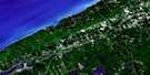
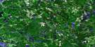
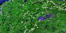
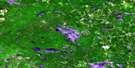
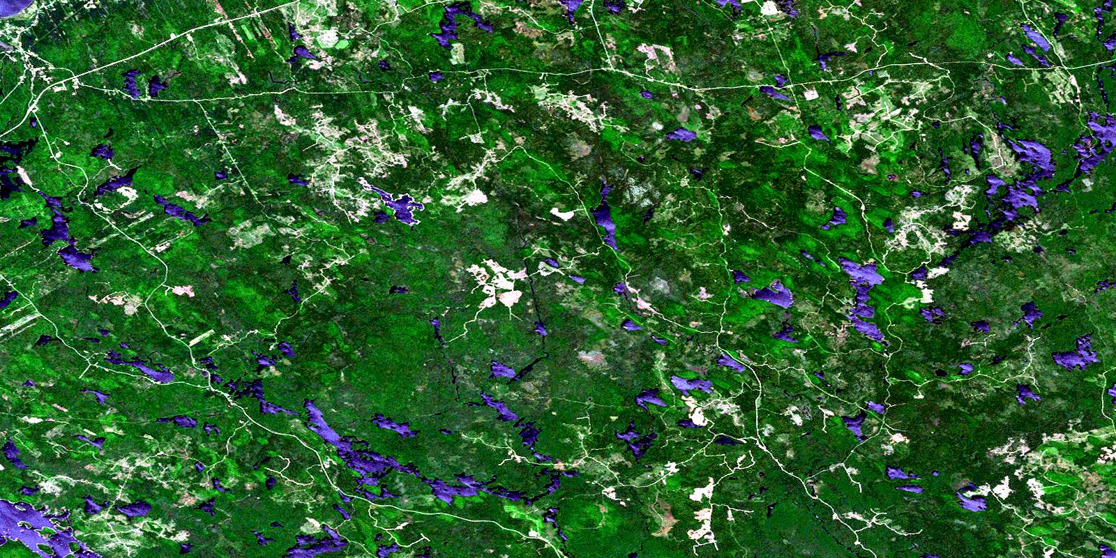
Milford Satellite Image Map
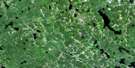
Download Free Aerial Photo 021A11 at 1:50,000 scale
Milford Satellite Imagery
To view this satellite map, mouse over the air photo on the right.
You can also download this satellite image map for free:
021A11 Milford high-resolution satellite image map.
Maps for the Milford aerial map sheet 021A11 at 1:50,000 scale are also available in these versions:
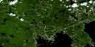
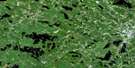
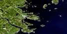
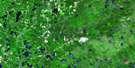
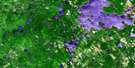
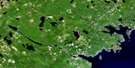
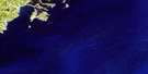
Milford Surrounding Area Aerial Photo Maps
 |
 |
 |
 |
 |
 |
 |
 |
 |
 |
 |
 |
 |
 |
 |
 |
© Department of Natural Resources Canada. All rights reserved.
Milford Gazetteer
The following places can be found on satellite image map 021A11 Milford:
Milford Satellite Image: Bays
Fairbanks BayThomas Cove
Milford Satellite Image: Capes
Charlies PointMilford Satellite Image: Channels
Big River RunBranch Run
Eleven Mile Runs
Freeman Runs
Gang Runs
Gull Lake Runs
Needles Eye
Pikes Runs
The Narrows
Milford Satellite Image: Geographical areas
AnnapolisMilford Satellite Image: Indian Reserves
Bear River 6ABear River 6B
Milford Satellite Image: Islands
Long IslandMatthews Islands
Milford Satellite Image: Lakes
Allison LakeAlma Lake
Av Orde Lake
Baillie Lake
Banks Lake
Banks Lake
Barren Lake
Bear Lake
Beaver Lakes
Big Cranberry Lake
Big McLellan Lake
Big Molly Upsim Lake
Big Mud Lake
Big Pony Lake
Birch Lakes
Bog Lake
Boot Lake
Burhoe Lake
Bustin Lake
Cady Lake
Carter Lake
Connell Lake
Corbett Lake
Cranberry Lake
Croker Lakes
Crotchet Lake
Dalhousie Lake
Dargie Lake
Dargie Millpond
Dillberry Lake
Duck Pond
Dunn Lake
Durland Lake
East Lake
East Stoney Lake
Elder Lake
Eleven Mile Lake
Fairbanks Lake
First Branch Lake
First Lake
First Lake
Fisher Lake
Fivefinger Lake
Four Mile Lake
Fourth Molly Upsim Lakes
Frog Lake
Frog Pond
Gang Lake
Geier Lake
George Lake
Gibsons Lake
Godfrey Lake
Goldsmith Lake
Grand Lake
Grand Lake Flowage
Gull Lake
Handsaw Lake
Handsaw Lakes
Hannam Lake
Hardwick Lake
Hendry Lake
Hick Lake
Hicks Lake
Holland Lake
Hollyhock Lakes
Jeny Lake
Jerry Lake
Keenan Lake
Kelly Lake
Kempton Lake
Keyhole Lake
Keyhole Lakes
Lake Cady
Lake Fredericks
Lake La Rose
Lake Mulgrave
Lake Munro
Lake Torment
Lakes of the Five Hardwood Hills
Lamb Lake
Lambs Lake
Lily Lake
Little Annapolis Lake
Little Bear Lake
Little Beaver Lake
Little Cranberry Lake
Little Dargie Lake
Little Grand Lake
Little Lohnes Lake
Little Long Lake
Little Lynch Mill Lake
Little McLellan Lake
Little Molly Upsim Lake
Little Mud Lake
Little Mud Lake
Little North Lake
Little Pine Lake
Little Pony Lake
Little Porcupine Lakes
Little Seven Mile Lake
Little Sundown Lake
Liverpool Head Lake
Lohnes Lake
Long Lake
Long Lake
Lower Hoyt Lake
Lower Mink Lake
Lower Northeast Lake
Lower Stave Lake
Lower Wrights Lake
Lynch Lake
Lynch Lake
Lynch Mill Duck Pond
Lynch Mill Lake
Matthews Lake
McGill Lake
McLellan Lakes
McLellan Lakes
McVicker Lake
Medicraft Lake
Medway Lake
Mistake Lake
Moose Lake
Moosehead Lake
Morehouse Lake
Mud Lake
Mud Lake
Mulgrave Lake
Munroe Lake
Nineteen Mile Lake
North Lake
Northeast Lakes
Northeast Lakes
Northeast Mud Lake
Oak Lake
Orde Lake
Paradise Head Lake
Paradise Lake
Paradise Lake Flowage
Pike Lakes
Pine Lake
Pits Lake
Pond Hole
Pony Lake
Porcupine Lakes
Private Lake
Pugwash Lake
Pugwash Lake
Quilty Lake
Rocky Lake
Round Lake
Salmon Lake
Sandy Bottom Lake
Scrag Lake
Second Lake
Seven Mile Lake
Shannon Lake
Shell Camp Lake
Skull Bog Lake
Small Spectacle Lakes
Small Stoney Lake
Snake Lake
Snowshoe Lakes
South Mud Lake
Spectacle Lakes
Springhill Mud Lake
Stailing Lake
Stave Lake
Stony Lake
Sundown Lake
Sunrise Lake
The Mill Pond
Thomas Lake
Torment Lake
Trout Hole
Twenty Mile Lake
Uhlman Pond
Upper Gull Lake
Upper Hoyt Lake
Upper Mink Lake
Upper Northeast Lake
Upper Wrights Lake
View Lake
West Stoney Lake
Weyland Lake
Wildcat Lake
Zwicker Lake
Zwickers Lake
Milford Satellite Image: Mountains
Dalhousie HillDepot Hill
Hoodoo Hill
Mickey Hill
Spurr Hills
Milford Satellite Image: Major municipal/district area - major agglomerations
AnnapolisMilford Satellite Image: Rapids
Crotchet Lake RunsJerry Race
Lohnes Lake Runs
Spurrs Eddy
Milford Satellite Image: Rivers
Allain RiverAllain River
Allains Creek
Allains River
Annapolis River
Baillie Lake Brook
Beals Brook
Bear Lake Stream
Bear River
Beeler Brook
Big Bog Brook
Birch Bridge Brook
Black Brook
Bog Brook
Bustin Brook
Cranberry Brook
Donnelly Brook
Durland Lake Brook
East Branch Medway River
East Branch Round Hill River
Eight Mile Brook
Elder Brook
Eleven Mile Brook
Evans Brook
Evans Brook
Flanders Meadow Brook
Flat Run
Frog Lake Stream
Gibsons Brook
Hannam Brook
Harris Brook
Hinton Meadow Brook
Holland Lake Brook
Isaac Meadow Brook
Kelly Brook
Kelly Lake Brook
Lake Fredericks Brook
Leslie Runs
Little Run
Liverpool River
Luxtons Meadow Brook
Lynch Mill Stream
Medway River
Medway River
Mersey River
Mink Brook
Mitchell Brook
Mochelle Brook
Moose Pit Brook
Moose-pit Brook
Morehouse Brook
Moschelle Brook
Ordes Meadow Brook
Paradise Brook
Pike Brook
Porcupine Brook
Potter Brook
Ramsey Meadows Brook
Randolph Brook
Randolphs Stream
Round Hill River
Round Lake Brook
Sandy Bottom Brook
Shannon River
Snell Meadow Brook
South Brook
Spurr Meadow Brook
Sundown Brook
Ten Mile Brook
Ten Mile River
Thomas Brook
Township Brook
Tupper Brook
Tuskopeake Brook
Uhlman Meadow Brook
Walker Brook
West Branch Medway River
West Branch Round Hill River
West Medway River
Weyland Lake Brook
Wildcat Brook
Wildcat River
Woodland Meadow Brook
Milford Satellite Image: River features
Barrys StillwaterButler Stillwater
Cannon Stillwater
Curl Hole
Goldsmiths Stillwater
Hinton Stillwater
Lewis Dump
Myron Stillwater
Russell Stillwater
The Musquash
Milford Satellite Image: Unincorporated areas
Albany CrossDalhousie West
Graywood
Hannamville
Lake La Rose
Lequille
Milford
Mochelle
Moschelle
Perott Settlement
Perotte
South Milford
Victory
West Dalhousie
West Springhill
Milford Satellite Image: Valleys
Annapolis ValleyMilford Satellite Image: Low vegetation
Big Kelly BogBurhoe Meadow
Butler Bog
Charlottes Bog
Charlton Meadows
Copeland Bog
Copeland Meadow
Flanders Meadows
Frying Pan Bog
Harnish Meadow
Hinton Meadows
Hollyhock Bogs
Ikes Meadow
Iles Bog
Jerry Bog
Ordes Meadow
Ramsey Meadows
Smith Meadows
Snell Meadow
South Brook Meadow
Spurr Meadows
Spurrs Medicraft Lake Meadows
Steadman Meadows
The Big Bog
Thibaults Bog
Uhlman Meadow
Watt Meadows
Wiles Meadow
Woodland Bog
Wright Meadow
Wrights Meadow
© Department of Natural Resources Canada. All rights reserved.
021A Related Maps:
021A Annapolis Royal021A01 Lahave Islands
021A02 Liverpool
021A03 Lake Rossignol
021A04 Wentworth Lake
021A05 Weymouth
021A06 Kejimkujik Lake
021A07 Bridgewater
021A08 Lunenburg
021A09 Chester
021A10 New Germany
021A11 Milford
021A12 Digby
021A13 Granville Ferry
021A14 Bridgetown
021A15 Gaspereau Lake
021A16 Windsor
