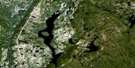
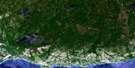
Ile Nue De Mingan Satellite Image Map
Download Free Aerial Photo 022I01 at 1:50,000 scale
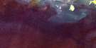
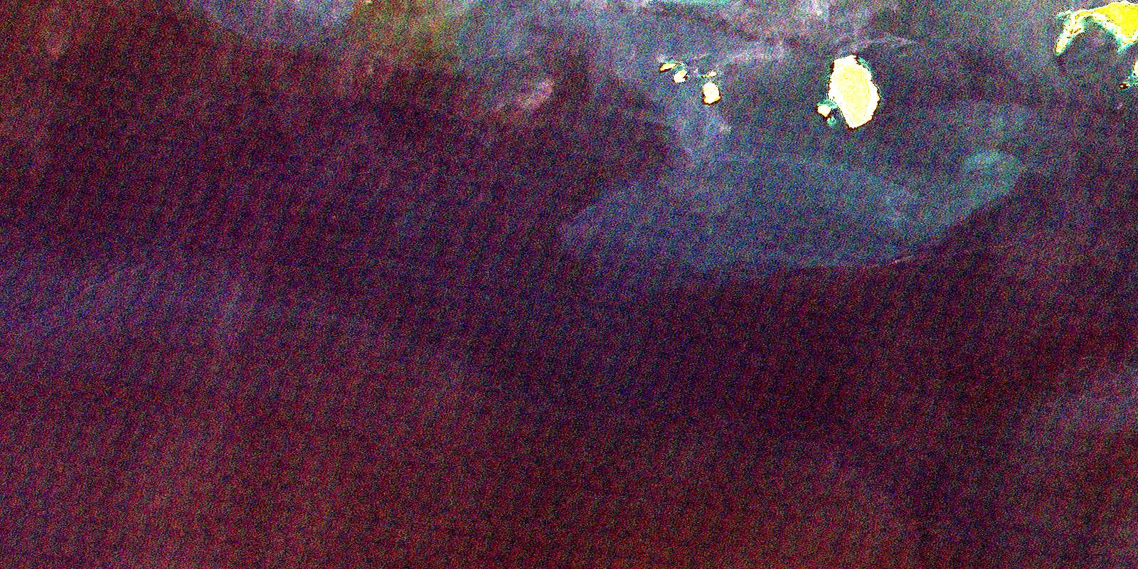
Ile Nue De Mingan Satellite Imagery
To view this satellite map, mouse over the air photo on the right.
You can also download this satellite image map for free:
022I01 Ile Nue De Mingan high-resolution satellite image map.
Maps for the Ile Nue De Mingan aerial map sheet 022I01 at 1:50,000 scale are also available in these versions:
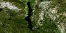
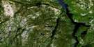
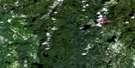
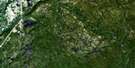
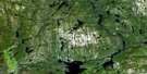
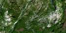
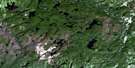
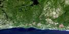
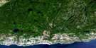
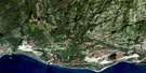
Ile Nue De Mingan Surrounding Area Aerial Photo Maps
 |
 |
 |
 |
 |
 |
 |
 |
 |
 |
 |
 |
 |
© Department of Natural Resources Canada. All rights reserved.
Ile Nue De Mingan Gazetteer
The following places can be found on satellite image map 022I01 Ile Nue De Mingan:
Ile Nue De Mingan Satellite Image: Bays
Anse à ChaloupeAnse à Jos
Baie à Moyacs
Le Havre
Ile Nue De Mingan Satellite Image: Channels
Chenal aux BouleauxChenal aux Perroquets
Détroit de Jacques-Cartier
La Passe
Ile Nue De Mingan Satellite Image: Islands
Archipel de MinganCaye Noire
Île à Bouleaux de Terre
Île à Bouleaux du Large
Île aux Bouleaux
Île aux Perroquets
Île de la Maison
Île de Mingan
Île du Wreck
Île Nue de Mingan
Île Plate
Îles aux Perroquets
Îles de Mingan
La Montagnaise
Le Pain de Sucre
Les Fourneaux
L'Îlot
Petite île aux Bouleaux
Rocher Hulk
Ile Nue De Mingan Satellite Image: Lakes
Lac du Bonhomme-JosLac du Bonhomme-Pierre
Ile Nue De Mingan Satellite Image: Conservation areas
Mingan Archipelago National Park Reserve of CanadaRéserve de parc national du Canada de l'Archipel-de-Mingan
Ile Nue De Mingan Satellite Image: Road features
Sentier KatsheuatanIle Nue De Mingan Satellite Image: Shoals
Banc de MinganBancs de Mingan
© Department of Natural Resources Canada. All rights reserved.
