Port Hope Satellite Image Map
Download Free Aerial Photo 030M16 at 1:50,000 scale
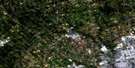
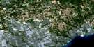
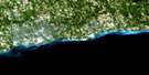
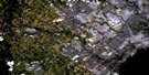
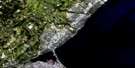
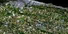
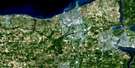
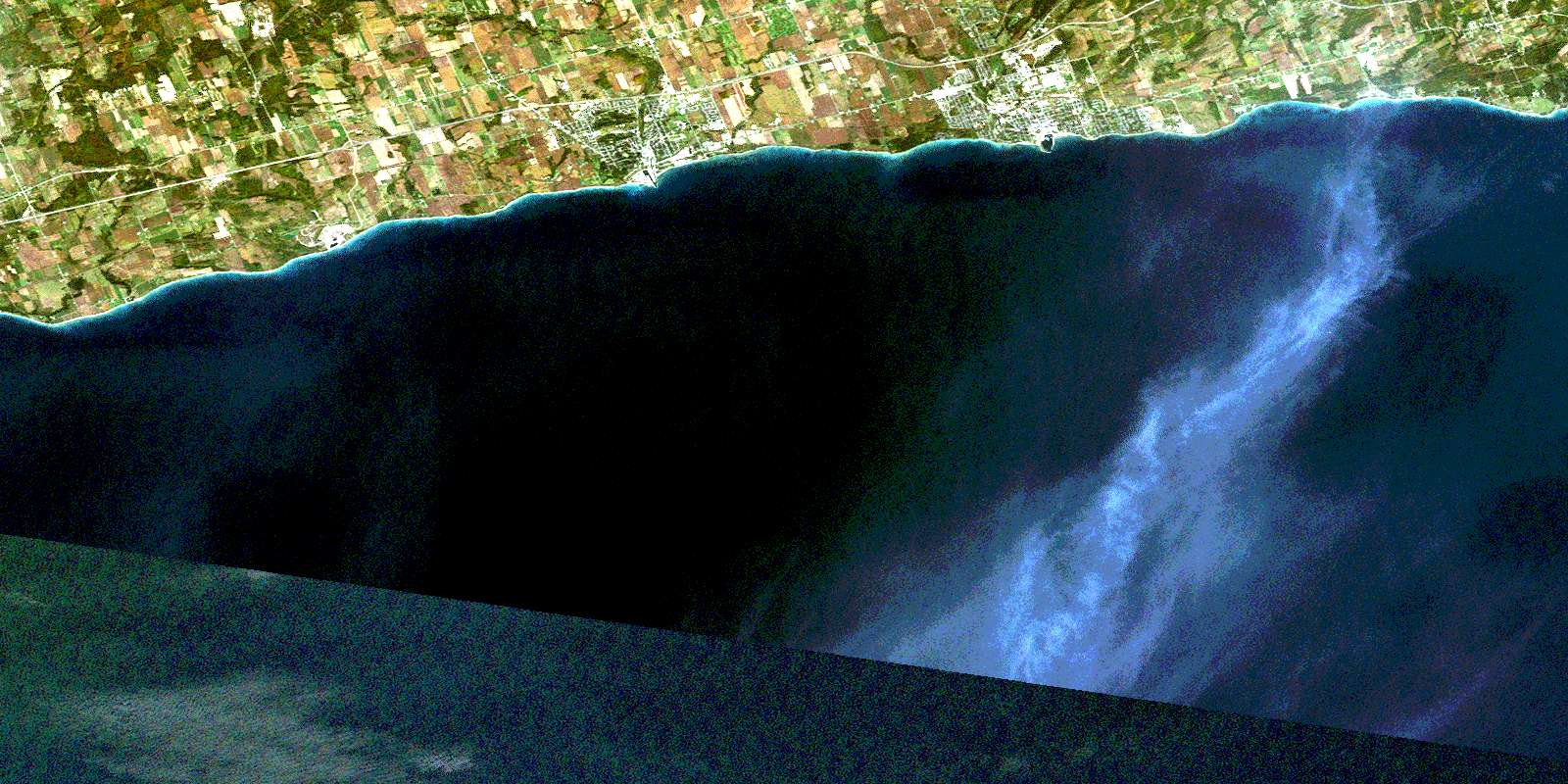
Port Hope Satellite Imagery
To view this satellite map, mouse over the air photo on the right.
You can also download this satellite image map for free:
030M16 Port Hope high-resolution satellite image map.
Maps for the Port Hope aerial map sheet 030M16 at 1:50,000 scale are also available in these versions:
Port Hope Surrounding Area Aerial Photo Maps
 |
 |
 |
 |
 |
 |
||
 |
|||
 |
 |
© Department of Natural Resources Canada. All rights reserved.
Port Hope Gazetteer
The following places can be found on satellite image map 030M16 Port Hope:
Port Hope Satellite Image: Bays
Cobourg HarbourPort Hope Satellite Image: Capes
Bouchette PointChub Point
Crysler Point
Lucas Point
Otty Point
Port Hope Satellite Image: Geographical areas
ClarkeHaldimand
Hamilton
Hope
Northumberland
Port Hope Satellite Image: Lakes
Lac OntarioLake Ontario
Port Hope Satellite Image: Mountains
Monkey MountainPidgeon Hill
Roseberry Hill
Port Hope Satellite Image: Major municipal/district area - major agglomerations
DurhamNorthumberland
Ontario
United Counties of Northumberland and Durham
Port Hope Satellite Image: Other municipal/district area - miscellaneous
AlnwickAlnwick/Haldimand
Clarke
Darlington
Haldimand
Hamilton
Hope
Port Hope Satellite Image: Rivers
Cobourg BrookGage Creek
Ganaraska River
Graham Creek
North Ganaraska River
Port Granby Creek
Shelter Valley Brook
Shelter Valley Creek
Stalker Creek
Port Hope Satellite Image: Shoals
Peter RockPort Hope Satellite Image: Towns
ClaringtonCobourg
Newcastle
Port Hope
Port Hope and Hope
Port Hope Satellite Image: Unincorporated areas
BrooksideCanton
Canton Station
Clarke
Coverdale
Dale
Grafton
Morrish
Newtonville
Newtonville Station
Port Britain
Port Granby
Port Hope
Spicer
Sylvan Glen
Welcome
Wesleyville
Wesleyville Siding
Zion
© Department of Natural Resources Canada. All rights reserved.
