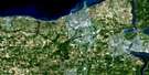
Oshawa Satellite Image Map
Download Free Aerial Photo 030M15 at 1:50,000 scale
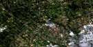
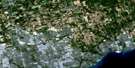
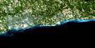
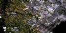
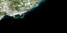
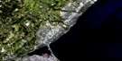
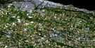
Oshawa Satellite Imagery
To view this satellite map, mouse over the air photo on the right.
You can also download this satellite image map for free:
030M15 Oshawa high-resolution satellite image map.
Maps for the Oshawa aerial map sheet 030M15 at 1:50,000 scale are also available in these versions:
Oshawa Surrounding Area Aerial Photo Maps
 |
 |
 |
 |
 |
 |
||
 |
|||
 |
 |
© Department of Natural Resources Canada. All rights reserved.
Oshawa Gazetteer
The following places can be found on satellite image map 030M15 Oshawa:
Oshawa Satellite Image: Bays
McLaughlin BayNewcastle Harbour
Oshawa Harbour
Port Darlington
Whitby Harbour
Oshawa Satellite Image: Beaches
East BeachPickering Beach
West Beach
West Side Beach
Oshawa Satellite Image: Capes
Bond HeadBonnie Brae Point
Gold Point
McLaughlin Point
Raby Head
Richardson Point
Thicksons Point
Oshawa Satellite Image: City
OshawaOshawa Satellite Image: Geographical areas
ClarkeDarlington
East Whitby
Whitby
Oshawa Satellite Image: Lakes
Lac OntarioLake Ontario
Mill Pond
Samac Lake
Oshawa Satellite Image: Military areas
Champ de manoeuvre OshawaOshawa Training Area
Oshawa Satellite Image: Major municipal/district area - major agglomerations
DurhamOntario
United Counties of Northumberland and Durham
Oshawa Satellite Image: Other municipal/district area - miscellaneous
ClarkeDarlington
East Whitby
Pickering
Oshawa Satellite Image: Conservation areas
Bowmanville Harbour Conservation AreaBowmanville Valley Conservation Area
Cedar Valley Conservation Area
Darlington Provincial Park
Enniskillen Conservation Area
Hampton Conservation Area
Harmony Valley Conservation Area
Heber Down Conservation Area
Lynde Shores Conservation Area
Stephen's Gulch Conservation Area
Thurne Parks Conservation Area
Waterfront Conservation Area
Oshawa Satellite Image: Rivers
Black CreekBowmanville Creek
Corbett Creek
Darlington Creek
East Oshawa Creek
Farewell Creek
Foster Creek
Goodman Creek
Graham Creek
Harmony Creek
Hunter Creek
Lynde Creek
Lytle Creek
Mackie Creek
Mulligan Creek
Orono Creek
Oshawa Creek
Pringle Creek
Robinson Creek
Soper Creek
Stalker Creek
Tooley Creek
West Side Creek
Wilmot Creek
Oshawa Satellite Image: Towns
AjaxClarington
Newcastle
Whitby
Oshawa Satellite Image: Unincorporated areas
AshburnBond Head
Bowmanville
Brooklin
Cedar Dale
Clarke
Columbus
Courtice
Crooked Creek
Darlington
Darlington Station
Darlington Station
Gaud Corners
Hampton
Harmony
Lakeview Park
Lovekin
Maple Grove
Mitchell Corners
Mitchell's Corners
Newcastle Village
Newtonville
North Oshawa
Orono
Pickering Beach
Port Darlington
Port Whitby
Salem
Solina
Starkville
Taunton
Thorton Woods
West Lynde
Whitby Junction
Oshawa Satellite Image: Valleys
Devils DenStephen Gulch
Stephens Gulch
Oshawa Satellite Image: Low vegetation
Second MarshOshawa Satellite Image: Villages
Newcastle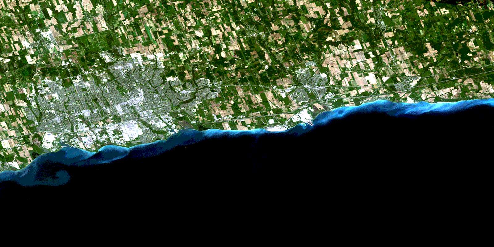
© Department of Natural Resources Canada. All rights reserved.
