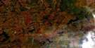
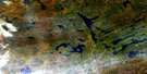
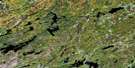
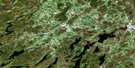
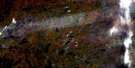
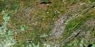
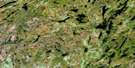
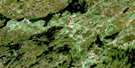
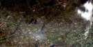
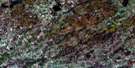
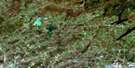
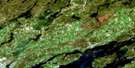
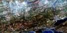
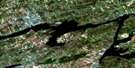
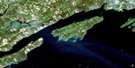
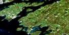
Tweed Satellite Image Map
Download Free Aerial Photo 031C06 at 1:50,000 scale
Tweed Satellite Imagery
To view this satellite map, mouse over the air photo on the right.
You can also download this satellite image map for free:
031C06 Tweed high-resolution satellite image map.
Maps for the Tweed aerial map sheet 031C06 at 1:50,000 scale are also available in these versions:
Tweed Surrounding Area Aerial Photo Maps
 |
 |
 |
 |
 |
 |
 |
 |
 |
 |
 |
 |
 |
 |
 |
 |
© Department of Natural Resources Canada. All rights reserved.
Tweed Gazetteer
The following places can be found on satellite image map 031C06 Tweed:
Tweed Satellite Image: Bays
Cosy CoveTweed Satellite Image: Capes
Nevilles PointTweed Satellite Image: Channels
West ChannelTweed Satellite Image: City
BellevilleQuinte West
Quinte West
Tweed Satellite Image: Falls
Buttermilk FallsTweed Satellite Image: Geographical areas
Camden EastHastings
Hungerford
Huntingdon
Lennox and Addington
Madoc
Rawdon
Richmond
Sheffield
Sidney
Thurlow
Tyendinaga
Tweed Satellite Image: Islands
Butternut IslandGrant Island
Grape Island
Green Island
Papoose Island
Stony Island
Sugar Island
Tweed Satellite Image: Lakes
Beaver LakeDrag Lake
Dry Lake
Goose Lake
Inglesby Lake
Lime Lake
Marland Lake
Moira Lake
Moreland Lake
Mud Lake
Ross Lake
Sampson Lake
Snake Lake
Stoco Lake
White Lake
White Lake
Tweed Satellite Image: Mountains
Coulters HillGrieves Hill
Pancake Hill
Pennells Hill
Tweed Satellite Image: Major municipal/district area - major agglomerations
HastingsLennox and Addington
Tweed Satellite Image: Other municipal/district area - miscellaneous
AdolphustownCamden East
Centre Hastings
Elzevir and Grimsthorpe
Fredericksburgh
Hungerford
Huntingdon
Madoc
Murray
North Fredericksburgh
Rawdon
Richmond
Sheffield
Sidney
South Fredericksburgh
Stirling-Rawdon
Stone Mills
Thurlow
Tweed
Tyendinaga
Tweed Satellite Image: Conservation areas
Menzel Centennial Provincial Nature ReserveStoco Fen Provincial Nature Reserve
Tweed Satellite Image: Rivers
Blessington CreekChrysal Creek
Clare River
East Channel
Fisher Creek
Goose Creek
Hooleys Creek
Madoc Creek
Marysville Creek
Moira River
Mud Creek
Number Ten Creek
Otter Creek
Otter Creek
Parks Creek
Pennells Creek
Rawdon Creek
Salmon River
Selby Creek
Sucker Creek
Sulphide Creek
Tweed Satellite Image: Towns
Greater NapaneeTweed Satellite Image: Unincorporated areas
AlbertBlessington
Bogart
Buller
Buller Siding
Chapman
Chisholm
Chisholm's Mills
Cosy Cove
Coulters Hill
Crookston
Duff Corners
Ebenezer
Empey Hill
Erinsville
Farrell Corners
Forest Mills
Foxboro
Fuller
Grieves Corners
Halloway
Halston
Ingle
Ivanhoe
Ivanhoe Station
Kingsford
Larkins
Latta
Leinster
Lime Lake
Lodgeroom Corners
Lonsdale
Lonsdale Station
Lost Channel
Madoc
Madoc Junction
Marlbank
Melrose
Moira
Moira Lake
Moneymore
Myrehall
Naphan
Perry Mine
Phillipston
Pinegrove
Plainfield
Read
Roblin
Roblindale
Roslin
Sharps Corners
Stoco
Tamworth
Thomasburg
Thrasher's Corners
Thresher Corners
Tuftsville
Tweed
West Huntingdon
West Huntingdon Station
West Plain
Westplain
White Lake
Zion Hill
Tweed Satellite Image: Low vegetation
Hempfly Marsh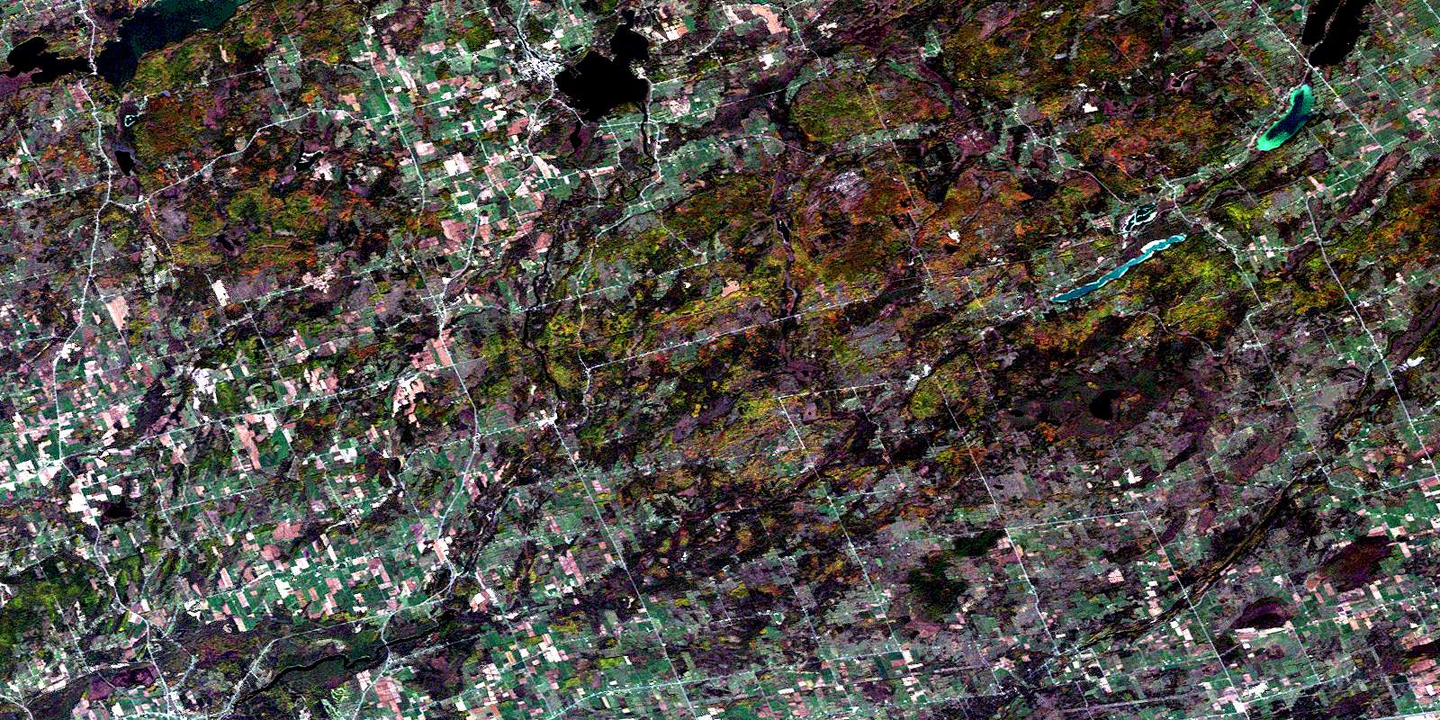
© Department of Natural Resources Canada. All rights reserved.
