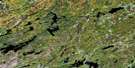
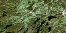
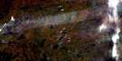
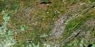
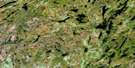
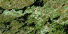
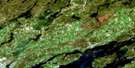
Coe Hill Satellite Image Map
Download Free Aerial Photo 031C13 at 1:50,000 scale
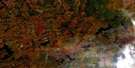
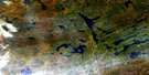
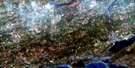
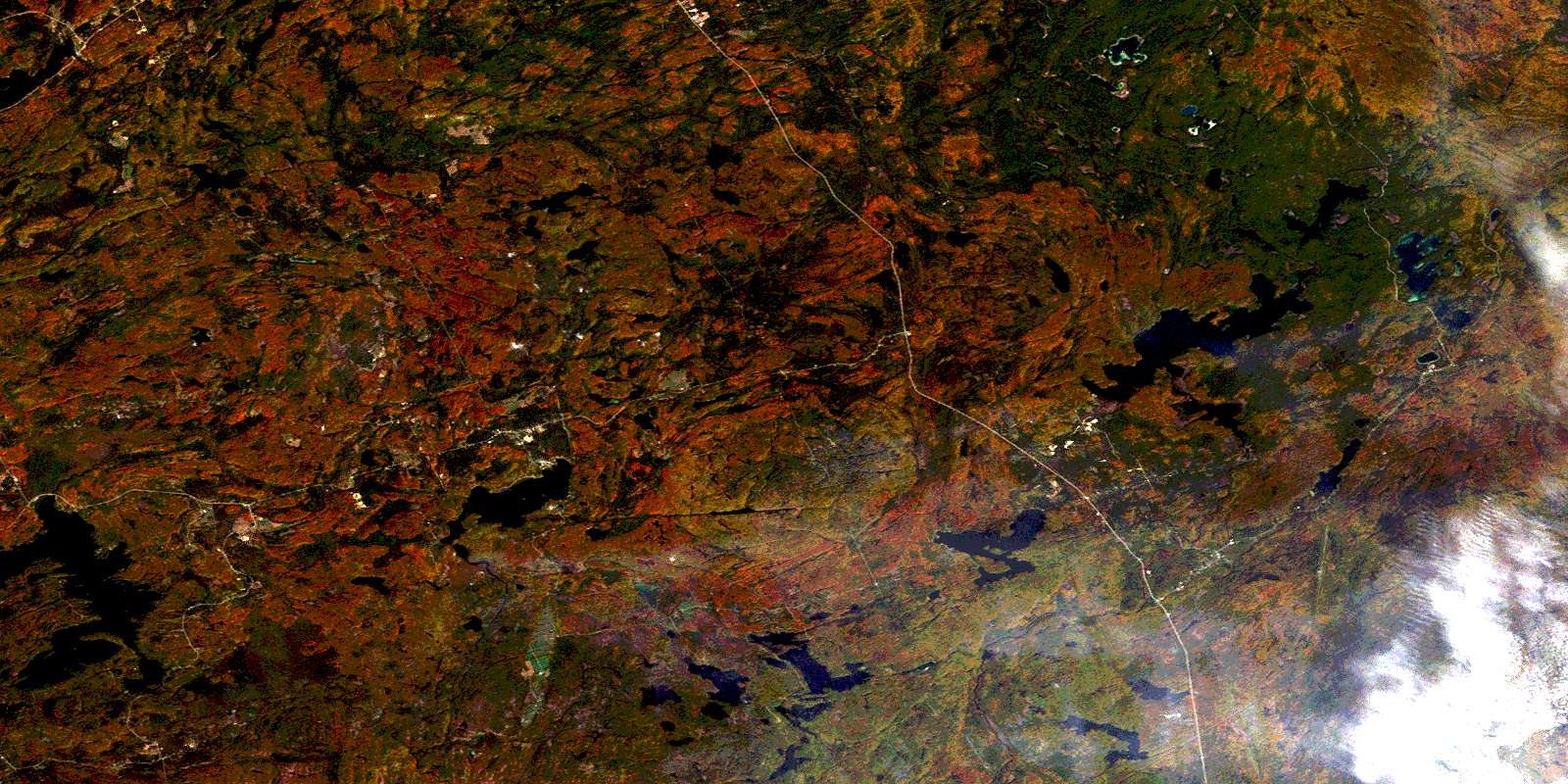
Coe Hill Satellite Imagery
To view this satellite map, mouse over the air photo on the right.
You can also download this satellite image map for free:
031C13 Coe Hill high-resolution satellite image map.
Maps for the Coe Hill aerial map sheet 031C13 at 1:50,000 scale are also available in these versions:
Coe Hill Surrounding Area Aerial Photo Maps
 |
 |
 |
 |
 |
 |
 |
 |
 |
 |
 |
 |
 |
 |
 |
 |
© Department of Natural Resources Canada. All rights reserved.
Coe Hill Gazetteer
The following places can be found on satellite image map 031C13 Coe Hill:
Coe Hill Satellite Image: Bays
Adam's BayAustin's Bay
Caverly's Bay
Gilmour Bay
Mud Bay
Prouty Bay
South Bay
Walkes Bay
Winter Bay
Coe Hill Satellite Image: Capes
Gilmour PointRenwick Point
Sunset Point
The Headland
Coe Hill Satellite Image: Geographical areas
CardiffCashel
Chandos
Dungannon
Faraday
Grimsthorpe
Haliburton
Hastings
Lake
Limerick
Mayo
Methuen
Peterborough
Tudor
Wollaston
Coe Hill Satellite Image: Islands
Bateman's IslandBelle Island
Big Pine Island
Buck Island
Burnt Island
Crab Island
Dewey's Island
Garden Island
Johnston Island
Little Pine Island
Little Rock
Paudash Island
Picket Island
Powers Island
Quality Island
Standish Island
Coe Hill Satellite Image: Lakes
Allen LakeAryhart Lake
Bald Lake
Batelle Lake
Baytree Lake
Bea Lake
Bear Lake
Bear Shanty Lake
Blue Sea Lakes
Bob's Lake
Brett Lake
Brinklow Lake
Brooks Lake
Buttermilk Lake
Cashel Lake
Castoroil Lake
Cedar Lake
Chain Lakes
Chandos Lake
Coe (Island) Lake
Conlin Lake
Cranberry Lake
Currie Lake
Dark Lake
Deception Lake
Dickey Lake
Dixon Lake
Door Lake
Drumm Lake
Duck Lake
East Tommy Lake
Egan Lake
Finnegan Lake
Freen Lake
Gaffney Lake
Gilroy Lake
Glanmire Lake
Grandpop's Lake
Gunter Lake
Hamm Lake
Hardwood Lake
Henderson Lake
Hinchcliffe Lake
Horse Lake
Horseshoe Lake
Imp Lake
Jimmie Lake
Jocko Lake
John Lake
Jordan Lake
Kings Lake
Lake of Islands
Lasswade Lake
Laundry Lake
Lavallée Lake
Lighthouse Lake
Limerick Lake
Little Loon Lake
Little Sanford Lake
Little Skunk Lake
Little Trout Lake
Little Wadsworth Lake
Long Lake
Lower Paudash Lake
Lucerne Lake
Lucid Lake
Mawson Lake
McCallum Lake
McFee Lake
McMurray Lake
Mephisto Lake
Mountain Lake
Mud Lake
Muskrat Lake
Neil Lake
North Finnegan Lake
North Lake
Northwest Perch Lake
Paddy's Lake
Perch Lake
Perch Lake
Peter Lake
Pine Lake
Pond Lily Lake
Powers Lake
Ragged Lake
Riddles Lake
Robinson Lake
Rock Lake
Salt Lake
Sanford Lake
Sargent Lake
Second Lake
Sexsmith Lake
Shaw Lake
Snow Lake
Spring Lake
St. Ola Lake
Steen Lake
Steenburg Lake
Sweets Lake
Taits Lake
Thanet Lake
The Twins
Third Lake
Tommy Lake
Townsend Lake
Trits Lake
Twait's Lake
Twinpine Lakes
Twomile Lake
Upper Trout Lake
Urbach Lake
Vader Lake
Vance Lake
Wadsworth Lake
Wendsley Lake
West Lake
Wollaston Lake
Woods Lake
Coe Hill Satellite Image: Mountains
Madawaska HighlandsCoe Hill Satellite Image: Major municipal/district area - major agglomerations
HaliburtonHastings
Peterborough
Coe Hill Satellite Image: Other municipal/district area - miscellaneous
Belmont and MethuenBicroft
Burleigh and Anstruther
Burleigh-Anstruther-Chandos
Cardiff
Carlow
Carlow/Mayo
Chandos
Dungannon
Elzevir and Grimsthorpe
Faraday
Glamorgan
Havelock-Belmont-Methuen
Highlands East
Hungerford
Limerick
Marmora
Marmora and Lake
Mayo
Monmouth
North Kawartha
Tudor and Cashel
Tweed
Wollaston
Coe Hill Satellite Image: Conservation areas
Crowe River Swamp Conservation ReserveCoe Hill Satellite Image: Rivers
Aide CreekBass Creek
Bear Shanty Creek
Beaver Creek
Black River
Coburn Creek
Crowe River
Deer River
Dickey Creek
Dixon Creek
Egan Creek
Faraday Creek
Glanmire Creek
Jordan River
L'Amable Creek
Little Jordan Creek
Mephisto Creek
Moira River
Mud Creek
Nicholsons Creek
North River
Russel Creek
Steen Creek
Steenburg Creek
Steenburg Creek
West Black River
Coe Hill Satellite Image: Towns
BancroftCoe Hill Satellite Image: Unincorporated areas
BrinklowCoe Hill
Egan Creek
Egan Creek Siding
Faraday
Gilmour
Glanmire
Glen Alda
Gunter
Lake
Lasswade
Martins Landing
McDonalds
Murphy Corners
Ormsby
Ormsby Junction
Owenbrook
Paudash
Rose Island
St. Ola
St. Ola Station
Steenburg
Steenburg Lake
The Ridge
Turriff
Umfraville
Coe Hill Satellite Image: Low vegetation
Phillip's MarshSargent Marsh
© Department of Natural Resources Canada. All rights reserved.
