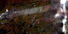
Trenton Satellite Image Map
Download Free Aerial Photo 031C04 at 1:50,000 scale
Trenton Satellite Imagery
To view this satellite map, mouse over the air photo on the right.
You can also download this satellite image map for free:
031C04 Trenton high-resolution satellite image map.
Maps for the Trenton aerial map sheet 031C04 at 1:50,000 scale are also available in these versions:
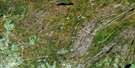
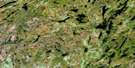
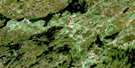
Trenton Surrounding Area Aerial Photo Maps
 |
 |
 |
 |
 |
 |
 |
 |
 |
 |
 |
 |
 |
 |
 |
 |
© Department of Natural Resources Canada. All rights reserved.
Trenton Gazetteer
The following places can be found on satellite image map 031C04 Trenton:
Trenton Satellite Image: Bays
Bay of QuinteBoat Harbour
Bradley Bay
Calf Pasture Cove
Popham Bay
Presqu'ile Bay
Stoneburg Cove
Wellers Bay
Young Cove
Trenton Satellite Image: Beaches
Bald Head BeachBarcovan Beach
Trenton Satellite Image: Capes
Bald HeadBecroft Point
Calf Pasture Point
Carley Point
Indian Point
Meyers Point
Onderdonk Point
Pine Point
Presqu'ile Peninsula
Salt Point
Sherwood Point
Shoal Point
Smoke Point
Spencer Point
Stony Point
Sugar Point
The Carrying Place
Twelve O'Clock Point
Way Point
Woods Point
Young Point
Trenton Satellite Image: Channels
Blind ChannelBlue Hole
Trenton Satellite Image: City
Prince EdwardQuinte West
Trenton Satellite Image: Geographical areas
AlnwickAmeliasburgh
Brighton
Brighton
Cramahe
Haldimand
Hastings
Murray
Northumberland
Percy
Prince Edward
Seymour
Sidney
Trenton Satellite Image: Islands
Ames IslandAusten Island
Baker Island
Bald Head Island
Bald Island
Bigelow Island
Cole Island
Cranberry Island
Fox Island
Heagles Island
Hickory Island
Indian Island
Jett Island
Meyers Island
Potts Island
Sill Island
Silver Island
Stony Island
Wilson Island
Trenton Satellite Image: Lakes
Biddy LakeConsecon Lake
Dartford Pond
Hermiston Lake
Lac Ontario
Lake Ontario
Little Lake
Matson Lake
McCleary Lake
Norham Pond
O'Reilly Lake
Tremur Lake
Trenton Satellite Image: Marine navigation features
Murray CanalTrenton Satellite Image: Military areas
Base des Forces canadiennes TrentonCanadian Forces Base Trenton
Trenton Satellite Image: Mountains
Cramahe HillDrewry Hill
Mays Hill
Murray Hills
Salem Hill
Sullivans Hill
Tank Hill
The Mountain
Trenton Satellite Image: Major municipal/district area - major agglomerations
HastingsNorthumberland
United Counties of Northumberland and Durham
Trenton Satellite Image: Other municipal/district area - miscellaneous
AlnwickAlnwick/Haldimand
Ameliasburgh
Athol
Brighton
Cramahe
Haldimand
Hallowell
Hillier
Marysburgh
Murray
North Marysburgh
Percy
Seymour
Sidney
Sophiasburgh
South Marysburgh
Trenton Satellite Image: Conservation areas
Carrying Place of the Bay of Quinte National Historic Site of CanadaGoodrich-Loomis Conservation Area
Lieu historique national du Canada de la Voie-Navigable-Trent--Severn
Lieu historique national du Canada du Portage-de-la-Baie-de-Quinte
Presqu'ile Provincial Park
Proctor Park Conservation Area
Réserve nationale de faune de la Baie-Wellers
Sager Conservation Area
Trent--Severn Waterway National Historic Site of Canada
Warkworth Conservation Area
Wellers Bay National Wildlife Area
Trenton Satellite Image: Rivers
Biddy CreekBreakaway Creek
Burnley Creek
Colborne Creek
Cold Creek
Dead Creek
Little Cold Creek
Marsh Creek
Mayhew Creek
Meyers Creek
Palliser Creek
Percy Creek
Piper Creek
Proctors Creek
Salem Creek
Salt Creek
Shelter Valley Brook
Shelter Valley Creek
Smithfield Creek
Trent River
Trenton Satellite Image: River features
Hagues ReachHaig's Reach
Percy Reach
Trenton Satellite Image: Shoals
Calf Pasture CribIndian Island Bank
Presqu'ile Middle Ground
Reach Rock
Salt Reef
Trenton Satellite Image: Towns
BrightonCampbellford/Seymour
Campbellford/Seymour, Percy, Hastings
Trent Hills
Trenton Satellite Image: Unincorporated areas
AlburyBamford
Barcovan Beach
Batawa
Bayside
Brighton
Brown Corners
Canal
Cankerville
Carman
Carmel
Carrying Place
Castleton
Cedar Creek
Codrington
Colborne
Consecon
Dartford
Dundonald
East Colborne
Edville
Frankford
Gardenville
Glen Miller
Gosport
Greenleys Corners
Griffis Corners
Griffith Corners
Hilton
Johnstown
Lovett
Maple View
Meyersburg
Morganston
Mount Zion
Mutton
Norham
Oak Heights
Orland
Percy Boom
Presqu'ile Point
Purdy Corners
Salem
Salem Corners
Shiloh
Smithfield
Spring Valley
Stockdale
Trenton
Trenton Junction
Tubbs Corners
Twelve O'Clock Point
Vernonville
Wade Corners
Wark
Warkworth
Wooler
Trenton Satellite Image: Low vegetation
Murray Marsh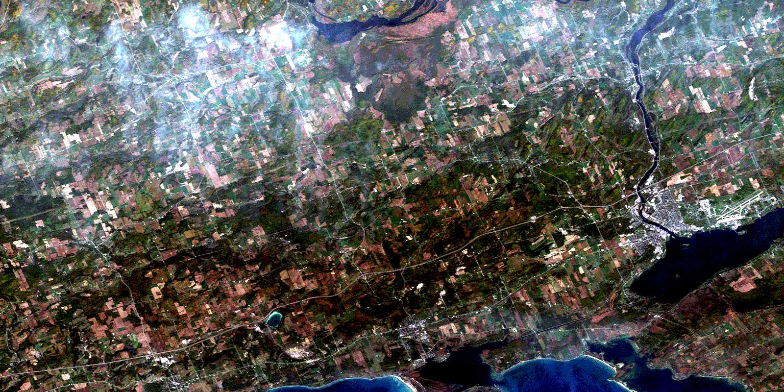
© Department of Natural Resources Canada. All rights reserved.
