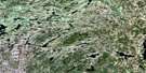
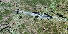
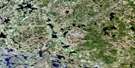
South River Satellite Image Map
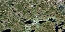
Download Free Aerial Photo 031E14 at 1:50,000 scale
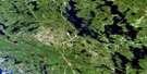
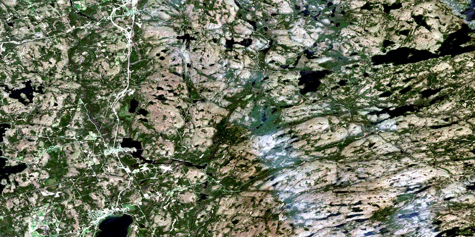
South River Satellite Imagery
To view this satellite map, mouse over the air photo on the right.
You can also download this satellite image map for free:
031E14 South River high-resolution satellite image map.
Maps for the South River aerial map sheet 031E14 at 1:50,000 scale are also available in these versions:
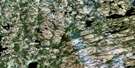
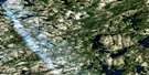
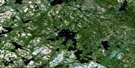
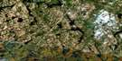
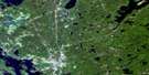
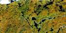
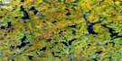
South River Surrounding Area Aerial Photo Maps
 |
 |
 |
 |
 |
 |
 |
 |
 |
 |
 |
 |
 |
 |
 |
 |
© Department of Natural Resources Canada. All rights reserved.
South River Gazetteer
The following places can be found on satellite image map 031E14 South River:
South River Satellite Image: Falls
Corkery FallsCox Chute
Davidson Chute
Freeman Chute
Geisler Chute
Gimball Chute
Gitzler Falls
Truisler Chute
South River Satellite Image: Geographical areas
BallantyneBiggar
Butt
Gurd
Himsworth
Joly
Laurier
Machar
Nipissing
North Himsworth
Parry Sound
Paxton
Proudfoot
South Himsworth
Strong
Wilkes
South River Satellite Image: Islands
Broncho IslandCamp Island
Edgar Island
Hall Island
Hondoo Island
Inglis Island
Little Island
South River Satellite Image: Lakes
Axton LakeBacon Lake
Baimwawa Lake
Ballantyne Lake
Basil Lake
Beautiful Lake
Bernard Lake
Big Bob Lake
Bluesky Lake
Boon Lake
Bopeep Lake
Bray Lake
Butterfield Lake
Capsell Lake
Cayuga Lake
Charr Lake
Chibiabos Lake
Corkery Lake
Corncob Lake
Cornick Lake
Craig Lake
Dead Horse Lake
Denis Lake
Dight Lake
Eagle Lake
Edwards Lake
Ever Lake
Forest Lake
Gandalore Lake
Genesee Lake
Goose Egg Lake
Ham Lake
HamiltonLake
Harkness Lake
Hawe Lake
Hinsburger Lake
Indian Pipe Lake
Jeepi Lake
Kakasamic Lake
Kawawaymog Lake
Keewaydin Lake
King Lake
Koko Lake
Kuwasda Lake
Kwonishi Lake
Lambs Lake
Laurier Lake
Little Hemlock Lake
Little Peyton Lake
Little Tyne Lake
Long Lake
Lorne Lake
Lost Dog Lake
Louck Lake
Loxton Lake
Lynch Lake
Machar Lake
Manitou Lake
Maryjane Lake
Mattowacka Lake
Moose Lake
Mujekiwis Lake
Music Lake
Nahma Lake
Namegos Lake
North Tea Lake
Osborne Lake
Otter Lake
Paisley Lake
Pat Lake
Paxton Lake
Pemican Lake
Peyton Lake
Pipe Lake
Pishnecka Lake
Sahwa Lake
Sally Lake
Sausage Lake
Scheil Lake
Seven Lake
Shaw Lake
Sisco Lake
Siscowet Lake
Smyth Lake
Starvation Lake
Stephen Lake
Stove Lake
Stranger Lake
Stringer Lake
Tim Lake
Timpano Lake
Togo Lake
Tower Lake
Twelve Lake
Twentyseven Lake
Twin Lakes
Tyne Lake
Wabanah Lake
Waskigomog Lake
Wendigo Lake
West Koko Pond
Wet Lake
Wilkes Lake
Winifred Lake
Wrights Pond
Yenadizze Lake
South River Satellite Image: Other municipal/district area - miscellaneous
Himsworth SouthJoly
Machar
Nipissing
Strong
South River Satellite Image: Conservation areas
Algonquin Provincial ParkBray Lake Conservation Reserve
Joly Township Hardwoods Conservation Reserve
Louck Lake Wetland Conservation Reserve
Sausage Lake Forest Conservation Reserve
South River Forest Conservation Reserve
South River Satellite Image: Rivers
Amable du Fond RiverBaimwawa Creek
Bopeep Creek
Bray Creek
Cayuga Creek
Chibiabos Creek
Corkery Creek
Craig Creek
Ewayea Creek
Kakasamic Creek
Lorne Creek
Nipissing River
Nokomis Creek
North Magnetawan River
Pishnecka Creek
Smith Creek
Smyth Creek
South River
Tim River
Tyne Creek
Wabanah Creek
South River Satellite Image: Towns
KearneyPowassan
South River Satellite Image: Unincorporated areas
Bray LakeDeans
Eagle Lake
Maecks Subdivision
Trout Creek
South River Satellite Image: Villages
South RiverSundridge
© Department of Natural Resources Canada. All rights reserved.
031E Related Maps:
031E Huntsville031E01 Wilberforce
031E02 Haliburton
031E03 Bracebridge
031E04 Lake Joseph
031E05 Orrville
031E06 Huntsville
031E07 Kawagama Lake
031E08 Whitney
031E09 Opeongo Lake
031E10 Tom Thomson Lake
031E11 Burk's Falls
031E12 Magnetawan
031E13 Golden Valley
031E14 South River
031E15 Burntroot Lake
031E16 Lake Lavieille
