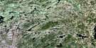
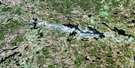
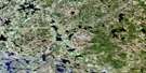
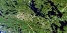
Magnetawan Satellite Image Map
Download Free Aerial Photo 031E12 at 1:50,000 scale
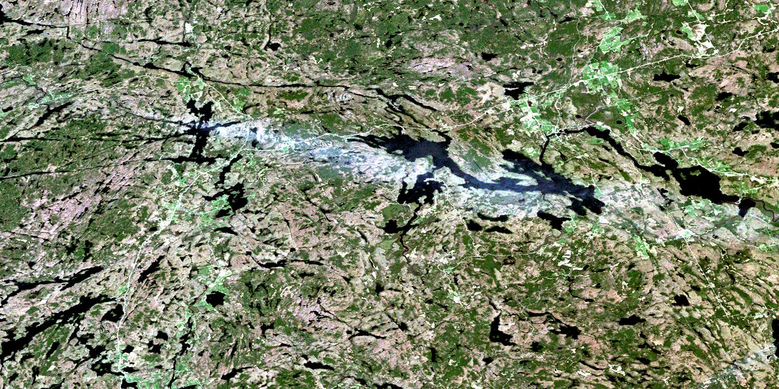
Magnetawan Satellite Imagery
To view this satellite map, mouse over the air photo on the right.
You can also download this satellite image map for free:
031E12 Magnetawan high-resolution satellite image map.
Maps for the Magnetawan aerial map sheet 031E12 at 1:50,000 scale are also available in these versions:
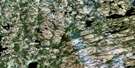
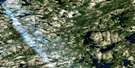
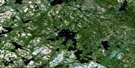
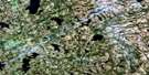
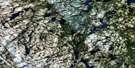
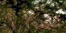
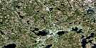
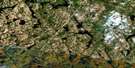
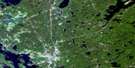
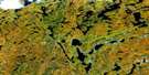
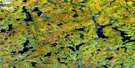
Magnetawan Surrounding Area Aerial Photo Maps
 |
 |
 |
 |
 |
 |
 |
 |
 |
 |
 |
 |
 |
 |
 |
 |
© Department of Natural Resources Canada. All rights reserved.
Magnetawan Gazetteer
The following places can be found on satellite image map 031E12 Magnetawan:
Magnetawan Satellite Image: Bays
Cranberry BayDeep Bay
Forkers Bay
Fraser Bay
Gibsons Bay
Grassy Bay
Green Bay
Hamiltons Bay
Holts Bay
Hudsons Bay
Kelcey's Mill Pond
Lawson Bay
Longarm Bay
Lost Bay
Moore Bay
Newell Bay
Old Mill Bay
Poverty Bay
Short Bay
Tahinca Cove
Magnetawan Satellite Image: Capes
Birch PointCatfish Rock
Creasor's Rock
Feighen Point
Gun Point
Hammer Point
Lone Rock Point
Pickerel Point
Picnic Point
Pinetree Point
Pleasant Point
Powell's Point
Rocky Reef Point
Round Point
Sample Point
Magnetawan Satellite Image: Channels
Dunchurch NarrowsDunchurch Second Narrows
Hargrave Narrows
The Grass
The Narrows
Magnetawan Satellite Image: Falls
Knoefli FallsLower Burnt Chute
Lower Burnt Chute
Poverty Bay Chutes
Upper Burnt Chute
Upper Burnt Chute
Magnetawan Satellite Image: Geographical areas
BurpeeChapman
Croft
East Burpee
Ferguson
Ferrie
Hagerman
Lount
McKellar
McKenzie
McMurrich
Parry Sound
Ryerson
Spence
Strong
Magnetawan Satellite Image: Islands
Andy IslandBald Island
Bella Island
Birch Island
Brown's Island
Cameron Island
Campbell Island
Canning Island
Clifton Island
Dobbs Island
Doc's Island
Echo Island
Ferris Island
Gordon Island
Hosick Island
Jubilee Island
Little Island
Macfie Island
Maple Island
Millin Island
Moore Island
One Tree Island
Petrita Island
Powell Island
Pratt's Island
Rock Island
Simpson Islands
Whitestone Island
Wolf Island
Wolfe Island
Magnetawan Satellite Image: Lakes
Ahmic LakeAinslie Lake
Armstrong Lake
Bartlett Lake
Bat Lake
Beasley Lake
Beaver Lake
Beckett Lake
Bell Lake
Bells Lake
Bishop Lake
Blackberry Lake
Blue Lake
Bosley Pond
Brownley Lake
Canning Lake
Carmen Lake
Carrington Lake
Cecebe Lake
Clear Lake
Clear Lake
Cooper Lake
Crawford Lake
De Bois Lake
Dun Lake
Dunchurch Lake
Fairholme Lake
Falby Lake
Ford Lake
Goose Lake
Gordon Lake
Grey Owl Lake
Harrison Lake
Henry Lake
Highrock Lake
Hobson Lake
Horn Lake
Hosick Lake
Hughes Lake
Jeffery Lake
Johnson Lake
Keiller Lake
La Brash Lake
Lake Cecebe
Larch Lake
Limestone Lake
Little Harris Lake
Little McKellar Lake
Little Ruebottom Lake
Little Snakeskin Lake
Little Spring Lake
Lodge Lake
Lorimer Lake
Love Lake
Manitouwabing Lake
Manson Lake
Mary Jane Lake
McEwen Lake
McKellar Lake
McLennan Lake
Midlothian Lake
Moffat Lake
Moulton Lake
Mud Lake
Neighick Lake
Nelson Lake
Newell Lake
Ogden Lake
Old Mans Lake
Oliver Lake
Orange Lake
Parker Lake
Pearceley Lake
Pinetree Lake
Plumptre Lake
Quinn Lake
Rainy Lake
Robertson Lake
Robinson Lake
Round Lake
Ruebottom Lake
Ryan Lake
Ryder Lake
Saltlick Lake
Saunders Lake
Schmeiler Lake
Seguin Lake
Shanty Lake
Shawanaga Lake
Simmons Lake
Simolea Lake
Simpson Lake
Snake Lake
Snakeskin Lake
Sollman Lake
Spence Lake
Spring Lake
Squaw Lake
Stinking Lake
Tarrant Lake
Taylor Lake
The Top Lake
Truax Lake
Twin Lakes
Vowel Lake
Wahwashkesh Lake
Watson Lake
Wauby Lake
Whalley Lake
Whitestone Lake
Wilson Lake
Magnetawan Satellite Image: Mountains
Blueberry HillSpyglass Hill
Magnetawan Satellite Image: Other municipal/district area - miscellaneous
ChapmanHagerman
Magnetawan
Magnetawan
McDougall
McKellar
McMurrich
McMurrich/Monteith
Ryerson
Strong
Whitestone
Magnetawan Satellite Image: Conservation areas
Ahmic Forest and Rock Barrens Conservation ReserveBear Lake Peatland Conservation Reserve
Ferrie Township Forest Conservation Reserve
Island Lake Forest and Barrens Conservation Reserve
Little Spring Lake Conservation Reserve
Ryerson Township Forest Conservation Reserve
Shawanaga Lake Conservation Reserve
Magnetawan Satellite Image: Rapids
Cody RapidsLovesick Rapids
Markham Rapids
Needles Eye Rapids
Porter Rapids
Porter Rapids
Ross Rapids
Sardine Can Run
Seller Rapids
Squaw Rapids
Magnetawan Satellite Image: Rivers
Ahmic CreekBeggsboro Creek
Bosley Creek
Boyce Creek
Butler Creek
De Bois Creek
Distress River
Eagle Creek
Ferrie River
Jenkins Creek
Jordan Creek
Magnetawan River
Manitouwabing River
Minnow Creek
Montgomerys Creek
Mud Creek
Neighick River
Snakeskin Creek
Snakeskin Creek
Staleys Creek
Truax Creek
Wauby Creek
Whitestone River
Wylie Creek
Magnetawan Satellite Image: River features
Middle ReachNorth Reach
South Reach
Magnetawan Satellite Image: Shoals
Nautilus RockMagnetawan Satellite Image: Unincorporated areas
Ahmic HarbourAhmic Lake
Bourdeau
Cecebe
Cedar Croft
Chikopi
Dunchurch
Fairholme
Forest Nook
Inholmes
Lorimer Lake
Magnetawan
Maple Island
McKellar
Midlothian
North Seguin
Oranmore
Pearceley
Port Anson
Port Carmen
Rockwynn
Spence
Starrat
Sunny Slope
Whitestone
© Department of Natural Resources Canada. All rights reserved.
031E Related Maps:
031E Huntsville031E01 Wilberforce
031E02 Haliburton
031E03 Bracebridge
031E04 Lake Joseph
031E05 Orrville
031E06 Huntsville
031E07 Kawagama Lake
031E08 Whitney
031E09 Opeongo Lake
031E10 Tom Thomson Lake
031E11 Burk's Falls
031E12 Magnetawan
031E13 Golden Valley
031E14 South River
031E15 Burntroot Lake
031E16 Lake Lavieille
