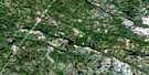
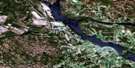
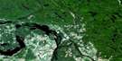
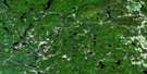
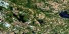
Renfrew Satellite Image Map
Download Free Aerial Photo 031F07 at 1:50,000 scale
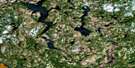
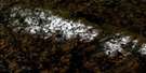
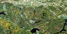
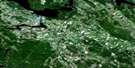
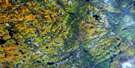
Renfrew Satellite Imagery
To view this satellite map, mouse over the air photo on the right.
You can also download this satellite image map for free:
031F07 Renfrew high-resolution satellite image map.
Maps for the Renfrew aerial map sheet 031F07 at 1:50,000 scale are also available in these versions:
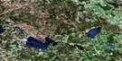
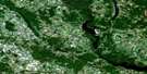
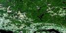
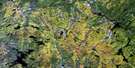
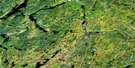
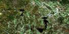
Renfrew Surrounding Area Aerial Photo Maps
 |
 |
 |
 |
 |
 |
 |
 |
 |
 |
 |
 |
 |
 |
 |
 |
© Department of Natural Resources Canada. All rights reserved.
Renfrew Gazetteer
The following places can be found on satellite image map 031F07 Renfrew:
Renfrew Satellite Image: Bays
Bennett BayBlack Bay
Camerons Bay
Donnellys Bay
Eggshape Bay
Grassy Bay
Legrees Bay
Little Sand Bay
McNeelys Bay
Nettletons Bay
Pickerel Bay
Sand Bay
Sunset Bay
Three Mile Bay
Renfrew Satellite Image: Beaches
Jockos BeachRenfrew Satellite Image: Capes
Barnets PointBluff Point
Burnt Point
Butternut Point
Clear Point
Donnellys Point
Eagle Point
Fishers Point
Mohawk Place
Ryans Point
Squaw Point
Renfrew Satellite Image: Geographical areas
AdmastonBagot
Blithfield
Bromley
Brougham
Darling
Grattan
Horton
Lanark
McNab
Pakenham
Wilberforce
Renfrew Satellite Image: Islands
Andrews IslandAvalon Island
Barrys Island
Birch Island
Bogs Island
Bog's Island
Braidens Island
Corley Island
Curleys Island
Deadmans Island
Hardwood Island
Howards Island
Indian Island
Indian Islands
Indian Islands
Jacob Island
Jacob Islands
Jacob Islands
Kitty Island
McLachlins Island
Myrtle Island
Rocky Island
Ross Island
Stanley Island
Stewart Island
Waba Island
Renfrew Satellite Image: Lakes
Adams LakeAustins Lake
Balmer Lake
Bircham Lake
Black Donald Lake
Black Lake
Black Lake
Blackbird Lake
Brennan Lake
Buffalo Lake
Calabogie Lake
Carter Lake
Chamberlain Lake
Colton Lake
Condon Lake
Constan Lake
Constant Lake
Constos Lake
Cotters Lake
Culhanes Lake
Dedo Lake
Deils Lake
Dempseys Lake
Denniston Lake
Devils Hole
Dillon Lake
Discus Lake
Dominic Lake
Fergusons Lake
Fishery Lake
Franks Lake
Fraser Lake
French Lake
Garskeys Lake
Green Lake
Guiney Lake
Hartshorn Lake
Holmes Lake
Horton Lake
Hunt Lake
Hunts Lake
Hurd Lake
Hurds Lake
Jacks Lake
Jacktar Lake
Jamieson Lake
Joes Lake
Kennelly Lake
Kileys Lakes
Lafleurs Lake
Lake of the Hills
Limestone Lake
Little Black Lake
Lower Fish Lake
Lynchs Lake
MacPherson Lake
Malotte Lake
Marly Lake
Martell Lake
Mason Lake
McCool Lake
McLachlan Lake
McLellan Lake
McMaster Lake
McNab Lake
McNulty Lake
McNultys Lake
McPherson Lake
Miller Lake
Moran Lake
Moriartys Lake
Mud Lake
Mudlark Lake
Murphy Lake
Newfield Lake
Nipper Lake
Norway Lake
Parish Lake
Patrickfalls Lake
Pats Lake
Perault Lake
Pike Lake
Reid Lake
Round Lake
Ryans Lake
Samally Lake
Sammons Lake
Shannons Lakes
St. Pierre Lake
Stevens Lake
Stewarts Lake
Stones Lake
Streich Lake
Stubinskis Lake
Stufkos Lake
Taylor Lake
The Fish Lakes
The Fish Lakes
The Fish Lakes
Upper Fish Lake
Virgin Lake
Warrens Lake
Webber Lake
Whelan Lake
White Lake
Renfrew Satellite Image: Mountains
Ansters HillBlimkies Mountain
Bonnechere Ridge
Carswells Hill
Collins Hill
Curtins Hill
Dicksons Mountain
Dillons Mountain
Ferguslea Hill
Gorras Hill
Kennellys Mountain
MacPherson Lake Mountain
Madawaska Highlands
Madawaska Hill
Maloneys Mountain
Martins Hill
McGees Hill
McGee's Mountain
McGraths Hill
Mount St. Patrick Mountains
Nolans Hill
Oak Hills
Oak Mountain
Poplar Mountain
Rock of Gibraltar
Scarfs Hill
Tatty Hill
The Pinnacle
Thompson Hill
Yellow Jacks Hill
Renfrew Satellite Image: Major municipal/district area - major agglomerations
LanarkRenfrew
Renfrew Satellite Image: Other municipal/district area - miscellaneous
AdmastonAdmaston/Bromley
Bagot and Blythfield
Bagot, Blythfield and Brougham
Bonnechere Valley
Bromley
Brougham
Darling
Grattan
Greater Madawaska
Griffith and Matawatchan
Horton
Lanark
Lanark Highlands
Lavant, Dalhousie and North Sherbrooke
McNab
McNab/Braeside
North Algona
North Algona Wilberforce
North West Lanark
Pakenham
Ramsay
Sebastopol
South Algona
Wilberforce
Renfrew Satellite Image: Conservation areas
Centennial Lake Provincial Nature ReserveConstant Creek Swamp and Fen Conservation Reserve
Renfrew Satellite Image: Rivers
Bagot CreekBerlanguet Creek
Berlanquet Creek
Black Donald Creek
Bonnechere River
Boundary Creek
Brandy Brook
Broad Brook
Broad Creek
Cherrys Creek
Constan Creek
Constant Creek
Crozier Creek
Culls Creek
Deils Creek
Dochart Creek
Fish Creek
Hallidays Creek
Hansons Creek
Holliday Creek
Kasaboski Creek
Kenneys Creek
Kippens Creek
Liffey Creek
Little Black Donald Creek
Little Halliday Creek
Locha Creek
Lochay Creek
Lochiel Creek
Long Lake Creek
Madawaska River
Malotte Creek
McGees Creek
Mile Creek
Moores Creek
Paris Creek
Pettigrews Creek
Raycroft Creek
Ryan Creek
Smiths Creek
Stoughtons Creek
Virgin Creek
Renfrew Satellite Image: Towns
Mississippi MillsRenfrew
Renfrew Satellite Image: Unincorporated areas
AdmastonAshdad
Ashdod
Balaclava
Balsam Hill
Barryvale
Belangers Corner
Burnstown
Calabogie
Caldwell
Cotieville
Dacre
Douglas
Ferguslea
Fremo Corners
Glasgow Station
Gorman
Goshen
Grattan
Hurds Lake
Hyndford
Loch Winnoch
Lochwinnoch
Lower Dacre
Lundys Corners
Martin Corners
Martins Corner
Mayhew
McDougall
Moores Lake
Mount St. Patrick
Newfield
Oakgrove
Opeongo
Payne
Quilty
Renfrew Junction
Scotch Bush
Shamrock
Springtown
Spruce Hedge
Stewartville
Thompson Hill
Thomson Hill
Whelan Lake
White Lake
Renfrew Satellite Image: Low vegetation
Blimkies Meadow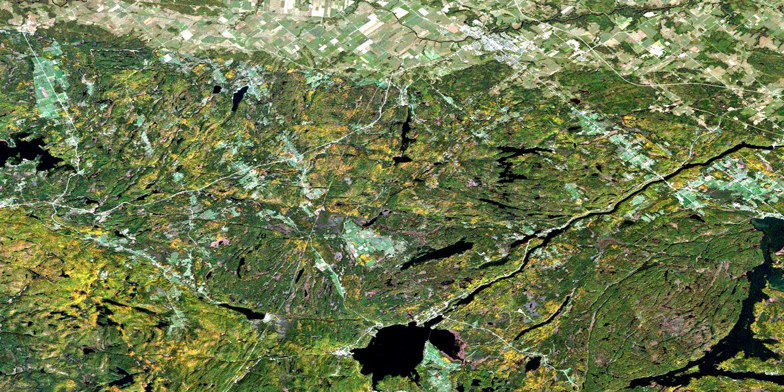
© Department of Natural Resources Canada. All rights reserved.
