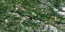
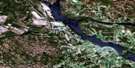
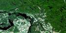
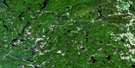
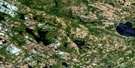
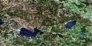
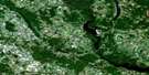
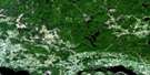
Cobden Satellite Image Map
Download Free Aerial Photo 031F10 at 1:50,000 scale
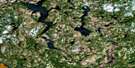
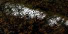
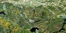
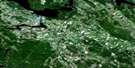
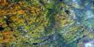
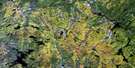
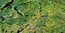
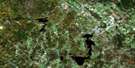
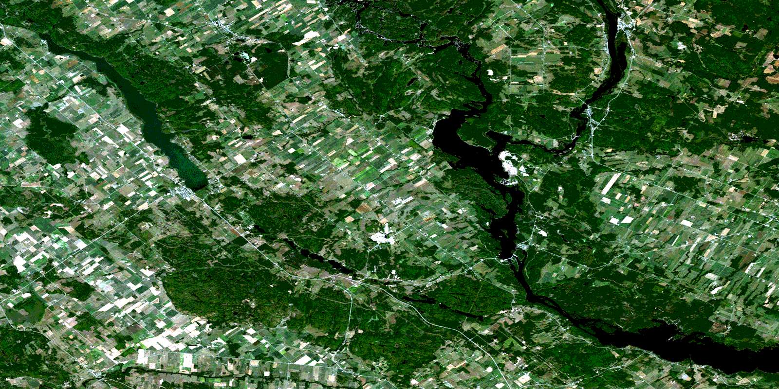
Cobden Satellite Imagery
To view this satellite map, mouse over the air photo on the right.
You can also download this satellite image map for free:
031F10 Cobden high-resolution satellite image map.
Maps for the Cobden aerial map sheet 031F10 at 1:50,000 scale are also available in these versions:
Cobden Surrounding Area Aerial Photo Maps
 |
 |
 |
 |
 |
 |
 |
 |
 |
 |
 |
 |
 |
 |
 |
 |
© Department of Natural Resources Canada. All rights reserved.
Cobden Gazetteer
The following places can be found on satellite image map 031F10 Cobden:
Cobden Satellite Image: Bays
Baie à ArmstrongBaie à Crawford
Baie à Heath
Baie à John
Baie à Pryer
Baie à Wickens
Baie Cowley
Baie de Campbell's Bay
Baie de Georges
Baie de Letts
Baie Féline
Baie Harmony
Baie Indian
Baie Miller
Baie Sand
Baie Thompson
Black Bay
Blackburn Bay
Boyds Bay
Browns Bay
Bruces Bay
Bulmers Bay
Chenal Letts
Conroy Bay
Crique à Lasalle
Crique à McDowell
Crique à Rouleau
Crique à Scott
Crique à Smith
Dead Bay
Dickson Bay
Dicksons Bay
Farrell Bay
Farrells Bay
Ferguson Bay
Fergusons Bay
Johnston Bay
Johnstons Bay
Killoran Bay
Lac à Campbell
Lesters Bay
Lily Bay
McNaughton Bay
Toweys Bay
Cobden Satellite Image: Beaches
Les SablesPlage de Le Roy
Cobden Satellite Image: Capes
Bices PointBisset Point
Bulless Point
Byces Point
Codies Point
Coffeys Point
Coties Point
Farrells Point
McConeghys Point
McCourters Point
McCrearys Point
McEwans Point
McEwens Point
Pointe à McCuaig
Pointe Green
Cobden Satellite Image: Channels
Canal SlideChenal du Grand Calumet
Chenal du Rocher Fendu
Chenal du Rocher-Fendu
Chenal Raft
Raft Channel
The Narrows
Cobden Satellite Image: Falls
Chute à DesjardinsChute à Garvin
Chute Beauchamp
Chute du Grand Calumet
First Chute
Cobden Satellite Image: Geographical areas
AdmastonBromley
Clarendon
Grand-Calumet
Horton
L'Immaculée-Conception
L'Immaculée-Conception
Litchfield
McNab
Ross
Sainte-Anne
Saint-James
Saint-John-the-Evangelist
Stafford
Thorne
Westmeath
Wilberforce
Cobden Satellite Image: Hydraulic construction
Barrage de BrysonCentrale de Bryson
Cobden Satellite Image: Islands
Big Elbow IslandCedar Island
Chenaux Island
Hazelton Island
Île à Cowley
Île à Everill
Île à Griffin
Île à Lawn
Île à Payne
Île à Rouleau
Île à Tom
Île Armstrong
Île Boom
Île Channel
Île de la Compagnie
Île Dog
Île du Calumet
Île du Chicot
Île du Grand Calumet
Île du Rocher Fendu
Île Elliott
Île Fox
Île French
Île Green
Île Hemlock
Île Lafontaine
Île Lasalle
Île Limerick
Île Reid
Île Snake
Île Victoria
Île Wickens
Îles à Cole
Îles Kennedy
Lorne Island
Petite île Limerick
Rocher à Gillis
Cobden Satellite Image: Lakes
Astrolabe LakeBaie Default
Baie Dufault
Baie Worrell
Barrs Lake
Bennetts Lake
Blanchards Lake
Catharine Lake
Champlain Trail Lakes
Clubhouse Lake
Coldingham Lake
Crique à Bertrand
Dump Lake
Eadys Lake
Edmunds Lake
Étang de Hart
Étang Neville
Galilee Lake
Garden Lake
Gibsons Lake
Jeffreys Lake
Jeffreys Lake
Johnstons Lake
Lac à Armstrong
Lac à Chamberlain
Lac à Horner
Lac à Martin
Lac à McArthur
Lac à Prendergast
Lac Clark
Lac des Chats
Lac des Chats
Lac du Don
Lac du Don
Lac du Rocher Fendu
Lac du Rocher-Fendu
Lac Ebert
Lac Elliott
Lac Kelly
Lac Lett
Lac Marcel
Lac McNally
Lac Mill Dam
Lac Paul
Lac Richardson
Lac Richardson
Lac Schwartz
Lac Smiley
Lac Spring
Lac Towell
Little Lakes
McCarrolls Lake
Muskrat Lake
Obreys Lake
Olmstead Lake
Olmsted Lake
Olmsted Lake
Porter Lake
Pumphouse Lake
Roubles Lake
Shea Lake
Smiths Lake
Stones Lake
Town Lake
Waites Lake
Yuills Lake
Cobden Satellite Image: Miscellaneous
Halte de Campbell's BayCobden Satellite Image: Mountains
Bonnechere RidgeByers Hill
Colline Brûlée
Dunns Hill
Grants Ridge
Harris Hill
Lake Doré Hills
MacKenzies Hill
McPetes Hill
Montagne à Chevalier
Montagne à Jolicoeur
Montagne Corriveau
Pigeon Hill
Quarry Hill
Rocher Blanc
Smugglers Hill
Spences Hill
Sturgeon Mountain
Cobden Satellite Image: Major municipal/district area - major agglomerations
OutaouaisPontiac
Cobden Satellite Image: Other municipal/district area - miscellaneous
AdmastonAdmaston/Bromley
Alice and Fraser
Bonnechere Valley
Bromley
District judiciaire de Pontiac
Grattan
Horton
Laurentian Valley
McNab
McNab/Braeside
North Algona
North Algona Wilberforce
Pembroke
Ross
Sebastopol
South Algona
Stafford
Stafford and Pembroke
Westmeath
Whitewater Region
Wilberforce
Cobden Satellite Image: Conservation areas
Hawkins Property Conservation ReserveOttawa River Provincial Park
Parc Brosseau
Parc Cadieux
Parc de la Jeunesse
Snake River Marsh Conservation Reserve
Cobden Satellite Image: Provinces
OntarioQuebec
Cobden Satellite Image: Rapids
Black RapidsChute à Mulroney
Chute de la Montagne
Chute du Rocher Fendu
Flat Rapids
La Barrière
La Barriere Rapids
Le Tombereau
Long Rapids
Mice Rapids
Muskrat Rapids
Norman Rapids
Rapide du Rocher-Fendu
Rapides Black
Rapides Butcher's Knife
Rapides Dargis
Rapides D'Argis
Rapides des Chenaux
Rapides du Rocher Fendu
Rapides du Sable
Rapides Flat
Rapides Long
Rapides Mice
Rapides Muskrat
Rapides Norman
Cobden Satellite Image: Rivers
Bonnechere RiverBroomes Creek
Buttermilk Creek
Crique à Chevalier
Crozier Creek
Harris Creek
Kasaboski Creek
Little Halliday Creek
Locha Creek
Lochay Creek
Lochiel Creek
McLarens Creek
Mink Creek
Muskrat River
Ottawa River
Pettigrews Creek
Rivière des Outaouais
Rivière des Outaouais
Rivière Ottawa
Ruisseau à Birch
Ruisseau à McCord
Ruisseau à Prendergast
Ruisseau à Pryer
Ruisseau Armstrong
Ruisseau Beauchamp
Ruisseau Black
Ruisseau Carswell
Ruisseau Desclaches
Ruisseau du Moulin
Ruisseau McLennan
Ruisseau Mill Dam
Ruisseau Stevenson
Ruisseau Wilson
Snake River
Cobden Satellite Image: Road features
Pont du Ruisseau-à-BirchPont Monseigneur-Martel
Sentier John-Carmen-McCallum
Cobden Satellite Image: Towns
BrysonCampbell's Bay
Portage-du-Fort
Shawville
Cobden Satellite Image: Unincorporated areas
BeachburgBromley
Bryson
Campbell's Bay
Castleford
Chenaux
Chute-du-Grand-Calumet
Clarendon
Clarendon Front
Clarendon Station
Cobden
Connaught
Dardanelles
Douglas
Duffyville
Dunmore
Dunraven
Fergusons Beach
Foresters Falls
Garden of Eden
Grants Settlement
Haley Station
Hills
Kerr Line
La Montagne
Larawls
Lawn
Le Faubourg
Le Rocher-Fendu
Ledgerwoods Corner
L'Île-du-Grand-Calumet
L'Île-du-Grand-Calumet
McLarens Settlement
Meath
Millars Corner
Morehead
Murrell
North Clarendon
Northcote
Osceola
Pastime
Pied-du-Calumet
Pine Valley
Portage-du-Fort
Portage-du-Fort
Queens Line
Radford
Rapides-du-Rocher-Fendu
Rosebank
Ross
Rox
Sand Bay
Shawville
Shields
Shields Crossing
Snake River
Starks Corners
Tancredia
The Glen
Wolftown
Zion Line
Cobden Satellite Image: Low vegetation
La PlaineMarais Lunam
Snake River Marsh
Upper Osceola Marsh
Cobden Satellite Image: Villages
BrysonCampbell's Bay
Clarendon
Clarendon
Grand-Calumet
Grand-Calumet
L'Île-du-Grand-Calumet
Litchfield
Litchfield
Shawville
Thorne
© Department of Natural Resources Canada. All rights reserved.
