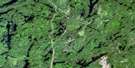
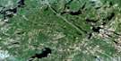
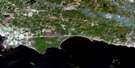
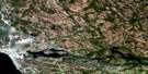
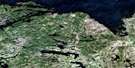
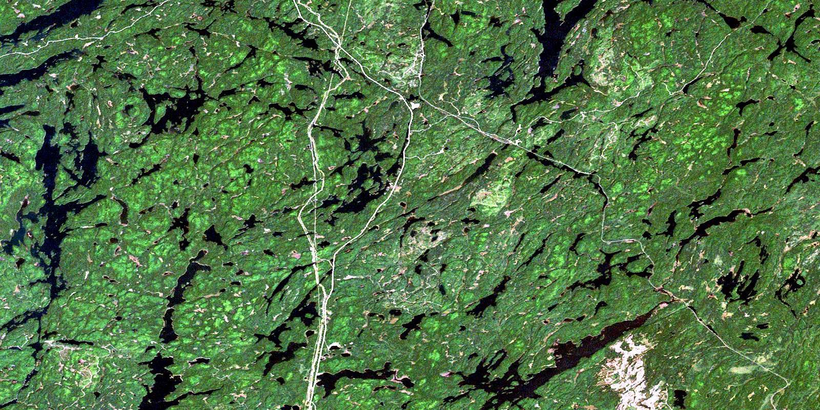
Ingall Lake Satellite Image Map
Download Free Aerial Photo 031L13 at 1:50,000 scale
Ingall Lake Satellite Imagery
To view this satellite map, mouse over the air photo on the right.
You can also download this satellite image map for free:
031L13 Ingall Lake high-resolution satellite image map.
Maps for the Ingall Lake aerial map sheet 031L13 at 1:50,000 scale are also available in these versions:
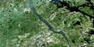
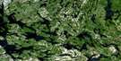
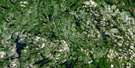
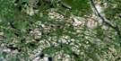
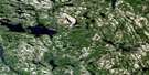
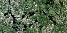
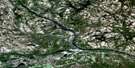
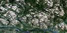
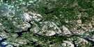
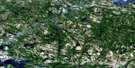
Ingall Lake Surrounding Area Aerial Photo Maps
 |
 |
 |
 |
 |
 |
 |
 |
 |
 |
 |
 |
 |
 |
 |
 |
© Department of Natural Resources Canada. All rights reserved.
Ingall Lake Gazetteer
The following places can be found on satellite image map 031L13 Ingall Lake:
Ingall Lake Satellite Image: Bays
Amphibolite BayCross Bay
Dewy Bay
Leonard Inlet
Northeast Arm
Northwest Bay
Shiningwood Bay
Southeast Bay
Southwest Bay
Ingall Lake Satellite Image: Capes
Rabbit PointIngall Lake Satellite Image: Channels
Mackenzie NarrowsIngall Lake Satellite Image: Geographical areas
AngusAskin
Briggs
Burnaby
Eldridge
Flett
Gooderham
Hartle
Hebert
Kenny
La Salle
Law
McCallum
Milne
Nipissing
Olive
Riddell
Sisk
Strathcona
Torrington
Yates
Ingall Lake Satellite Image: Islands
Boat IslandsBoy Island
Campfire Island
Field Island
Guide Island
McKinlay Island
Monahan Island
Ingall Lake Satellite Image: Lakes
Alice LakeAngus Lake
Belanger Lake
Boyce Lake
Breadalbane Lake
Broom Lake
Brophy Lake
Burwash Lake
Bush Lake
Chokecherry Lake
Christy Lake
Cross Lake
Denedus Lake
Dennis Lake
Desperation Lake
Driftwood Lake
Dwy Lake
Expectation Lake
Fall Lake
Fanny Lake
Field Lake
Flapjack Lake
Forlise Lake
Frances Lake
Frankish Lake
Frawley Lake
Gravel Pit Pond
Greenlaw Lake
Hangstone Lake
Hartle Lake
Herridge Lake
Hidden Lake
Hornet Lake
Iceland Lake
Ingall Lake
Intersection Lake
Jumping Cariboo Lake
Kettle Lake
Lac des Cèdres
Lake Temagami
Lake Timagami
Lambert Lake
Le Tret Lake
Lower Redwater Lake
Lower Twin Lake
Lowery Lake
Lowry Lake
Mackenzie Lake
Mann Lake
Marian Lake
Maxam Lake
McAdam Lake
McDiarmid Lake
Miller Lake
Milne Lake
Moosehead Lake
Mud Lake
Norris Lake
North Milne Lake
Olier Lake
Olive Lake
Opechee Boys Lake
Opechee Lake
Packsack Lake
Pan Lake
Pancake Lake
Panet Lake
Pig Lake
Pot Lake
Pozniak Lake
Quenneville Lake
Rabbit Lake
Rankin Lake
Red Canoe Lake
Red Cedar Lake
Reuben Lake
Robin Lake
Ross Lake
Ruth Lake
Salvation Lake
Simpson Lake
Smith Lake
Snowshoe Lake
Surveyor Lake
Tent Lake
Threeportage Lake
Twinsister Lake
Upper Redwater Lake
Upper Twin Lake
Waha Lake
Wasaksina Lake
Wicksteed Lake
Willis Lake
Wilson Lake
Wolf Lake
Ingall Lake Satellite Image: Conservation areas
Gooderham Old Growth White Pine Forest Conservation ReserveKenny Forest Provincial Park
Rabbit Lake West Conservation Reserve
Temagami River Provincial Park
Ingall Lake Satellite Image: Rivers
Angus CreekCariboo Creek
Fall Creek
Frances Creek
Herridge Creek
Mackenzie Creek
Marian Creek
Opechee Creek
Ottertail Creek
Panet Creek
Rabbit Creek
Rivière Témagami
Ruth Creek
Temagami River
Timagami River
Ingall Lake Satellite Image: Towns
TemagamiIngall Lake Satellite Image: Unincorporated areas
BushnellDoherty
Kenney
Redwater
© Department of Natural Resources Canada. All rights reserved.
031L Related Maps:
031L North Bay031L01 Brent
031L02 Kiosk
031L03 Powassan
031L04 Nipissing
031L05 Sturgeon Falls
031L06 North Bay
031L07 Mattawa
031L08 Riviere Maganasipi
031L09 Lac Bleu
031L10 Lac Beauchene
031L11 Temiscaming
031L12 Marten Lake
031L13 Ingall Lake
031L14 Ottertail Creek
031L15 Lac Grindstone
031L16 Lac Sairs
