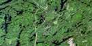
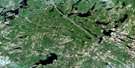
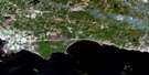
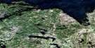
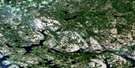
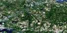
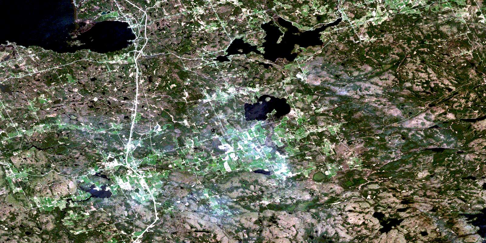
Powassan Satellite Image Map
Download Free Aerial Photo 031L03 at 1:50,000 scale
Powassan Satellite Imagery
To view this satellite map, mouse over the air photo on the right.
You can also download this satellite image map for free:
031L03 Powassan high-resolution satellite image map.
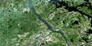
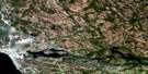
Maps for the Powassan aerial map sheet 031L03 at 1:50,000 scale are also available in these versions:
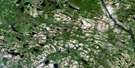
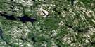
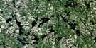
Powassan Surrounding Area Aerial Photo Maps
 |
 |
 |
 |
 |
 |
 |
 |
 |
 |
 |
 |
 |
 |
 |
 |
© Department of Natural Resources Canada. All rights reserved.
Powassan Gazetteer
The following places can be found on satellite image map 031L03 Powassan:
Powassan Satellite Image: Bays
Callander BayDeep Bay
Deep Bay
Maple Cove
South Bay
Sunset Cove
Tillicum Bay
Powassan Satellite Image: Beaches
Lighthouse BeachPowassan Satellite Image: Capes
Burford PointDeepwater Point
McConnell Point
Shields Point
Powassan Satellite Image: Channels
Centre ChannelMain Channel
North Channel
The Narrows
Powassan Satellite Image: City
North BayPowassan Satellite Image: Falls
Bingham ChuteCorkery Chute
Elliott Chute
McNab Chute
Sloman Chute
Wasi Falls
Powassan Satellite Image: Geographical areas
BallantyneBonfield
Boulter
Calvin
Chisholm
East Ferris
Ferris
Gurd
Himsworth
Nipissing
Nipissing
North Himsworth
Parry Sound
South Himsworth
West Ferris
Wilkes
Powassan Satellite Image: Islands
Berry IslandBowles Island
Darling Island
East Morrison Island
Grand Trunk Island
Hamel Island
Henrietta Island
McPherson Island
Morrison Island
Perron Island
Smith Island
Sumach Island
Sumack Island
Sweetbriar Island
Victoria Island
Powassan Satellite Image: Lakes
Barbe LakeBoon Lake
Busch Lake
Dog Lake
Fassett Lake
Genesee Lake
Graham Lake
Gros lac Martin
Guilmette Lake
Kakasamic Lake
Keswil Lake
Kilrush Lake
Lac Clair
Lac Guilmette
Lac Nipissing
Lac Nosbonsing
Lac Pascal
Lac Tortue
Lac Wasi
Lake Nipissing
Lake Nosbonsing
Leatherleaf Lake
Lena Lake
Little Clear Lake
Little Twin Lakes
Loon Lake
Manitou Lake
McQuoid Lake
Mink Lake
North Martin Lake
Pascal Lake
Petits lacs Cachés
Pond Lake
Shad Lake
Shada Lake
Sobie Lake
Sparks Lake
Tea Lake
Turtle Lake
Wasi Lake
Wilkes Lake
Wistiwasing Lake
Powassan Satellite Image: Other municipal/district area - miscellaneous
BonfieldChisholm
East Ferris
Ferris
Himsworth North
Himsworth South
Nipissing
Powassan Satellite Image: Conservation areas
Algonquin Provincial ParkBoulter-Depot Creek Conservation Reserve
Callander Bay Wetland Conservation Reserve
Sausage Lake Forest Conservation Reserve
Powassan Satellite Image: Rivers
Bear CreekBeatty Creek
Blueseal Creek
Boleau Creek
Boulder Creek
Burford Creek
Depot Creek
Genesee Creek
Graham Creek
Kaibuskong River
Kakasamic Creek
Keswil Creek
La Vase River
McGillvray Creek
Nosbonsing River
Rivière Wasi
Ruisseau Bouleau
Sharpes Creek
South River
Sparks Creek
Wasi River
Windsor Creek
Wistiwasing River
Wolfe Creek
Powassan Satellite Image: Shoals
Three SistersPowassan Satellite Image: Towns
PowassanPowassan Satellite Image: Unincorporated areas
AlderdaleAstorville
Astorville Station
Bonfield
Booth
Booth Landing
Callander
Champlain Park
Chiswick
Christian Valley
Derland
Dog Lake
Fossmill
Genesee Rapids
Glenn
Grahamvale
Grand-Désert
Great Desert
Hills
Hills Siding
Himsworth
Kells
Kilrush
Nosbonsing
Powassan
Storie
Wasing
Wasing Station
Wisawasa
Powassan Satellite Image: Valleys
Christian ValleyHazel Glen
© Department of Natural Resources Canada. All rights reserved.
031L Related Maps:
031L North Bay031L01 Brent
031L02 Kiosk
031L03 Powassan
031L04 Nipissing
031L05 Sturgeon Falls
031L06 North Bay
031L07 Mattawa
031L08 Riviere Maganasipi
031L09 Lac Bleu
031L10 Lac Beauchene
031L11 Temiscaming
031L12 Marten Lake
031L13 Ingall Lake
031L14 Ottertail Creek
031L15 Lac Grindstone
031L16 Lac Sairs
