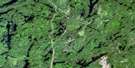
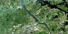
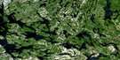
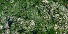
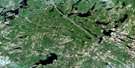
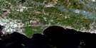
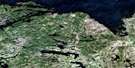
Temiscaming Satellite Image Map
Download Free Aerial Photo 031L11 at 1:50,000 scale
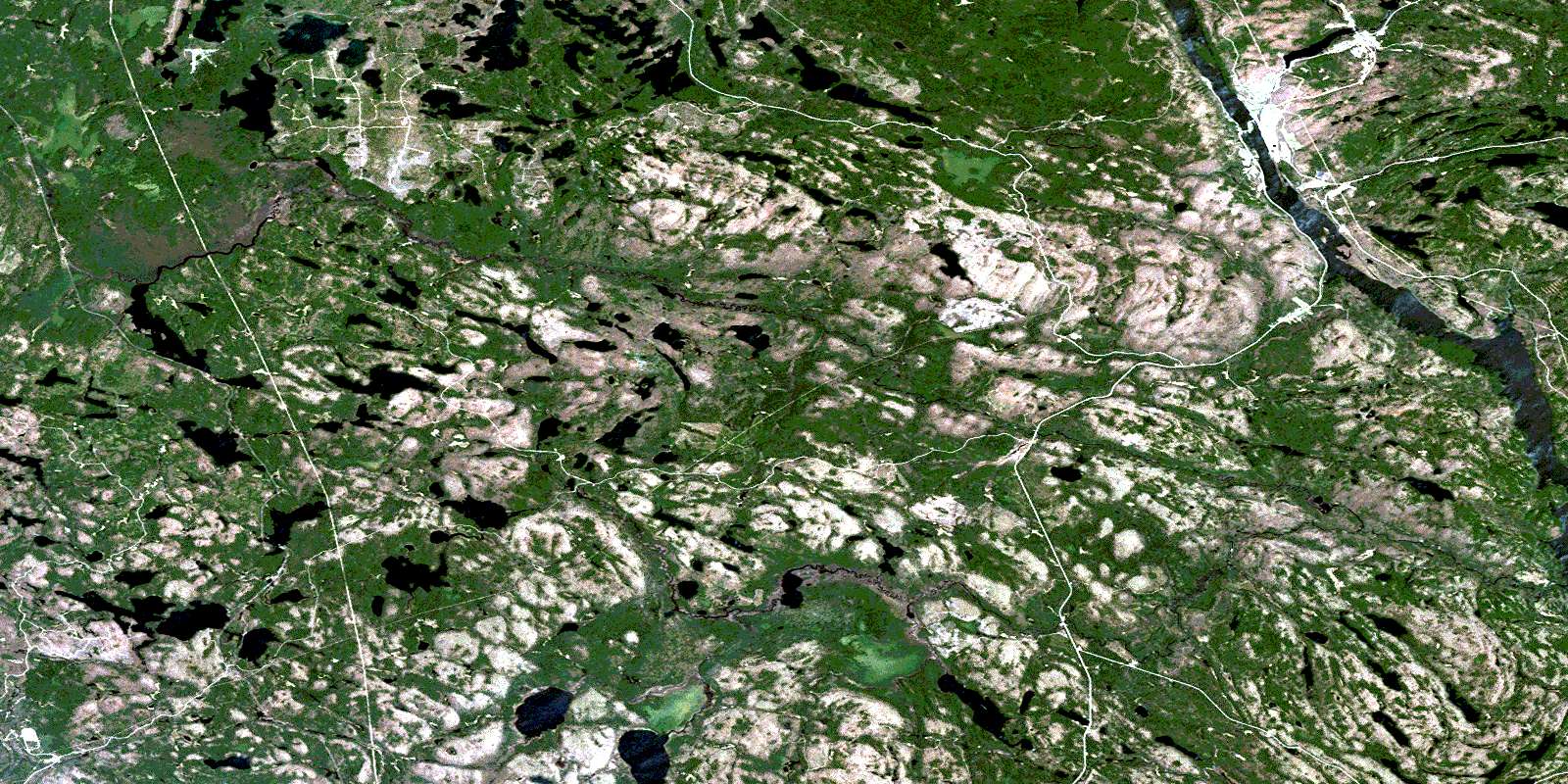
Temiscaming Satellite Imagery
To view this satellite map, mouse over the air photo on the right.
You can also download this satellite image map for free:
031L11 Temiscaming high-resolution satellite image map.
Maps for the Temiscaming aerial map sheet 031L11 at 1:50,000 scale are also available in these versions:
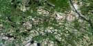
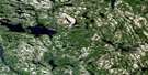
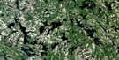
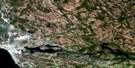
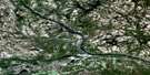
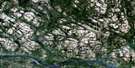
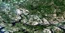
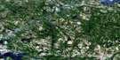
Temiscaming Surrounding Area Aerial Photo Maps
 |
 |
 |
 |
 |
 |
 |
 |
 |
 |
 |
 |
 |
 |
 |
 |
© Department of Natural Resources Canada. All rights reserved.
Temiscaming Gazetteer
The following places can be found on satellite image map 031L11 Temiscaming:
Temiscaming Satellite Image: Channels
Colton NarrowsTemiscaming Satellite Image: City
TémiscamingTemiscaming Satellite Image: Geographical areas
AntoineButler
Campeau
Clarkson
Eddy
French
Garrow
Gendreau
Jocko
La Salle
Lockhart
McAuslan
Merrick
Mulock
Nipissing
Notre-Dame-du-Lac
Osborne
Poitras
Sainte-Thérèse
Stewart
Wyse
Temiscaming Satellite Image: Hydraulic construction
Barrage du Lac-TémiscamingueTemiscaming Satellite Image: Lakes
Anderson LakeBanana Lake
Beaudry Lake
Biber Lake
Big McDougal Lake
Blue Lake
Boland Lake
Brûlé Lake
Burke Lake
Butler Lake
Campbell Lake
Charlie Lake
Crocan Lake
Dymond Lake
Ferguson Lake
Fournier Lake
Garrow Lake
Gros lac Keeler
Halfmile Lake
Halfmoon Lake
Island Lake
Jimmie Lake
Jocko Lake
Koko Lake
La Salle Lakes
Lac à l'Eau Claire
Lac Arc-en-Ciel
Lac aux Brochets
Lac aux Castors
Lac Beauchêne
Lac Bob-Cat
Lac des Sept Lieues
Lac England
Lac Foley
Lac Jadot
Lac la Cave
Lac la Cave
Lac Long
Lac Obashing
Lac Orignal
Lac Rock Dam
Lac Seven League
Lac Taggart
Lac Tank
Lac Témiscamingue
Lac Témiscamingue
Lake Timiskaming
Langevin Lake
Little Jocko Lake
Little McDougal Lake
Little Rock Lake
Little Sucker Lake
Little Tomiko Lake
Malone Lake
McConnell Lake
McDougal Lake
Miners Lake
Mitchell Lake
Moose Lake
Mug Lake
Mulock Lake
Notman Lake
Perchfin Lake
Petit lac Groulx
Petit lac Keeler
Pine Lake
Pinewater Lake
Pole Lake
Reynolds Lake
Sabourin Lake
Salt Lake
Salter Lake
Serene Lake
Seven League Lake
Smoky Lake
Sparks Lake
Spring Lake
Sturgeon Lake
Sucker Lake
Susy Lake
Threetrails Lake
Timber Lake
Tower Lake
Tremblay Lake
Twin Lakes
Valin Lake
White Lake
Wyse Lake
Temiscaming Satellite Image: Miscellaneous
PembrokeTemiscaming Satellite Image: Conservation areas
Blue Lake End Moraine Conservation ReserveJocko Rivers Provincial Park
Temiscaming Satellite Image: Rapids
Crooked RapidsDevils Eddy
Flat Rapids
Foot of Rapids
Fournier Rapids
Long Sault Rapids
Temiscaming Satellite Image: Rivers
Anderson CreekBlack Duck Creek
Fournier Creek
Fournier River
Francis Creek
Hanson Creek
Jocko River
Little Fournier Creek
Little Fournier River
Little Jocko River
Little Pinewater Creek
Little Tomiko River
McDougal Creek
Ottawa River
Pinewater Creek
Pinewater Creek
Rivière Beauchêne
Rivière des Outaouais
Rivière des Outaouais
Rivière Ottawa
Ruisseau du Lac Rock Dam
Ruisseau Gordon
Ruisseau Keeler
Ruisseau Tank
Sucker Creek
Tuque Creek
Valin Creek
Temiscaming Satellite Image: Unincorporated areas
BeauchêneEldee
Gendreau
Grimmer
Jocko
Jocko River
Ketchen
Le Petit-Canada
Letang
Lumsden's Mill
Osborne
Tee Lake
Témiscaming
Thorne
Tomiko
Wyse
Temiscaming Satellite Image: Villages
KipawaLetang
© Department of Natural Resources Canada. All rights reserved.
031L Related Maps:
031L North Bay031L01 Brent
031L02 Kiosk
031L03 Powassan
031L04 Nipissing
031L05 Sturgeon Falls
031L06 North Bay
031L07 Mattawa
031L08 Riviere Maganasipi
031L09 Lac Bleu
031L10 Lac Beauchene
031L11 Temiscaming
031L12 Marten Lake
031L13 Ingall Lake
031L14 Ottertail Creek
031L15 Lac Grindstone
031L16 Lac Sairs
