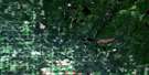
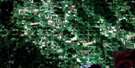
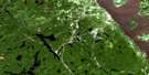
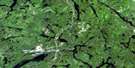
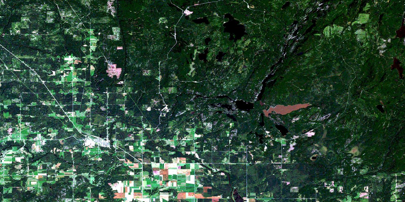
Englehart Satellite Image Map
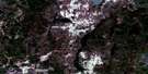
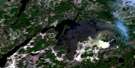
Download Free Aerial Photo 031M13 at 1:50,000 scale
Englehart Satellite Imagery
To view this satellite map, mouse over the air photo on the right.
You can also download this satellite image map for free:
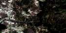
031M13 Englehart high-resolution satellite image map.
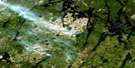
Maps for the Englehart aerial map sheet 031M13 at 1:50,000 scale are also available in these versions:
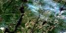
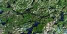
Englehart Surrounding Area Aerial Photo Maps
 |
 |
 |
 |
 |
 |
 |
 |
 |
 |
 |
 |
 |
 |
 |
 |
© Department of Natural Resources Canada. All rights reserved.
Englehart Gazetteer
The following places can be found on satellite image map 031M13 Englehart:
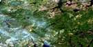
Englehart Satellite Image: Channels
Swift WaterEnglehart Satellite Image: Falls
Eighty Foot FallsFirst Falls
Fourth Falls
High Falls
Horseshoe Falls
Sunday Creek Falls
Teddy's Falls
Wendigo Falls
Englehart Satellite Image: Geographical areas
ArmstrongBayly
Beauchamp
Brethour
Catharine
Chamberlain
Dack
Dufay
Evanturel
Hilliard
Ingram
Marter
Montreuil
Mulligan
Pacaud
Pense
Pontleroy
Rattray
Skead
Timiskaming
Englehart Satellite Image: Islands
Weekes IslandEnglehart Satellite Image: Lakes
Beaver LakeBenson Lake
Big Moose Lake
Clear Lake
Costello Lake
Crystal Lake
Dawson Lake
Ginn Lake
Gravenor Lake
Hamel's Pond
Icefish Lake
Iron Lake
Kearney Lake
Lac Laberge
Lac Pontleroy
Little Moose Lake
Long Lake
Mageau Lake
Mallard Lake
Margaret Lake
Marion Lake
McLean Pond
Miller Lake
Miron Lake
Montague Lake
Mud Lake
Mulligan Lake
Old Moose Pond
Pense Lake
Rattray Lake
Shepherd Lake
Skead Lake
Skeleton Lake
Skeletonpup Lake
Skidoo Lake
St. Anthony Lake
Turtle Lake
Ward Lake
Wendigo Lake
Englehart Satellite Image: Mountains
Dunbar RockMcConnell Rock
Sand Ridge
Trestle Hill
Englehart Satellite Image: Other municipal/district area - miscellaneous
ArmstrongBrethour
Chamberlain
Charlton and Dack
Dack
Evanturel
Larder Lake
Englehart Satellite Image: Conservation areas
East Larder River Bedrock Conifer Conservation ReserveHilliardton Marsh Conservation Reserve
Kap-Kig-Iwan Provincial Park
Larder River Waterway Provincial Park
Englehart Satellite Image: Rapids
Court RapidsFlat Rapids
Garnett's Rapids
Hell's Gate
Nuisance Rapids
Stuart's Rapids
Englehart Satellite Image: Rivers
Aidie CreekAlligator Creek
Armstrong Creek
Benson Creek
Blanche River
Boston Creek
Crocodile Creek
Elkhorn Creek
Englehart River
Englehart River
Evanturel Creek
Flanagan Creek
Grahams Creek
Ingram Creek
Julian Creek
Larder River
Little Otterskin Creek
Little Skeleton Creek
Misema River
Moosehorn Creek
Pontleroy Creek
Rivière Laberge
Rivière Laberge
Ruisseau Armstrong
Ruisseau Julian
Ruisseau Pontleroy
Skeleton Creek
Smith Creek
Spring Creek
St. Jean Baptiste Creek
Sunday Creek
Taylor Creek
Englehart Satellite Image: Shoals
Ash's RockEnglehart Satellite Image: Towns
EnglehartEnglehart Satellite Image: Unincorporated areas
BrenthaChamberlain
Charlton
Charlton Station
Dack
Englehart North
Errettsville
Gerlach
Heaslip
Kadman
Krugerdorf
Marshall's Corners
Marter
Mindoka
South Mindoka
Tomstown
Wawbewawa
Wendigo Lake
Englehart Satellite Image: Low vegetation
Hilliardton SwampMargaret Swamp
© Department of Natural Resources Canada. All rights reserved.
031M Related Maps:
031M Ville-Marie031M01 Lac Ogascanane
031M02 Lac Ostaboningue
031M03 Fabre
031M04 Temagami
031M05 Cobalt
031M06 Ville-Marie
031M07 Belleterre
031M08 Lac Winawiash
031M09 Lac Nodier
031M10 Lac Simard
031M11 Angliers
031M12 New Liskeard
031M13 Englehart
031M14 Lac Barriere
031M15 Lac Roger
031M16 Lac Mourier
