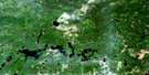
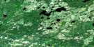
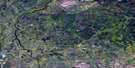
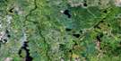
Hanlan Lake Satellite Image Map
Download Free Aerial Photo 042G13 at 1:50,000 scale
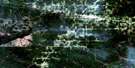
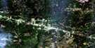
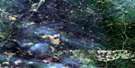
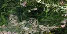
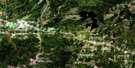
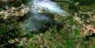
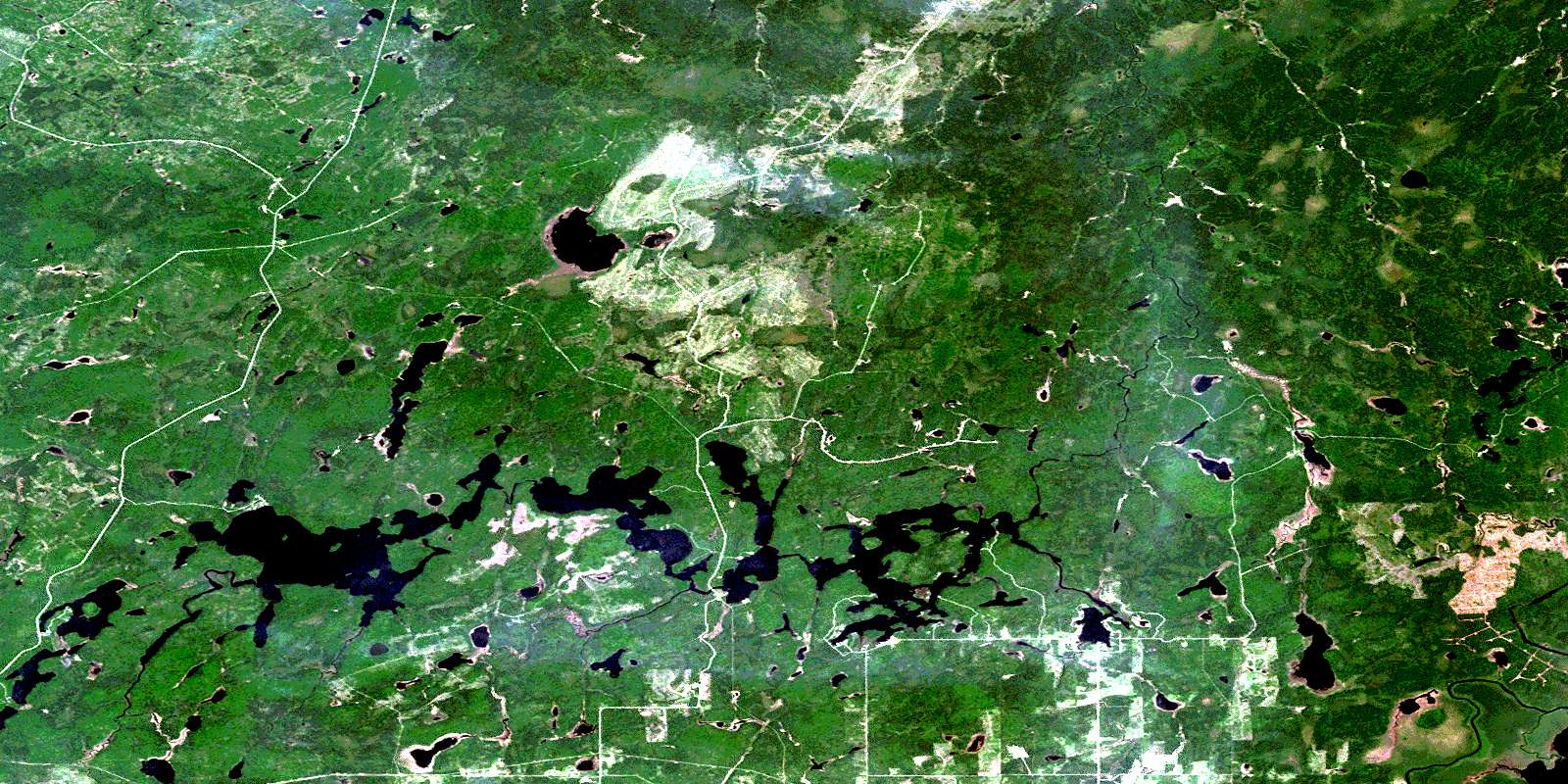
Hanlan Lake Satellite Imagery
To view this satellite map, mouse over the air photo on the right.
You can also download this satellite image map for free:
042G13 Hanlan Lake high-resolution satellite image map.
Maps for the Hanlan Lake aerial map sheet 042G13 at 1:50,000 scale are also available in these versions:
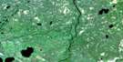
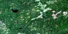
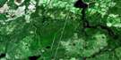
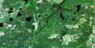
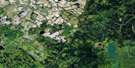
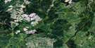
Hanlan Lake Surrounding Area Aerial Photo Maps
 |
 |
 |
 |
 |
 |
 |
 |
 |
 |
 |
 |
 |
 |
 |
 |
© Department of Natural Resources Canada. All rights reserved.
Hanlan Lake Gazetteer
The following places can be found on satellite image map 042G13 Hanlan Lake:
Hanlan Lake Satellite Image: Bays
Arkinstall BayBaie des Veilleux
Bennet Bay
Gosselin's Bay
Lilypad Bay
Veilleux's Bay
West Bay
West's Bay
Hanlan Lake Satellite Image: Capes
Indian PointStenabough's Point
Table Rock
Hanlan Lake Satellite Image: Channels
Hanlan NarrowsPivabiska Narrows
Piwabiskau Narrows
Hanlan Lake Satellite Image: Geographical areas
BannermanCasgrain
Fushimi
Hanlan
Ritchie
Stoddart
Hanlan Lake Satellite Image: Islands
Fontaine's IslandPellow's Island
Hanlan Lake Satellite Image: Lakes
Banks LakeBannerman Lake
Casgrain Lake
Cayer Lake
Clear Lake
Ferland's Lake
Fox Lake
French Lake
Fushimi Lake
Hanlan Lake
Holland Lake
Joe's Lake
Kennedy Lake
Lac Casgrain
Lac Pivabiska
Lac Ritchie
Lac Ste.-Thérèse
Little Casgrain Lake
Little Grassy Lake
Little Wolverine Lake
Mattawishkwia Lake
Papillion's Lake
Papillon's Lake
Penhall Lake
Pivabiska Lake
Piwabiskau Lake
Ritchie Lake
Scholes Lake
Ste. Therese Lake
Ste. Thérèse Lake
Stoddart Lake
The Expansion
Twin Lakes
Wolverine Lake
Hanlan Lake Satellite Image: Conservation areas
Fushimi Lake Provincial ParkSte. Thérèse Ground Moraine Conservation Reserve
Hanlan Lake Satellite Image: Rapids
Spawning RapidsHanlan Lake Satellite Image: Rivers
Brulé CreekCarey Creek
Casgrain Creek
Cayer Creek
Fox River
French Creek
Holland Creek
Little Mattawishkwia River
Mattawishkwia River
Papillon's Creek
Penhall Creek
Pivabiska River
Renesig Creek
Ritchie Creek
Ryland Creek
Ryland Creek
Scholes Creek
Scholes Creek
Ste. Therese Creek
Ste.-Thérèse Creek
Ste.-Thérèse Creek
Stoddart Creek
The Chutes
Valentine River
Wolverine Creek
Hanlan Lake Satellite Image: Unincorporated areas
Fontaine's LandingLac-Ste-Thérèse
Marina Veilleux
Veilleux's Landing
© Department of Natural Resources Canada. All rights reserved.
042G Related Maps:
042G Kapuskasing042G01 Wakusimi River
042G02 Woman Falls
042G03 Opasatika Lake
042G04 Roche Lake
042G05 Mead
042G06 Rock River
042G07 Val Rita
042G08 Kapuskasing
042G09 Pearce Lake
042G10 Opasatika
042G11 Mattice
042G12 Hearst
042G13 Hanlan Lake
042G14 Shannon Lake
042G15 Hillmer Lake
042G16 Bennet Lake
