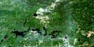
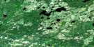
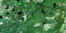
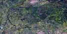
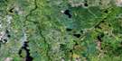
Bennet Lake Satellite Image Map
Download Free Aerial Photo 042G16 at 1:50,000 scale
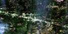
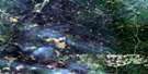
Bennet Lake Satellite Imagery
To view this satellite map, mouse over the air photo on the right.
You can also download this satellite image map for free:
042G16 Bennet Lake high-resolution satellite image map.
Maps for the Bennet Lake aerial map sheet 042G16 at 1:50,000 scale are also available in these versions:
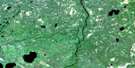
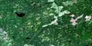
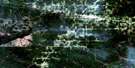
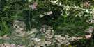
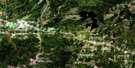
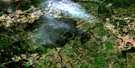
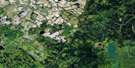
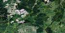
Bennet Lake Surrounding Area Aerial Photo Maps
 |
 |
 |
 |
 |
 |
 |
 |
 |
 |
 |
 |
 |
 |
 |
 |
© Department of Natural Resources Canada. All rights reserved.
Bennet Lake Gazetteer
The following places can be found on satellite image map 042G16 Bennet Lake:
Bennet Lake Satellite Image: Falls
Dike FallsIndian Signs Falls
Opasatika Canyon Falls
Peoni Chute
Bennet Lake Satellite Image: Geographical areas
BoyleBradley
Clay
Cockshutt
Guilfoyle
Haney
Harmon
Hopkins
Howells
McKnight
Mowbray
Weichel
Bennet Lake Satellite Image: Islands
Goose IslandBennet Lake Satellite Image: Lakes
Ballantyne LakeBennet Lake
Boyle Lake
Guilfoyle Lake
Iphigene Lake
Mowbray Lake
Neshin Lake
Bennet Lake Satellite Image: Conservation areas
Ballantyne Lake Drumlins Conservation ReservesBennet Lake Esker Kame Complex Conservation Reserve
Bennet Lake Satellite Image: Rapids
Devils RapidsBennet Lake Satellite Image: Rivers
Adam CreekBennet Creek
Boyle Creek
Boyle Creek
Bradley Creek
Cockshutt Creek
Cosen Creek
Currie Creek
Guilfoyle Creek
Hopkins Creek
Kapuskasing River
Lemon Creek
Mattagami River
Mowbray Creek
Nixon Creek
Opasatika River
Opazatika River
Rivière de Kapuskasing
Rivière Mattagami
Rivière Opasatika
Smith Creek
Torrance Creek
Tucker Creek
Bennet Lake Satellite Image: Valleys
Opasatika Canyon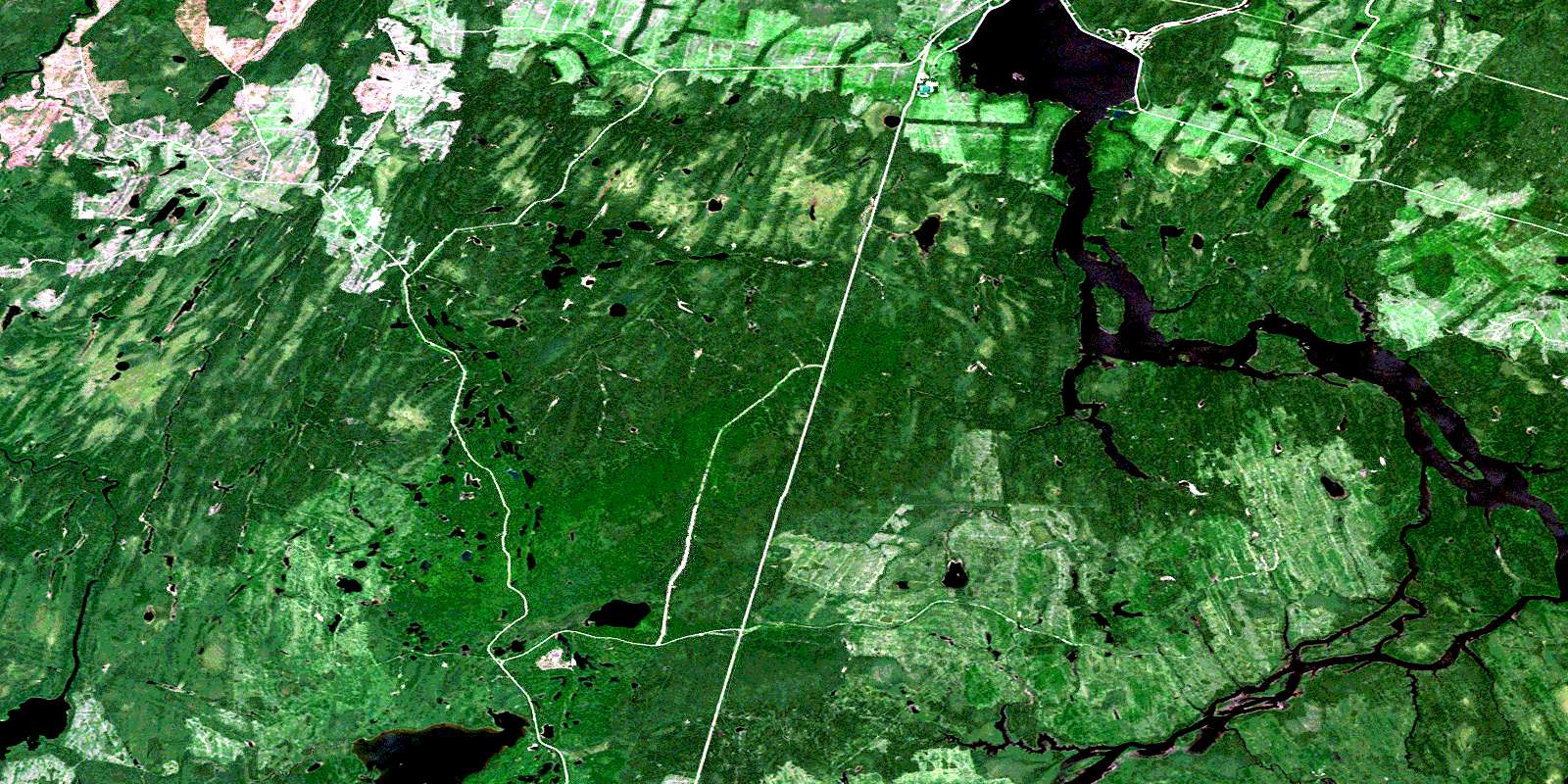
© Department of Natural Resources Canada. All rights reserved.
042G Related Maps:
042G Kapuskasing042G01 Wakusimi River
042G02 Woman Falls
042G03 Opasatika Lake
042G04 Roche Lake
042G05 Mead
042G06 Rock River
042G07 Val Rita
042G08 Kapuskasing
042G09 Pearce Lake
042G10 Opasatika
042G11 Mattice
042G12 Hearst
042G13 Hanlan Lake
042G14 Shannon Lake
042G15 Hillmer Lake
042G16 Bennet Lake
