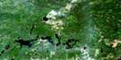
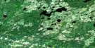
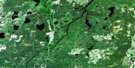
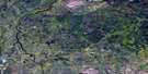
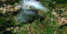
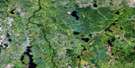
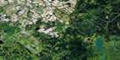
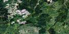
Rock River Satellite Image Map
Download Free Aerial Photo 042G06 at 1:50,000 scale
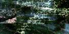
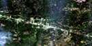
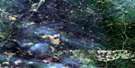
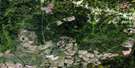
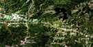
Rock River Satellite Imagery
To view this satellite map, mouse over the air photo on the right.
You can also download this satellite image map for free:
042G06 Rock River high-resolution satellite image map.
Maps for the Rock River aerial map sheet 042G06 at 1:50,000 scale are also available in these versions:
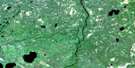
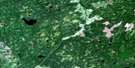
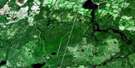
Rock River Surrounding Area Aerial Photo Maps
 |
 |
 |
 |
 |
 |
 |
 |
 |
 |
 |
 |
 |
 |
 |
 |
© Department of Natural Resources Canada. All rights reserved.
Rock River Gazetteer
The following places can be found on satellite image map 042G06 Rock River:
Rock River Satellite Image: Falls
Glass FallsGlassy Falls
Rock River Satellite Image: Geographical areas
BarkerCaithness
Ecclestone
Fergus
Magladery
McCrea
Orkney
Parnell
Rykert
Shearer
Shetland
Staunton
Rock River Satellite Image: Lakes
Sharp Rock LakeSouth Crow Lake
Rock River Satellite Image: Other municipal/district area - miscellaneous
OpasatikaRock River Satellite Image: Conservation areas
Missinaibi Provincial ParkRock River Satellite Image: Rapids
Albany RapidsBeaver Rapids
Big Beaver Rapids
Devil Rapids
Lower Beaver Rapids
Sharp Rock Rapids
Small Beaver Rapids
Three Brothers Rapids
Rock River Satellite Image: Rivers
Barker CreekFergus Creek
Kakashabike River
Magladery Creek
Mattawitchewan River
Missinaibi River
North Shetland Creek
Opasatika River
Opazatika River
Orkney Creek
Parnell Creek
Rivière Missinaibi
Rivière Opasatika
Rock River
Rykert Creek
Shetland Creek
South Crow Creek
Staunton Creek
Rock River Satellite Image: River features
Wilson BendRock River Satellite Image: Road features
Beaver PortageDevil Shoepack Portage
Sandy Bay Portage
Sharp Rock Portage

© Department of Natural Resources Canada. All rights reserved.
042G Related Maps:
042G Kapuskasing042G01 Wakusimi River
042G02 Woman Falls
042G03 Opasatika Lake
042G04 Roche Lake
042G05 Mead
042G06 Rock River
042G07 Val Rita
042G08 Kapuskasing
042G09 Pearce Lake
042G10 Opasatika
042G11 Mattice
042G12 Hearst
042G13 Hanlan Lake
042G14 Shannon Lake
042G15 Hillmer Lake
042G16 Bennet Lake
