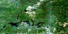
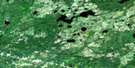
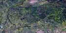
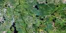
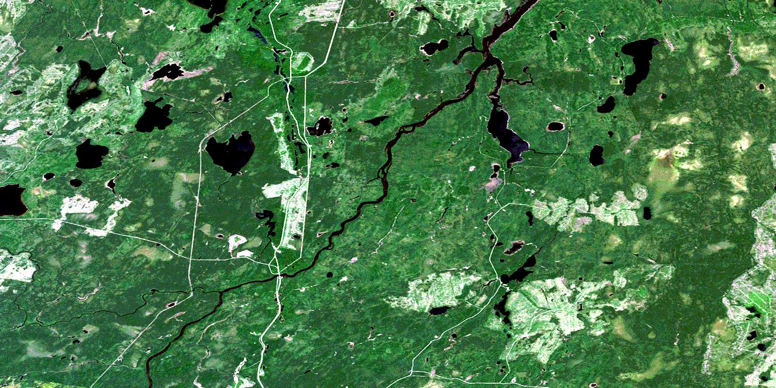
Pearce Lake Satellite Image Map
Download Free Aerial Photo 042G09 at 1:50,000 scale
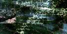
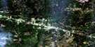
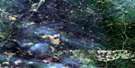
Pearce Lake Satellite Imagery
To view this satellite map, mouse over the air photo on the right.
You can also download this satellite image map for free:
042G09 Pearce Lake high-resolution satellite image map.
Maps for the Pearce Lake aerial map sheet 042G09 at 1:50,000 scale are also available in these versions:
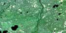
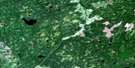
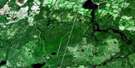
Pearce Lake Surrounding Area Aerial Photo Maps
 |
 |
 |
 |
 |
 |
 |
 |
 |
 |
 |
 |
 |
 |
 |
 |
© Department of Natural Resources Canada. All rights reserved.
Pearce Lake Gazetteer
The following places can be found on satellite image map 042G09 Pearce Lake:
Pearce Lake Satellite Image: Geographical areas
BeardmoreClay
Guilfoyle
Gurney
Hopkins
Nixon
Pearce
Teetzel
Torrance
Tucker
Weichel
Williamson
Pearce Lake Satellite Image: Lakes
Bay LakeBovril Lake
Douglas Lake
East Trump Lake
Five Pines Lake
Francklyn Lake
Gertrude Lake
Ghost Lake
Guilfoyle Lake
Gurney Lake
Hopkins Lake
Levert Lake
Margaret Lake
Maxwell Lake
McKenzie Lake
Nixon Lake
Owlet Lake
Pearce Lake
Sawyer Lake
Sensenbrenner Lake
Torrance Lake
Walkom Lake
West Trump Lake
Pearce Lake Satellite Image: Other municipal/district area - miscellaneous
Fauquier-StricklandOwens, Williamson and Idington
Shackleton and Machin
Val Rita-Harty
Pearce Lake Satellite Image: Rivers
Currie CreekFrancklyn Creek
Hopkins Creek
Kapuskasing River
Lily Creek
Lily River
Lost River
Nixon Creek
O'Brien Creek
Owlet Creek
Pearce Creek
Remi River
Rivière de Kapuskasing
Sensenbrenner Creek
Teetzel Creek
Torrance Creek
Tucker Creek
© Department of Natural Resources Canada. All rights reserved.
042G Related Maps:
042G Kapuskasing042G01 Wakusimi River
042G02 Woman Falls
042G03 Opasatika Lake
042G04 Roche Lake
042G05 Mead
042G06 Rock River
042G07 Val Rita
042G08 Kapuskasing
042G09 Pearce Lake
042G10 Opasatika
042G11 Mattice
042G12 Hearst
042G13 Hanlan Lake
042G14 Shannon Lake
042G15 Hillmer Lake
042G16 Bennet Lake
