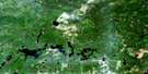
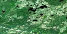
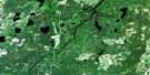
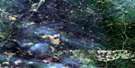
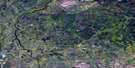
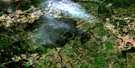
Hillmer Lake Satellite Image Map
Download Free Aerial Photo 042G15 at 1:50,000 scale
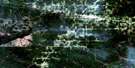
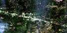
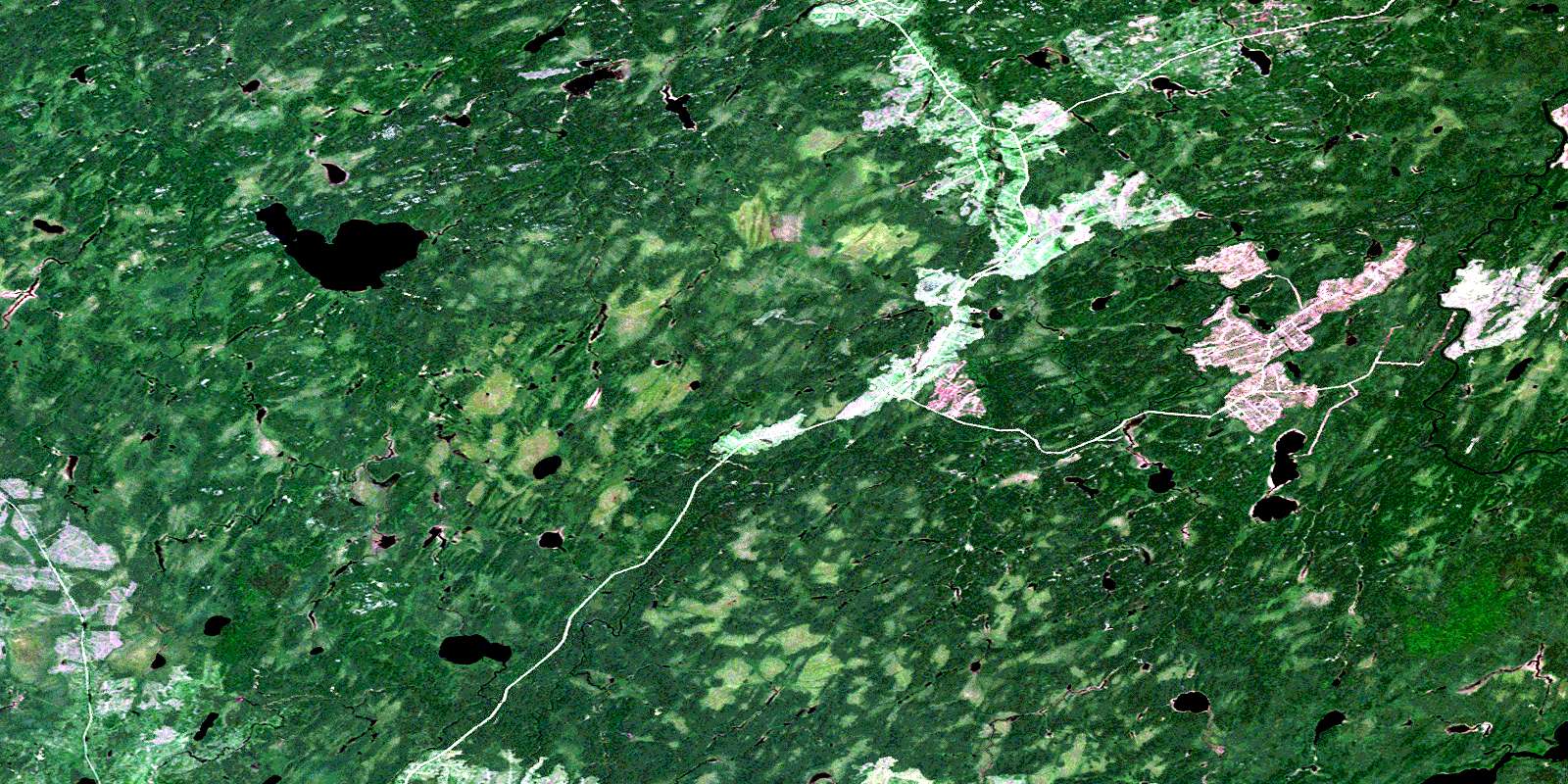
Hillmer Lake Satellite Imagery
To view this satellite map, mouse over the air photo on the right.
You can also download this satellite image map for free:
042G15 Hillmer Lake high-resolution satellite image map.
Maps for the Hillmer Lake aerial map sheet 042G15 at 1:50,000 scale are also available in these versions:
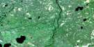
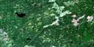
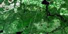
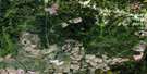
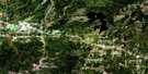
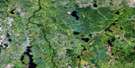
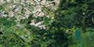
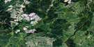
Hillmer Lake Surrounding Area Aerial Photo Maps
 |
 |
 |
 |
 |
 |
 |
 |
 |
 |
 |
 |
 |
 |
 |
 |
© Department of Natural Resources Canada. All rights reserved.
Hillmer Lake Gazetteer
The following places can be found on satellite image map 042G15 Hillmer Lake:
Hillmer Lake Satellite Image: Geographical areas
BurrittFleck
Fryatt
Haney
Hillmer
McKnight
McLeister
Sweet
Weichel
Hillmer Lake Satellite Image: Lakes
Allenby LakeBurritt Lake
Dyer Lake
Eleanor Lake
Fleck Lake
Hillmer Lake
McKnight Lake
Neshin Lake
Richter Lake
South Hillmer Lake
Ste. Croix Lake
Weichel Lake
Hillmer Lake Satellite Image: Rapids
Oxbow RapidsHillmer Lake Satellite Image: Rivers
Burritt CreekFleck Creek
Friday Creek
Hillmer Creek
Lemon Creek
McKnight Creek
Opasatika River
Opazatika River
Rivière Opasatika
Wanzatika Creek
Waxatike Creek
Weichel Creek
West Waxatike Creek
© Department of Natural Resources Canada. All rights reserved.
042G Related Maps:
042G Kapuskasing042G01 Wakusimi River
042G02 Woman Falls
042G03 Opasatika Lake
042G04 Roche Lake
042G05 Mead
042G06 Rock River
042G07 Val Rita
042G08 Kapuskasing
042G09 Pearce Lake
042G10 Opasatika
042G11 Mattice
042G12 Hearst
042G13 Hanlan Lake
042G14 Shannon Lake
042G15 Hillmer Lake
042G16 Bennet Lake
