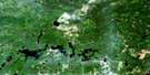
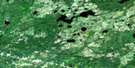
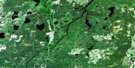
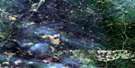
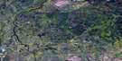
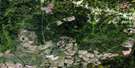
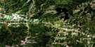
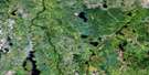
Mattice Satellite Image Map
Download Free Aerial Photo 042G11 at 1:50,000 scale
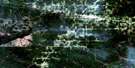
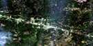
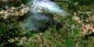
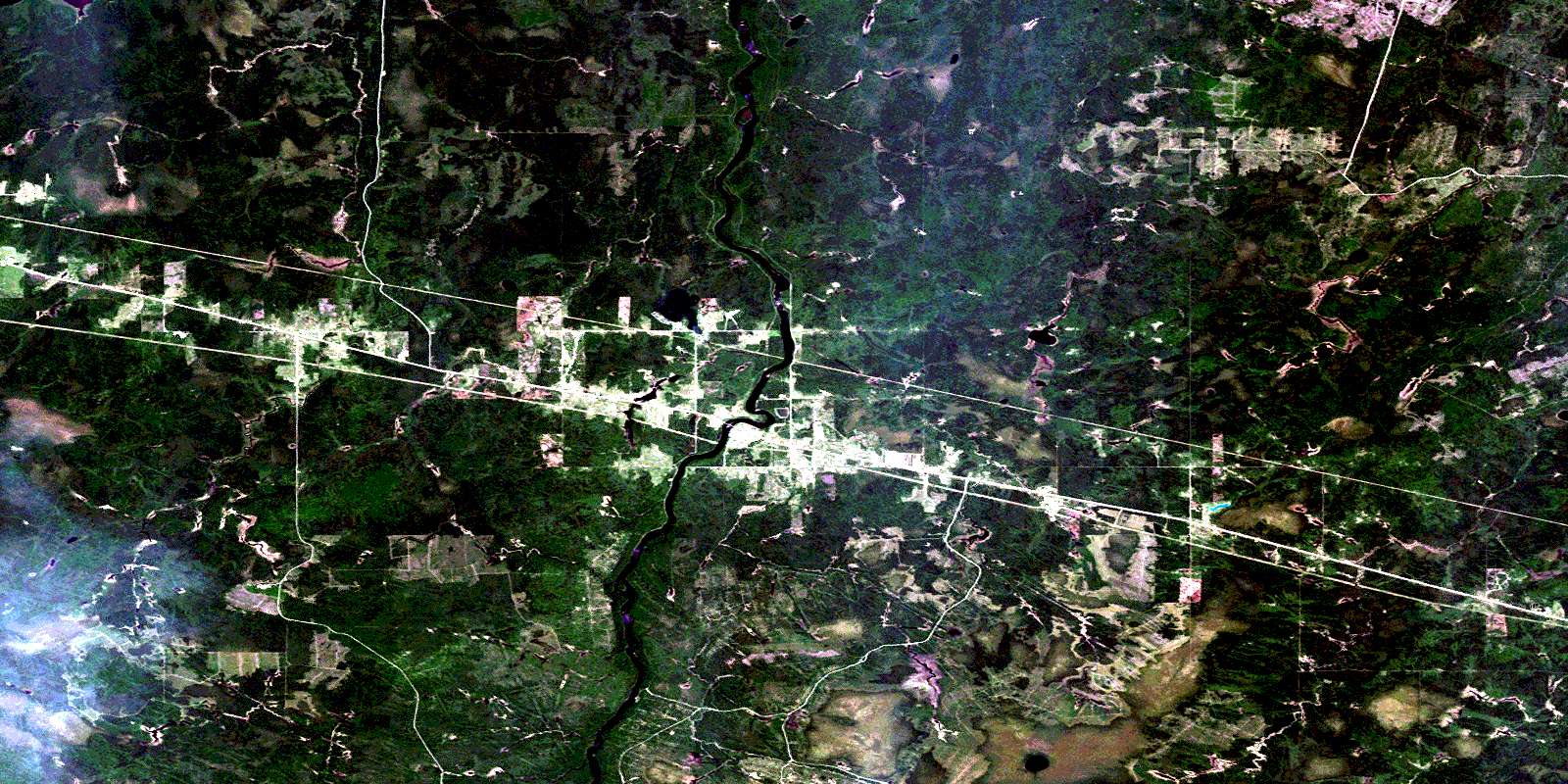
Mattice Satellite Imagery
To view this satellite map, mouse over the air photo on the right.
You can also download this satellite image map for free:
042G11 Mattice high-resolution satellite image map.
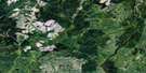
Maps for the Mattice aerial map sheet 042G11 at 1:50,000 scale are also available in these versions:
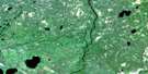
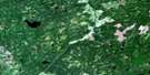
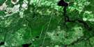
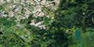
Mattice Surrounding Area Aerial Photo Maps
 |
 |
 |
 |
 |
 |
 |
 |
 |
 |
 |
 |
 |
 |
 |
 |
© Department of Natural Resources Canada. All rights reserved.
Mattice Gazetteer
The following places can be found on satellite image map 042G11 Mattice:
Mattice Satellite Image: Capes
The CapMattice Satellite Image: Geographical areas
BarkerCasgrain
Devitt
Eilber
Fleck
Kendall
McCowan
McCrea
Sankey
Shannon
Shetland
Staunton
Mattice Satellite Image: Islands
Crow IslandMurphy Island
Mattice Satellite Image: Lakes
East Mattawishkwia LakeEverard Lake
Friday Lake
Gagnon Lakes
Lac à Brouard
Mattawishkwia Lake
McCowan Lake
Parthia Lake
Shallow Lake
Mattice Satellite Image: Other municipal/district area - miscellaneous
Eilber and DevittMattice-Val Côté
Opasatika
Mattice Satellite Image: Conservation areas
Missinaibi Provincial ParkMattice Satellite Image: Rapids
Black Feather RapidsCrow Rapids
Rock Island Rapids
Mattice Satellite Image: Rivers
Barker CreekBlack Feather Creek
Creek à Dallaire
Creek à Drouin
Creek à Labonte
Crow Creek
East Mattawishkwia River
Evelyn Creek
Five Mile Creek
Friday Creek
Glenomo Creek
Hamilton Creek
Mile River
Missinaibi River
Parthia Creek
Raft Creek
Rainbow Creek
Rivière Missinaibi
Roxie Creek
Six Mile Creek
Staunton Creek
Mattice Satellite Image: Road features
Rock Island PortageMattice Satellite Image: Unincorporated areas
FryattGlenomo
Lowther
Mattice
Parthia
Reesor
Reesor Siding
Shallow Lake
Val Côté
© Department of Natural Resources Canada. All rights reserved.
042G Related Maps:
042G Kapuskasing042G01 Wakusimi River
042G02 Woman Falls
042G03 Opasatika Lake
042G04 Roche Lake
042G05 Mead
042G06 Rock River
042G07 Val Rita
042G08 Kapuskasing
042G09 Pearce Lake
042G10 Opasatika
042G11 Mattice
042G12 Hearst
042G13 Hanlan Lake
042G14 Shannon Lake
042G15 Hillmer Lake
042G16 Bennet Lake
