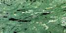
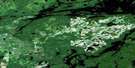
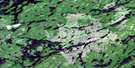
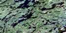
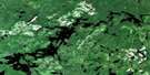
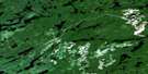
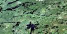
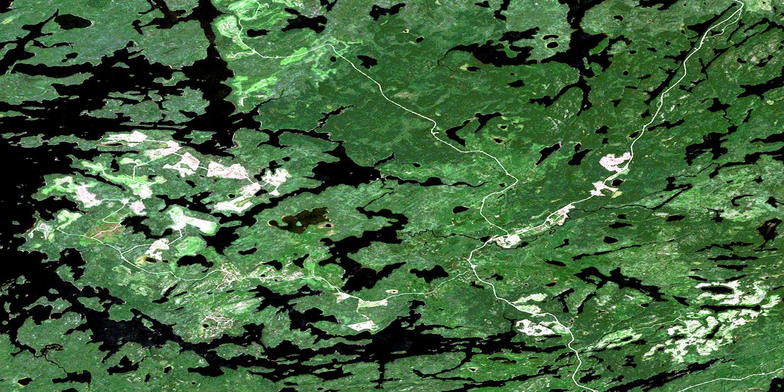
Expanse Lake Satellite Image Map
Download Free Aerial Photo 052J05 at 1:50,000 scale
Expanse Lake Satellite Imagery
To view this satellite map, mouse over the air photo on the right.
You can also download this satellite image map for free:
052J05 Expanse Lake high-resolution satellite image map.
Maps for the Expanse Lake aerial map sheet 052J05 at 1:50,000 scale are also available in these versions:
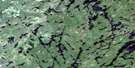
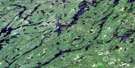
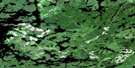
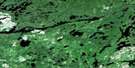
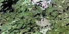
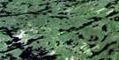
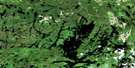
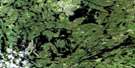
Expanse Lake Surrounding Area Aerial Photo Maps
 |
 |
 |
 |
 |
 |
 |
 |
 |
 |
 |
 |
 |
 |
 |
 |
© Department of Natural Resources Canada. All rights reserved.
Expanse Lake Gazetteer
The following places can be found on satellite image map 052J05 Expanse Lake:
Expanse Lake Satellite Image: Bays
Brechin BaySen Bay
Tuktegweik Bay
Wapesi Bay
Expanse Lake Satellite Image: Channels
Chamberlain NarrowsExpanse Lake Satellite Image: Islands
Mellish IslandOlson Island
Expanse Lake Satellite Image: Lakes
Annis LakeArcher Lake
Bindo Lake
Bump Lake
Capin Lake
China Lake
Dimock Lake
Eider Lake
Elbow Lake
Eldorado Lake
Expanse Lake
Foreman Lake
Highball Lake
Hik Lake
Holger Lake
India Lake
Japan Lake
Lac Seul
Lamour Lake
Legear Lake
Lip Lake
Lye Lake
Martin Lake
Per Lake
Perdue Lake
Porritt Lake
Pot Lake
Rel Lake
Robertson Lake
Scaler Lake
Sigurd Lake
Spade Lake
Spearn Lake
Spivy Lake
Standard Lake
Stone Lake
Store Lake
Stranger Lake
Strong Lake
Swan Lake
Swen Lake
Theatre Lake
Thorsten Lake
Tull Lake
Tully Lake
Udly Lake
Upset Lake
Valdy Lake
Waf Lake
Warden Lake
Woodman Lake
Expanse Lake Satellite Image: Rivers
Atikwa CreekBump Creek
Deception River
Eider Creek
Highball Creek
Holger Creek
Japan Creek
Kim Creek
Kimi Creek
Lamour Creek
Lip Creek
Per Creek
Robertson Creek
Sigurd Creek
Spade Creek
Spivy Creek
Stone Creek
Strong Creek
Theatre Creek
Thorsten Creek
Tully Creek
Upset Creek
Vermilion River
Waf Creek
Warden Creek
© Department of Natural Resources Canada. All rights reserved.
052J Related Maps:
052J Sioux Lookout052J01 Seseganaga Lake
052J02 Savant Lake
052J03 Ycliff
052J04 Sioux Lookout
052J05 Expanse Lake
052J06 Farrington Lake
052J07 Kashaweogama Lake
052J08 Wilkie Lake
052J09 Neverfreeze Lake
052J10 De Lesseps Lake
052J11 St Raphael Lake
052J12 Anenimus River
052J13 Otatakan Lake
052J14 Churchill Lake
052J15 Miniss Lake
052J16 Mccrea Lake
