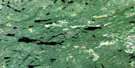
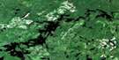
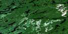
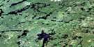
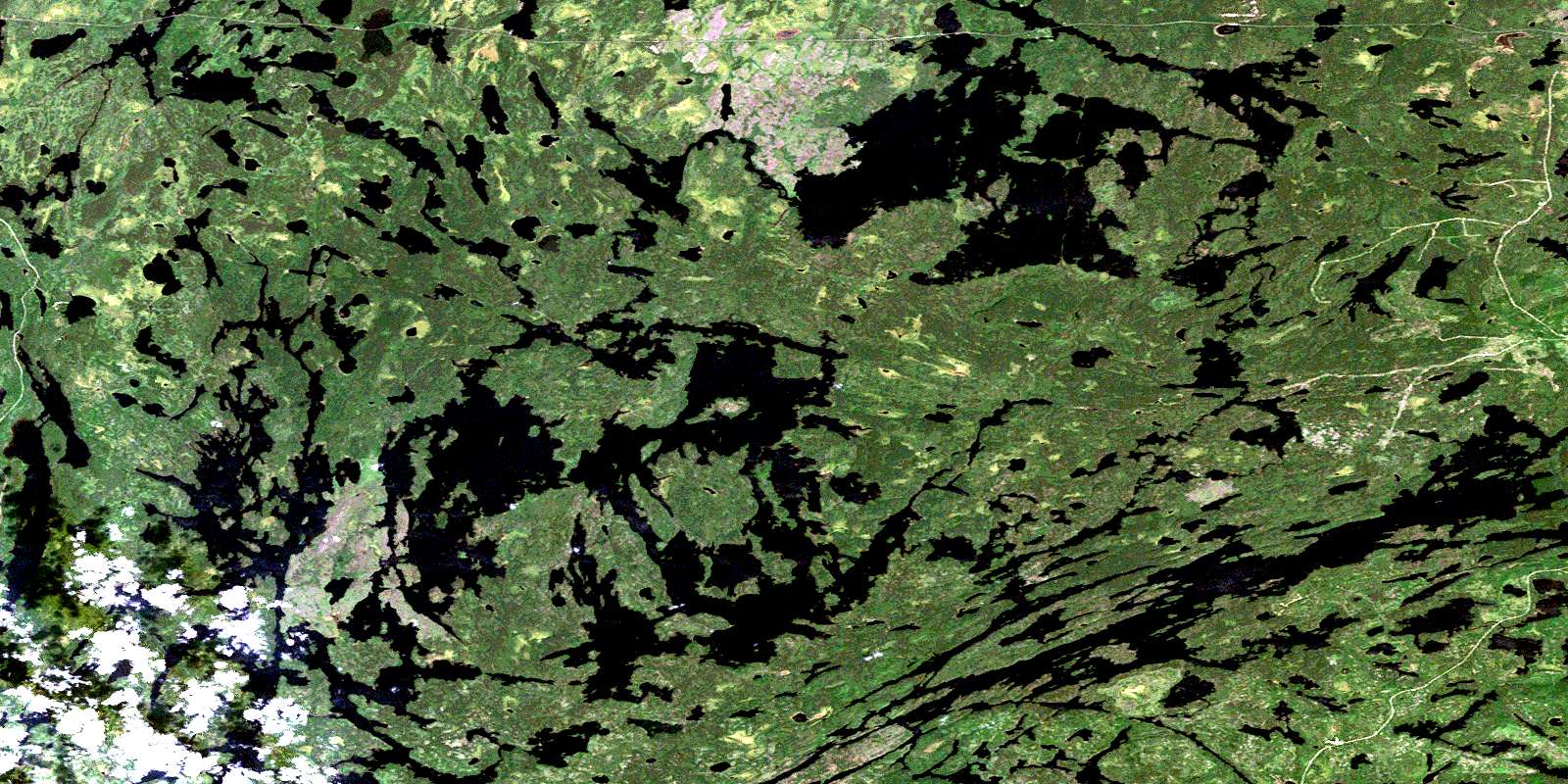
Seseganaga Lake Satellite Image Map
Download Free Aerial Photo 052J01 at 1:50,000 scale
Seseganaga Lake Satellite Imagery
To view this satellite map, mouse over the air photo on the right.
You can also download this satellite image map for free:
052J01 Seseganaga Lake high-resolution satellite image map.
Maps for the Seseganaga Lake aerial map sheet 052J01 at 1:50,000 scale are also available in these versions:
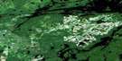
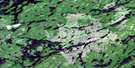
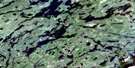
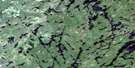
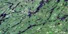
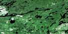
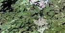
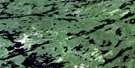
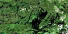
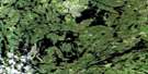
Seseganaga Lake Surrounding Area Aerial Photo Maps
 |
 |
 |
 |
 |
 |
 |
 |
 |
 |
 |
 |
 |
 |
 |
 |
© Department of Natural Resources Canada. All rights reserved.
Seseganaga Lake Gazetteer
The following places can be found on satellite image map 052J01 Seseganaga Lake:
Seseganaga Lake Satellite Image: Geographical areas
BertrandChevrier
Furlonge
Heathcote
Manion
McLaurin
Seseganaga Lake Satellite Image: Islands
Star IslandSeseganaga Lake Satellite Image: Lakes
Allard LakeAntler Lake
Arrow Lake
Boat Lake
Cameo Lake
Chappelle Lake
Corre Lake
Darce Lake
Fetter Lake
Finger Lake
Fog Lake
Harmon Lake
Heathcote Lake
Kangaroo Lake
Kawaweogama Lake
Loch Gordon
Manion Lake
McEwen Lake
Peggie Lake
Savoyard Lake
Seseganaga Lake
Sunray Lake
Swiss Lake
Tom Lake
Vanessa Lake
Wallaby Lake
Wapikaimaski Lake
Wellington Lake
Wish Lake
Seseganaga Lake Satellite Image: Conservation areas
Brightsand River Provincial ParkWabakimi Provincial Park
Seseganaga Lake Satellite Image: Rivers
Brightsand RiverManion Creek
Rocky River
Seseganaga Lake Satellite Image: Unincorporated areas
Allan WaterAllanwater
Allanwater Bridge
Flindt Landing
Harvey
© Department of Natural Resources Canada. All rights reserved.
052J Related Maps:
052J Sioux Lookout052J01 Seseganaga Lake
052J02 Savant Lake
052J03 Ycliff
052J04 Sioux Lookout
052J05 Expanse Lake
052J06 Farrington Lake
052J07 Kashaweogama Lake
052J08 Wilkie Lake
052J09 Neverfreeze Lake
052J10 De Lesseps Lake
052J11 St Raphael Lake
052J12 Anenimus River
052J13 Otatakan Lake
052J14 Churchill Lake
052J15 Miniss Lake
052J16 Mccrea Lake
