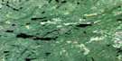
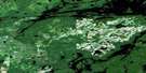
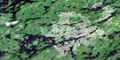
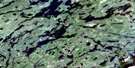
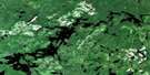
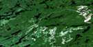
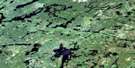
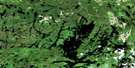
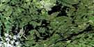
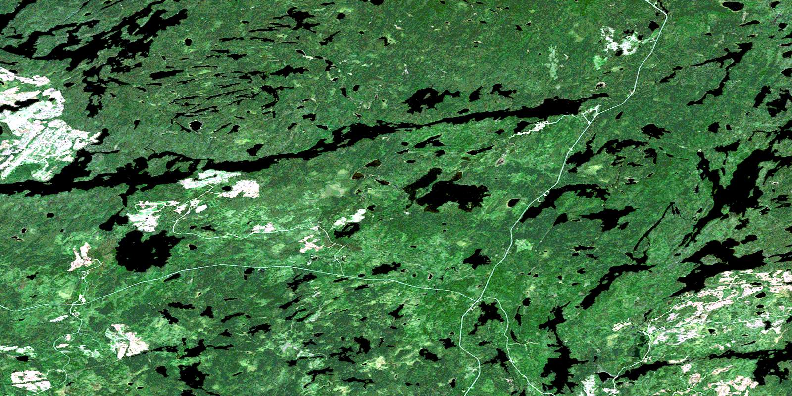
Kashaweogama Lake Satellite Image Map
Download Free Aerial Photo 052J07 at 1:50,000 scale
Kashaweogama Lake Satellite Imagery
To view this satellite map, mouse over the air photo on the right.
You can also download this satellite image map for free:
052J07 Kashaweogama Lake high-resolution satellite image map.
Maps for the Kashaweogama Lake aerial map sheet 052J07 at 1:50,000 scale are also available in these versions:
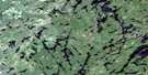
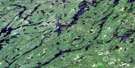
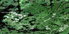
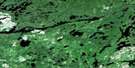
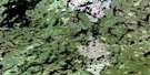
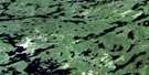
Kashaweogama Lake Surrounding Area Aerial Photo Maps
 |
 |
 |
 |
 |
 |
 |
 |
 |
 |
 |
 |
 |
 |
 |
 |
© Department of Natural Resources Canada. All rights reserved.
Kashaweogama Lake Gazetteer
The following places can be found on satellite image map 052J07 Kashaweogama Lake:
Kashaweogama Lake Satellite Image: Bays
South ArmStillar Bay
Kashaweogama Lake Satellite Image: Geographical areas
BoucherChevrier
Conant
Jutten
McCubbin
Poisson
Thunder Bay
Kashaweogama Lake Satellite Image: Indian Reserves
Ojibway Nation of SaugeenRéserve indienne Ojibway Nation of Saugeen
Kashaweogama Lake Satellite Image: Lakes
Apex LakeArmit Lake
Bowl Lake
Chivelston Lake
Conant Lake
Curlew Lake
Dickson Lake
Elam Lake
Evans Lake
Exploration Lake
Fairchild Lake
Fisher Lake
Gayo Lake
Grebe Lake
Handy Lake
Harold Lake
Harris Lake
Heron Lake
Hough Lake
Houghton Lake
Jutten Lake
Kashaweogama Lake
Lake Lee
Lawson Lake
Moosolf Lake
Neil Lake
Neston Lake
One Pine Lake
Patterson Lake
Pickerel Lake
Port Lake
Savant Lake
Shallow Lake
Shoehorn Lake
Snowbird Lake
Staunton Lake
Whimbrel Lake
Willow Lake
Winsome Lake
Kashaweogama Lake Satellite Image: Rivers
Barnard CreekHough Creek
Houghton Creek
Miniss River
Wiggle Creek
© Department of Natural Resources Canada. All rights reserved.
052J Related Maps:
052J Sioux Lookout052J01 Seseganaga Lake
052J02 Savant Lake
052J03 Ycliff
052J04 Sioux Lookout
052J05 Expanse Lake
052J06 Farrington Lake
052J07 Kashaweogama Lake
052J08 Wilkie Lake
052J09 Neverfreeze Lake
052J10 De Lesseps Lake
052J11 St Raphael Lake
052J12 Anenimus River
052J13 Otatakan Lake
052J14 Churchill Lake
052J15 Miniss Lake
052J16 Mccrea Lake
