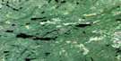
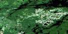
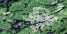
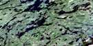
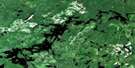
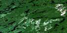
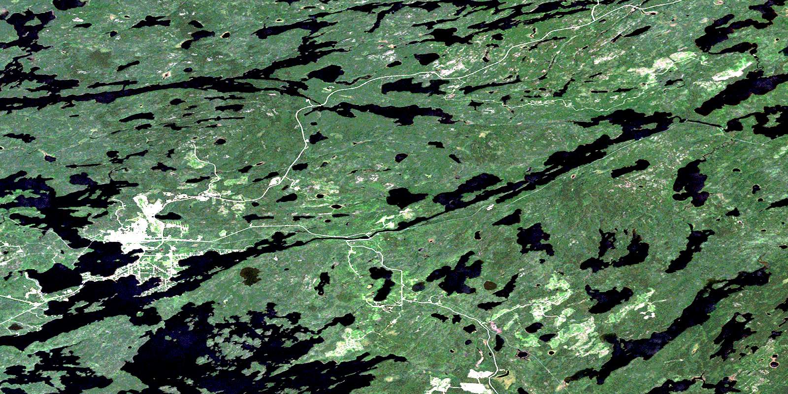
Sioux Lookout Satellite Image Map
Download Free Aerial Photo 052J04 at 1:50,000 scale
Sioux Lookout Satellite Imagery
To view this satellite map, mouse over the air photo on the right.
You can also download this satellite image map for free:
052J04 Sioux Lookout high-resolution satellite image map.
Maps for the Sioux Lookout aerial map sheet 052J04 at 1:50,000 scale are also available in these versions:
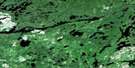
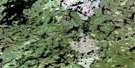
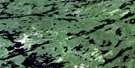
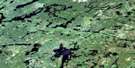
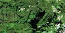
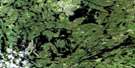
Sioux Lookout Surrounding Area Aerial Photo Maps
 |
 |
 |
 |
 |
 |
 |
 |
 |
 |
 |
 |
 |
 |
 |
 |
© Department of Natural Resources Canada. All rights reserved.
Sioux Lookout Gazetteer
The following places can be found on satellite image map 052J04 Sioux Lookout:
Sioux Lookout Satellite Image: Bays
Alcona BayDeadman's Bay
Deception Bay
Donut Bay
East Bay
McDougall Bay
Moose Bay
Northeast Bay
Troutfish Bay
Sioux Lookout Satellite Image: Capes
Boy Scout PointGordon's Sandbar
Neelands Point
Sioux Lookout Point
Sioux Lookout Satellite Image: Channels
Frog Rapids NarrowsSioux Lookout Satellite Image: Falls
McDougall FallsWindigo Falls
Sioux Lookout Satellite Image: Geographical areas
BenedicksonDrayton
Sioux Lookout Satellite Image: Islands
Long IslandMaxwell Island
Neepawa Island
Powder Island
Roden Island
Starratt Islands
Sioux Lookout Satellite Image: Lakes
Abram LakeAlkenore Lake
Allan Lake
Aubrey Lake
Batchelor Lake
Bawden Lake
Bigwood Lake
Bindo Lake
Black Lake
Bonnet Lake
Botsford Lake
Brigam Lake
Clamshell Lake
David Lake
Deception Lake
Deek Lake
Donar Lake
Drict Lake
Eastern Lake
Enira Lake
Farlinger Lake
Faulkner Lake
Fills Lake
Flavour Lake
Fore Lake
Forty Mile Lake
Forty-mile Lake
Gall Lake
Grove Lake
Hidden Lake
Jorick Lake
Kenneally Lake
Kirk Lake
Legros Lake
Limited Lake
Lincoln Lake
Little Lake
Look Lake
Lookout Lake
May Lake
Michaud Lake
Mills Lake
Minnitaki Lake
Mullen Lake
Nog Lake
Noss Lake
Out Lake
Pape Lake
Pelican Lake
Perlin Lake
Pullar Lake
Ralciv Lake
Robertson Lake
Sandel Lake
Sharron Lake
Show Lake
Snair Lake
Split Lake
Stain Lake
Star Lake
Stranger Lake
Supee Lake
Tims Lake
Tramp Lake
Ty Lake
Walton Lake
Ward Lake
Warden Lake
Yager Lake
Zarn Lake
Sioux Lookout Satellite Image: Conservation areas
Sioux Mountain Wilderness AreaSioux Lookout Satellite Image: Rapids
Abram RapidsFrog Rapids
Loon Rapids
Manitou Rapids
Sioux Lookout Satellite Image: Rivers
Bonnet CreekBrigam Creek
Deception River
Flavour Creek
Forty Mile Creek
Gall Creek
Grove Creek
Limited Creek
Marchington River
Martin Creek
Mills Creek
Minnikau Creek
Pacific Creek
Show Creek
Tata River
Tatasiti River
Sioux Lookout Satellite Image: Road features
McCauley's PortageSioux Lookout Satellite Image: Towns
Sioux LookoutSioux Lookout Satellite Image: Unincorporated areas
AlconaMcDougall Mills
Rosnel
Sam Lake
Sioux Lookout
Superior Junction
© Department of Natural Resources Canada. All rights reserved.
052J Related Maps:
052J Sioux Lookout052J01 Seseganaga Lake
052J02 Savant Lake
052J03 Ycliff
052J04 Sioux Lookout
052J05 Expanse Lake
052J06 Farrington Lake
052J07 Kashaweogama Lake
052J08 Wilkie Lake
052J09 Neverfreeze Lake
052J10 De Lesseps Lake
052J11 St Raphael Lake
052J12 Anenimus River
052J13 Otatakan Lake
052J14 Churchill Lake
052J15 Miniss Lake
052J16 Mccrea Lake
