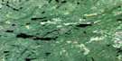
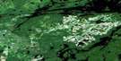
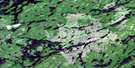
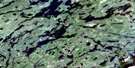
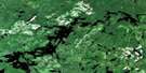
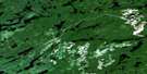
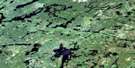
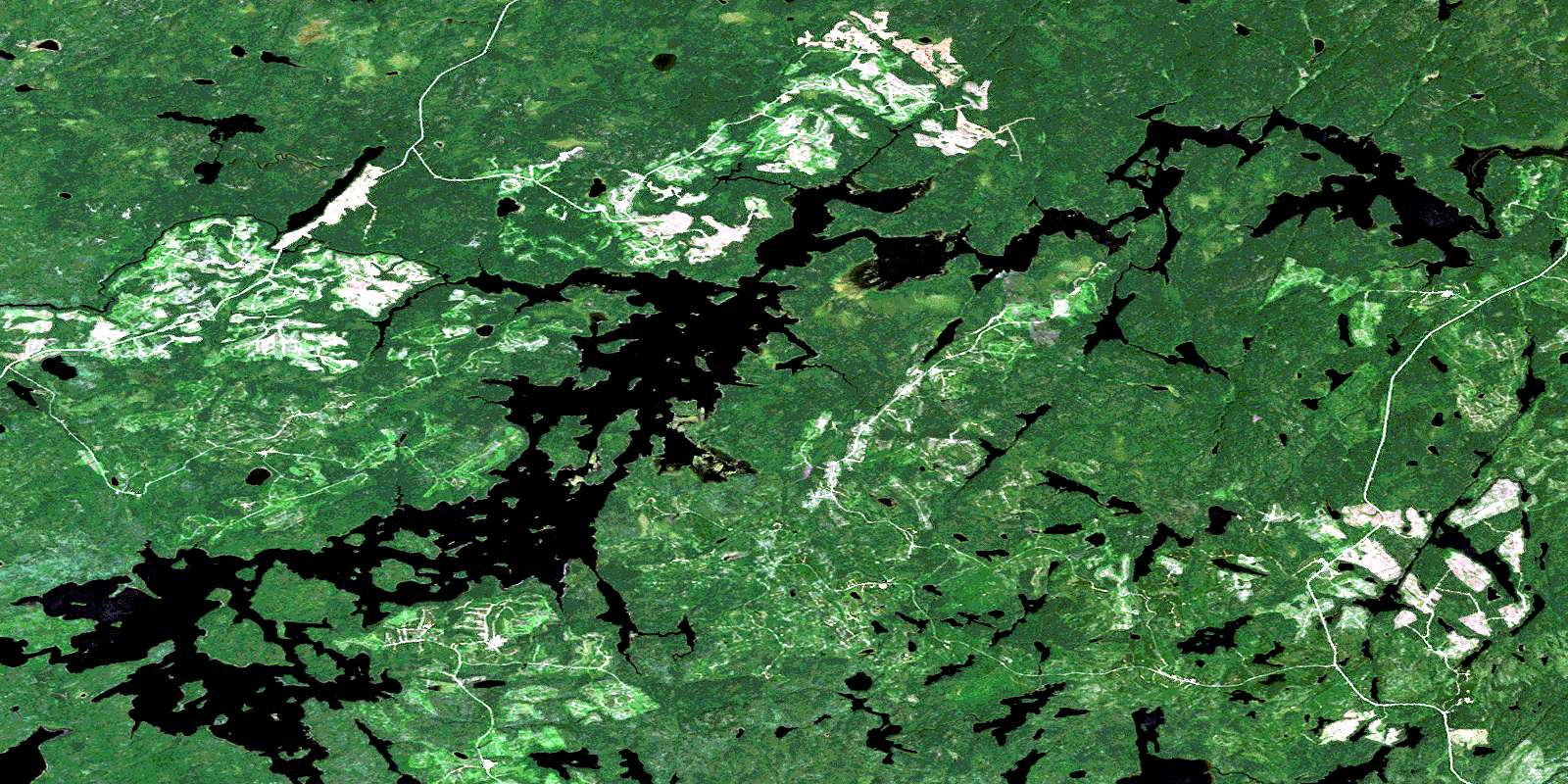
Anenimus River Satellite Image Map
Download Free Aerial Photo 052J12 at 1:50,000 scale
Anenimus River Satellite Imagery
To view this satellite map, mouse over the air photo on the right.
You can also download this satellite image map for free:
052J12 Anenimus River high-resolution satellite image map.
Maps for the Anenimus River aerial map sheet 052J12 at 1:50,000 scale are also available in these versions:
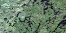
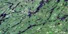
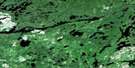
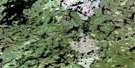
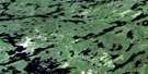
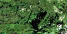
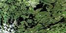
Anenimus River Surrounding Area Aerial Photo Maps
 |
 |
 |
 |
 |
 |
 |
 |
 |
 |
 |
 |
 |
 |
 |
 |
© Department of Natural Resources Canada. All rights reserved.
Anenimus River Gazetteer
The following places can be found on satellite image map 052J12 Anenimus River:
Anenimus River Satellite Image: Bays
Anenimus BayBrisco Inlet
Coones Bay
Gynane Bay
Merritt Bay
Quirt Bay
Wapesi Bay
Anenimus River Satellite Image: Lakes
Adamhay LakeAnnis Lake
Bingo Lake
Broke Lake
Dagmar Lake
Dagny Lake
Donch Lake
Dunbar Lake
Easen Lake
Felt Lake
Filter Lake
Flash Lake
Folkard Lake
Free Lake
Garbo Lake
Girvin Lake
Haig Lake
Horse Lake
Idaho Lake
Jackson Lake
Lac Seul
Leether Lake
MacDuff Lake
Mahogany Lake
March Lake
McNeely Lake
Milner Lake
Mount Lake
Pocock Lake
Prete Lake
Ration Lake
Rogow Lake
Shea Lake
Stemmler Lake
Theatre Lake
Tully Lake
Turret Lake
Udly Lake
Walk Lake
Winston Lake
Anenimus River Satellite Image: Rapids
Perch RippleAnenimus River Satellite Image: Rivers
Anenimus RiverBalsawood Creek
Copilot Creek
Dagmar Creek
Deadhead Creek
Donch Creek
Dunbar Creek
Ecar Creek
Filter Creek
Flash Creek
Free Creek
Horse Creek
Idaho Creek
Maskara River
Newt Creek
Root River
Winston Creek
© Department of Natural Resources Canada. All rights reserved.
052J Related Maps:
052J Sioux Lookout052J01 Seseganaga Lake
052J02 Savant Lake
052J03 Ycliff
052J04 Sioux Lookout
052J05 Expanse Lake
052J06 Farrington Lake
052J07 Kashaweogama Lake
052J08 Wilkie Lake
052J09 Neverfreeze Lake
052J10 De Lesseps Lake
052J11 St Raphael Lake
052J12 Anenimus River
052J13 Otatakan Lake
052J14 Churchill Lake
052J15 Miniss Lake
052J16 Mccrea Lake
