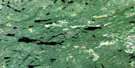
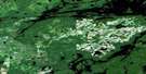
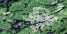
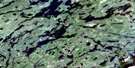
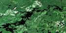
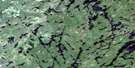
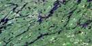
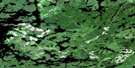
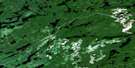
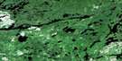
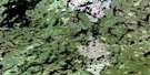
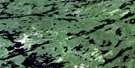
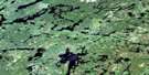
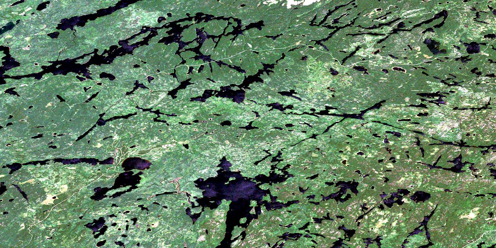
Ycliff Satellite Image Map
Download Free Aerial Photo 052J03 at 1:50,000 scale
Ycliff Satellite Imagery
To view this satellite map, mouse over the air photo on the right.
You can also download this satellite image map for free:
052J03 Ycliff high-resolution satellite image map.
Maps for the Ycliff aerial map sheet 052J03 at 1:50,000 scale are also available in these versions:
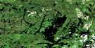
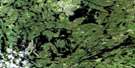
Ycliff Surrounding Area Aerial Photo Maps
 |
 |
 |
 |
 |
 |
 |
 |
 |
 |
 |
 |
 |
 |
 |
 |
© Department of Natural Resources Canada. All rights reserved.
Ycliff Gazetteer
The following places can be found on satellite image map 052J03 Ycliff:
Ycliff Satellite Image: Bays
Muskrat BayNortheast Bay
Ycliff Satellite Image: Falls
Twin FallsYcliff Satellite Image: Geographical areas
BarrettYcliff Satellite Image: Lakes
Atlantic LakeBadshot Lake
Bent Lake
Black Beaver Lake
Bread Lake
Bungy Lake
Burnt Dam Lake
Caribou Lake
Conver Lake
Corsica Lake
Die Lake
Divided Lake
Dizzy Lake
Dominion Lake
Ekstrom Lake
Gart Lake
Gary Lake
Gibraltar Lake
Handcuff Lake
Horne Lake
Kena Lake
Kinniwap Lake
Lake of Bays
London Lake
Louise Lake
Mall Lake
Malta Lake
Marchington Lake
Marion Lake
McBain Lake
McDott Lake
Mile Board Lake
Nagron Lake
Nak Lake
Nesbitt Lake
Nog Lake
Noss Lake
Pacific Lake
Paris Lake
Payne Lake
Quaint Lake
Reynolds Lake
Rome Lake
Sahara Lake
Singapore Lake
Spruce Lake
Stanzhikimi Lake
Stranger Lake
Tawatinaw Lake
Ten Mile Lake
Ward Lake
Ycliff Satellite Image: Rivers
Bent CreekDominion Creek
Dominion River
Kee Creek
Kinniwap Brook
Kinniwap Creek
Lake of Bays River
Mall Creek
Nagron Creek
Nesbitt Creek
North River
Pacific Creek
Payne Creek
Sturgeon River
Watin Creek
Ycliff Creek
Ycliff Satellite Image: Road features
Spruce PortageYcliff Satellite Image: Unincorporated areas
Ghost RiverRobinson
Smith
Wardrope
Ycliff
© Department of Natural Resources Canada. All rights reserved.
052J Related Maps:
052J Sioux Lookout052J01 Seseganaga Lake
052J02 Savant Lake
052J03 Ycliff
052J04 Sioux Lookout
052J05 Expanse Lake
052J06 Farrington Lake
052J07 Kashaweogama Lake
052J08 Wilkie Lake
052J09 Neverfreeze Lake
052J10 De Lesseps Lake
052J11 St Raphael Lake
052J12 Anenimus River
052J13 Otatakan Lake
052J14 Churchill Lake
052J15 Miniss Lake
052J16 Mccrea Lake
