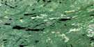
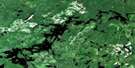
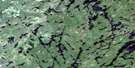
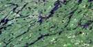
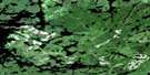
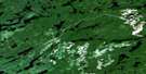
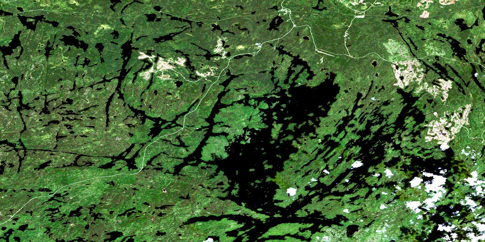
Savant Lake Satellite Image Map
Download Free Aerial Photo 052J02 at 1:50,000 scale
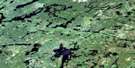
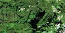
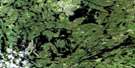
Savant Lake Satellite Imagery
To view this satellite map, mouse over the air photo on the right.
You can also download this satellite image map for free:
052J02 Savant Lake high-resolution satellite image map.
Maps for the Savant Lake aerial map sheet 052J02 at 1:50,000 scale are also available in these versions:
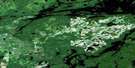
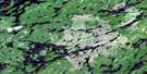
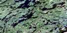
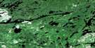
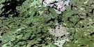
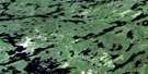
Savant Lake Surrounding Area Aerial Photo Maps
 |
 |
 |
 |
 |
 |
 |
 |
 |
 |
 |
 |
 |
 |
 |
 |
© Department of Natural Resources Canada. All rights reserved.
Savant Lake Gazetteer
The following places can be found on satellite image map 052J02 Savant Lake:
Savant Lake Satellite Image: Bays
Belmore BayBlack Bay
Cobb Bay
Countryman's Bay
East Bay
Horizontal Bay
Jones Bay
King Bay
Marie's Bay
Nipigon Bay
North Arm
Northeast Arm
Shore's Bay
St. Anthony Bay
Savant Lake Satellite Image: Capes
Green PointHotel Point
The Horn
Trapper's Point
Savant Lake Satellite Image: Channels
Canoe ChannelDeadhorse Narrows
Droopy Narrows
Steamboat Channel
Symmes Narrows
Savant Lake Satellite Image: Falls
White FallsSavant Lake Satellite Image: Geographical areas
BoucherChevrier
Thunder Bay
Savant Lake Satellite Image: Hydraulic construction
St Anthony DamSavant Lake Satellite Image: Islands
Burnt IslandCoveney Island
Fire Ranger Island
Johnson Island
Morgan Island
Rainbow Island
Second Island
Savant Lake Satellite Image: Lakes
Back LakeBarnard Lake
Beckington Lake
Belanger Lake
Canoe Lake
Chivelston Lake
Clear Lake
Clevis Lake
Couture Lake
Coveney Lake
Dan's Lake
Davies Lake
Die Lake
Dizzy Lake
Eady Lake
Empress Lake
Fly Lake
Fourbay Lake
Fowler Lake
Fraser Lake
Grup Lake
Jessie Lake
Jumping Lake
Loch Gordon
London Lake
Magee Lake
McEdwards Lake
Michell Lake
Miners Lake
Ouilette Lake
Pumphouse Lake
Pup Lake
Queens Lake
Rainbow Lake
Richan Lake
Ringham Lake
Rome Lake
Saunders Lake
Six Mile Lake
Sixmile Lake
South Lake
Squaw Lake
Stringbean Lake
Sturgeon Lake
Threebay Lake
Trap Lake
Vanessa Lake
Vista Lake
Wellington Lake
Wolf Lake
Wrench Lake
Yon Lake
Zen Lake
Savant Lake Satellite Image: Rivers
Barnard CreekCoveney Creek
Quest Creek
Six Mile Creek
Sturgeon River
Trout Creek
Vista Creek
Savant Lake Satellite Image: Unincorporated areas
FowlerSavant Lake
St. Anthony Mine
Staunton
Trapper's Landing
© Department of Natural Resources Canada. All rights reserved.
052J Related Maps:
052J Sioux Lookout052J01 Seseganaga Lake
052J02 Savant Lake
052J03 Ycliff
052J04 Sioux Lookout
052J05 Expanse Lake
052J06 Farrington Lake
052J07 Kashaweogama Lake
052J08 Wilkie Lake
052J09 Neverfreeze Lake
052J10 De Lesseps Lake
052J11 St Raphael Lake
052J12 Anenimus River
052J13 Otatakan Lake
052J14 Churchill Lake
052J15 Miniss Lake
052J16 Mccrea Lake
