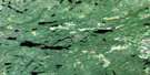
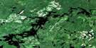
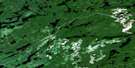
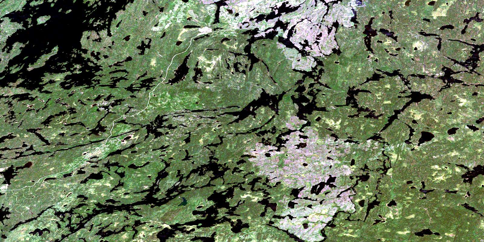
Wilkie Lake Satellite Image Map
Download Free Aerial Photo 052J08 at 1:50,000 scale
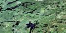
Wilkie Lake Satellite Imagery
To view this satellite map, mouse over the air photo on the right.
You can also download this satellite image map for free:
052J08 Wilkie Lake high-resolution satellite image map.
Maps for the Wilkie Lake aerial map sheet 052J08 at 1:50,000 scale are also available in these versions:
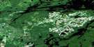
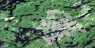
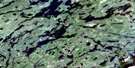
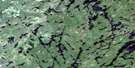
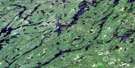
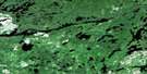
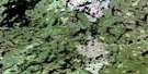
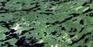
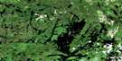
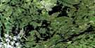
Wilkie Lake Surrounding Area Aerial Photo Maps
 |
 |
 |
 |
 |
 |
 |
 |
 |
 |
 |
 |
 |
 |
 |
 |
© Department of Natural Resources Canada. All rights reserved.
Wilkie Lake Gazetteer
The following places can be found on satellite image map 052J08 Wilkie Lake:
Wilkie Lake Satellite Image: Bays
Southeast BayStillar Bay
Wilkie Lake Satellite Image: Geographical areas
BulmerChevrier
Fletcher
Furlonge
Heathcote
Jutten
McGillis
Poisson
Smye
Wilkie Lake Satellite Image: Islands
Girard IslandWilkie Lake Satellite Image: Lakes
Barnum LakeBarrington Lake
Brennan Lake
Buchanan Lake
Devizes Lake
Elga Lake
Fetter Lake
Flet Lake
Flindt Lake
Foam Lake
Gault Lake
Hackett Lake
Hazel Lake
Heafur Lake
Heathcote Lake
Labelle Lake
Leggo Lake
Mystery Lake
Neston Lake
Oak Lake
One Pine Lake
Painter Lake
Pride Lake
Redhead Lake
Ringside Lake
Sassenach Lake
Savant Lake
Silver Lake
Smye Lake
Stump Lake
Survey Lake
Upper Smye Lake
Valley Lake
Virginian Lake
Wilkie Lake
Windfall Lake
Wilkie Lake Satellite Image: Conservation areas
Wabakimi Provincial ParkWilkie Lake Satellite Image: Rivers
Allan WaterElga Creek
Foam Creek
Labelle Creek
Mystery Creek
Painter Creek
Smye Creek
Virginian Creek
© Department of Natural Resources Canada. All rights reserved.
052J Related Maps:
052J Sioux Lookout052J01 Seseganaga Lake
052J02 Savant Lake
052J03 Ycliff
052J04 Sioux Lookout
052J05 Expanse Lake
052J06 Farrington Lake
052J07 Kashaweogama Lake
052J08 Wilkie Lake
052J09 Neverfreeze Lake
052J10 De Lesseps Lake
052J11 St Raphael Lake
052J12 Anenimus River
052J13 Otatakan Lake
052J14 Churchill Lake
052J15 Miniss Lake
052J16 Mccrea Lake
