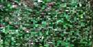
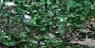
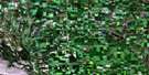
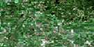
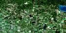
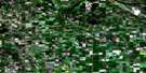
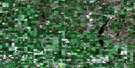
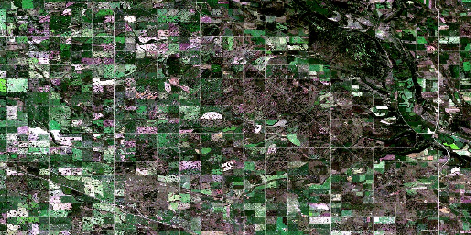
Miniota Satellite Image Map
Download Free Aerial Photo 062K03 at 1:50,000 scale
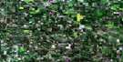
Miniota Satellite Imagery
To view this satellite map, mouse over the air photo on the right.
You can also download this satellite image map for free:
062K03 Miniota high-resolution satellite image map.
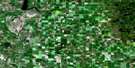
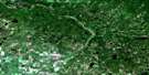
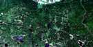
Maps for the Miniota aerial map sheet 062K03 at 1:50,000 scale are also available in these versions:
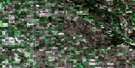
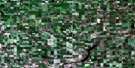
Miniota Surrounding Area Aerial Photo Maps
 |
 |
 |
 |
 |
 |
 |
 |
 |
 |
 |
 |
 |
 |
 |
© Department of Natural Resources Canada. All rights reserved.
Miniota Gazetteer
The following places can be found on satellite image map 062K03 Miniota:
Miniota Satellite Image: Indian Reserves
Birdtail Creek 57Birdtail Hay Lands 57A
Miniota Satellite Image: Lakes
Powers LagoonMiniota Satellite Image: Other municipal/district area - miscellaneous
ArchieMiniota
Miniota Satellite Image: Conservation areas
Upper Assiniboine Wildlife Management AreaMiniota Satellite Image: Plains
Stony PlainsMiniota Satellite Image: Rivers
Assiniboine RiverBosshill Creek
Bosshill Creek
Bosshill Creek
Brennand Creek
Brennand Creek
Gopher Creek
Hotonka Creek
Minnewasta Creek
Niso Creek
Niso Creek
Wythes Creek
Miniota Satellite Image: Towns
FlemingMiniota Satellite Image: Unincorporated areas
BurnbankKenage
Kirkella
Manson
Miniota
Reeder
Two Creeks
Uno
Willen
© Department of Natural Resources Canada. All rights reserved.
